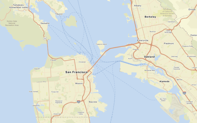
Use the MapLibre ArcGIS plugin to display the arcgis/streets basemap style and set style preferences to show places.
What you'll learn
You will learn how to:
- Create an API key credential.
- Use an access token to access a basemap style.
- Display a basemap style from the ArcGIS Basemap Styles service with the MapLibre ArcGIS plugin.
- Set basemap style preferences.
- Restrict map boundaries and limit user interactions to optimize tile usage.
- Create an app that uses the basemap tile usage model. Learn more here.
What you'll use
- MapLibre ArcGIS plugin
- ArcGIS Basemap Styles service
- API key authentication
- Access token
What you'll need
Before you begin, you need the following:
- An ArcGIS Location Platform or ArcGIS Online account.
- A modern web browser, such as recent versions of Chrome, Firefox, Safari, or Edge.
- Basic knowledge of HTML, CSS, and JavaScript.
- A code editor, such as CodePen (recommended for this how-to).