Use the ArcGIS Geocoding service and ArcGIS REST JS to add search on the app.
Prerequisites
- You need an ArcGIS Location Platform account.
- You need to complete Step 3. Change the basemap style.
Steps
Add script references
This tutorial uses ArcGIS REST JS to access the ArcGIS Geocoding service.
-
In the
<headelement, add references to the ArcGIS REST JS> requestandgeocodinglibraries.Use dark colors for code blocks <!-- Load ArcGIS REST JS --> <script src="https://unpkg.com/@esri/arcgis-rest-request@4/dist/bundled/request.umd.js"></script> <script src="https://unpkg.com/@esri/arcgis-rest-geocoding@4/dist/bundled/geocoding.umd.js"></script> -
Create a REST JS
Apiusing your access token. This object will authorize requests to the Geocoding service later.Key Manager Use dark colors for code blocks const authentication = arcgisRest.ApiKeyManager.fromKey(accessToken);
Create a Geocode
To let users geocode, you can create a custom control that implements MapLibre's I.
-
Create a new
Geocode. This control will include an input field where users can type an address they want to geocode on the map.Control Use dark colors for code blocks class GeocodeControl { onAdd() { const container = document.createElement("div"); container.className = "maplibregl-ctrl maplibregl-ctrl-group"; container.innerHTML = ` <div id="geocode-container"> <input id="geocode-input" type="text" placeholder="Type an address or place" autocomplete="off" /> <button id="clear-button">×</button> </div> `; return container; } } -
In the
<bodyof your HTML, add a> <ulelement with the id> suggestions. This list will display location suggestions below the input field.Use dark colors for code blocks <div id="map"></div> <ul id="suggestions"></ul> -
Add CSS styling to control the layout and appearance of the geocoding control and the suggestions list.
Use dark colors for code blocks #geocode-container { display: flex; align-items: center; } #geocode-input { padding: 4px 8px; width: 20vw; border: 0; } #clear-button { border: none; color: #666; cursor: pointer; background-color: #fff; z-index: 1; } #suggestions { display: none; position: absolute; top: 40px; left: 10px; background: white; list-style: none; padding: 0; margin: 0; width: 25vw; z-index: 999; } #suggestions li { padding: 6px 8px; border: 1px solid transparent; box-sizing: border-box; } #suggestions li:hover { background-color: #f0f0f0; } #suggestions li.selected { border-color: #000000; } -
Add the
Geocodeto the top left of your map.Control Use dark colors for code blocks class GeocodeControl { onAdd() { const container = document.createElement("div"); container.className = "maplibregl-ctrl maplibregl-ctrl-group"; container.innerHTML = ` <div id="geocode-container"> <input id="geocode-input" type="text" placeholder="Type an address or place" autocomplete="off" /> <button id="clear-button">×</button> </div> `; return container; } } map.addControl(new GeocodeControl(), "top-left");
Get address suggestions
Use the suggest method from the geocoding service to fetch location suggestions as a user types.
-
Add an input event handler to capture text as a user types. Reset the selection index and hide suggestions when the input is empty.
Use dark colors for code blocks const input = document.getElementById("geocode-input"); const suggestionsList = document.getElementById("suggestions"); let selectedIndex = -1; input.addEventListener("input", () => { selectedIndex = -1; const text = input.value; if (!text) return suggestionsList.style.display = "none"; }); -
Use the
suggestmethod to fetch location suggestions as the user types, then display them in a list. For each suggestion, create an<lielement, append it to the suggestions list, and make the list visible.> Use dark colors for code blocks const input = document.getElementById("geocode-input"); const suggestionsList = document.getElementById("suggestions"); let selectedIndex = -1; input.addEventListener("input", () => { selectedIndex = -1; const text = input.value; if (!text) return suggestionsList.style.display = "none"; arcgisRest.suggest(text, { authentication, params: { maxSuggestions: 4 } }).then((response) => { suggestionsList.innerHTML = ""; if (!response.suggestions?.length) { suggestionsList.style.display = "none"; return; } response.suggestions.forEach((suggestion) => { const li = document.createElement("li"); li.textContent = suggestion.text; suggestionsList.appendChild(li); }); suggestionsList.style.display = "block"; }); });
Search for an address
When the user selects a suggestion, call the geocode method to get location coordinates.
-
Create a function that calls
geocodeusing themagicreturned by theKey suggestmethod. Themagichelps match partial text input to a complete address. You will use this function in a later step.Key Use dark colors for code blocks let popup = null; function performGeocode(magicKey) { arcgisRest.geocode({ magicKey, authentication }).then((response) => { const result = response.candidates[0]; const lngLat = [result.location.x, result.location.y]; }); } -
Show the location details with a popup and pan the map to the location.
Use dark colors for code blocks let popup = null; function performGeocode(magicKey) { arcgisRest.geocode({ magicKey, authentication }).then((response) => { const result = response.candidates[0]; const lngLat = [result.location.x, result.location.y]; popup?.remove(); popup = new maplibregl.Popup({ focusAfterOpen: false }) .setLngLat(lngLat) .setHTML(`<strong>${result.address}</strong><br />${lngLat[0].toFixed(4)}, ${lngLat[1].toFixed(4)}`) .addTo(map); const bounds = [ [result.extent.xmin, result.extent.ymin], // [south, west] [result.extent.xmax, result.extent.ymax] // [north, east] ]; map.fitBounds(bounds, { padding: 20, animate: false }); }); } -
Add a click handler to each suggestion item to call the
performfunction with the suggestion'sGeocode magic.Key Use dark colors for code blocks const input = document.getElementById("geocode-input"); const suggestionsList = document.getElementById("suggestions"); let selectedIndex = -1; input.addEventListener("input", () => { selectedIndex = -1; const text = input.value; if (!text) return suggestionsList.style.display = "none"; arcgisRest.suggest(text, { authentication, params: { maxSuggestions: 4 } }).then((response) => { suggestionsList.innerHTML = ""; if (!response.suggestions?.length) { suggestionsList.style.display = "none"; return; } response.suggestions.forEach((suggestion) => { const li = document.createElement("li"); li.textContent = suggestion.text; li.addEventListener("click", () => { input.value = suggestion.text; suggestionsList.style.display = "none"; performGeocode(suggestion.magicKey); }); suggestionsList.appendChild(li); }); suggestionsList.style.display = "block"; }); }); -
Improve app usability by adding hover styles, enabling keyboard navigation, and using the clear button in the input element.
Use dark colors for code blocks // Handle keyboard navigation in the suggestions list input.addEventListener("keydown", (e) => { const items = suggestionsList.querySelectorAll("li"); if (e.key === "ArrowDown" && selectedIndex < items.length - 1) { selectedIndex++; } else if (e.key === "ArrowUp" && selectedIndex > 0) { selectedIndex--; } else if (e.key === "Enter" && selectedIndex >= 0) { items[selectedIndex].click(); } items.forEach((item, i) => item.classList.toggle("selected", i === selectedIndex)); }); // Clear the input and remove popup when the clear button is clicked document.getElementById("clear-button").addEventListener("click", () => { input.value = ""; popup?.remove(); }); // Hide suggestions if the user clicks outside the geocode container document.addEventListener("click", (e) => { if (!document.getElementById("geocode-container").contains(e.target)) { suggestionsList.style.display = "none"; } });
Run the app
Run the app.
The map should display a geocoding input that lets you search for locations, see address suggestions, and navigate the map to a selected result.Congratulations!
You have completed the Display a map with a basemap session how-to. The application uses a session token to access and display basemap styles. It allows you to change the basemap style, geocode to any location, and zoom in and out without restrictions. The basemap session (and session token) are valid for 12 hours and are automatically refreshed when they expire.
What's next?
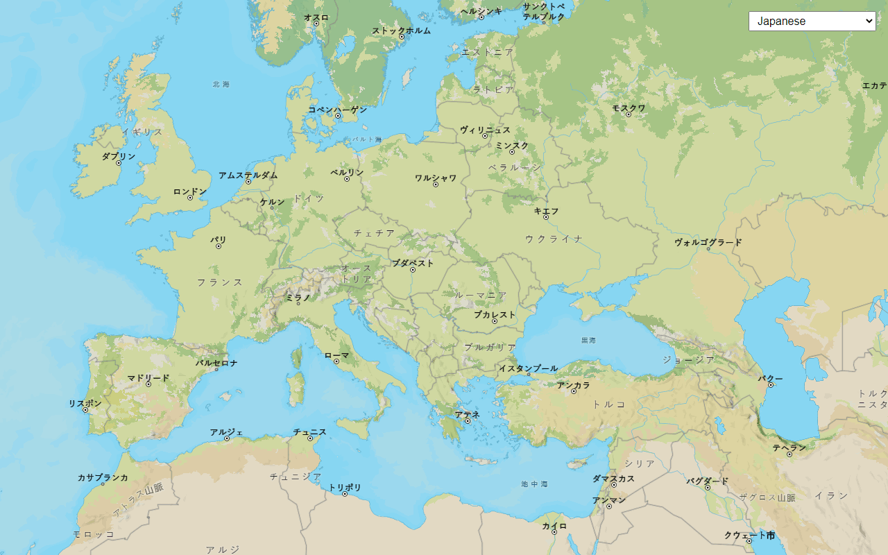
Change language labels
Switch the language of place labels on a basemap.
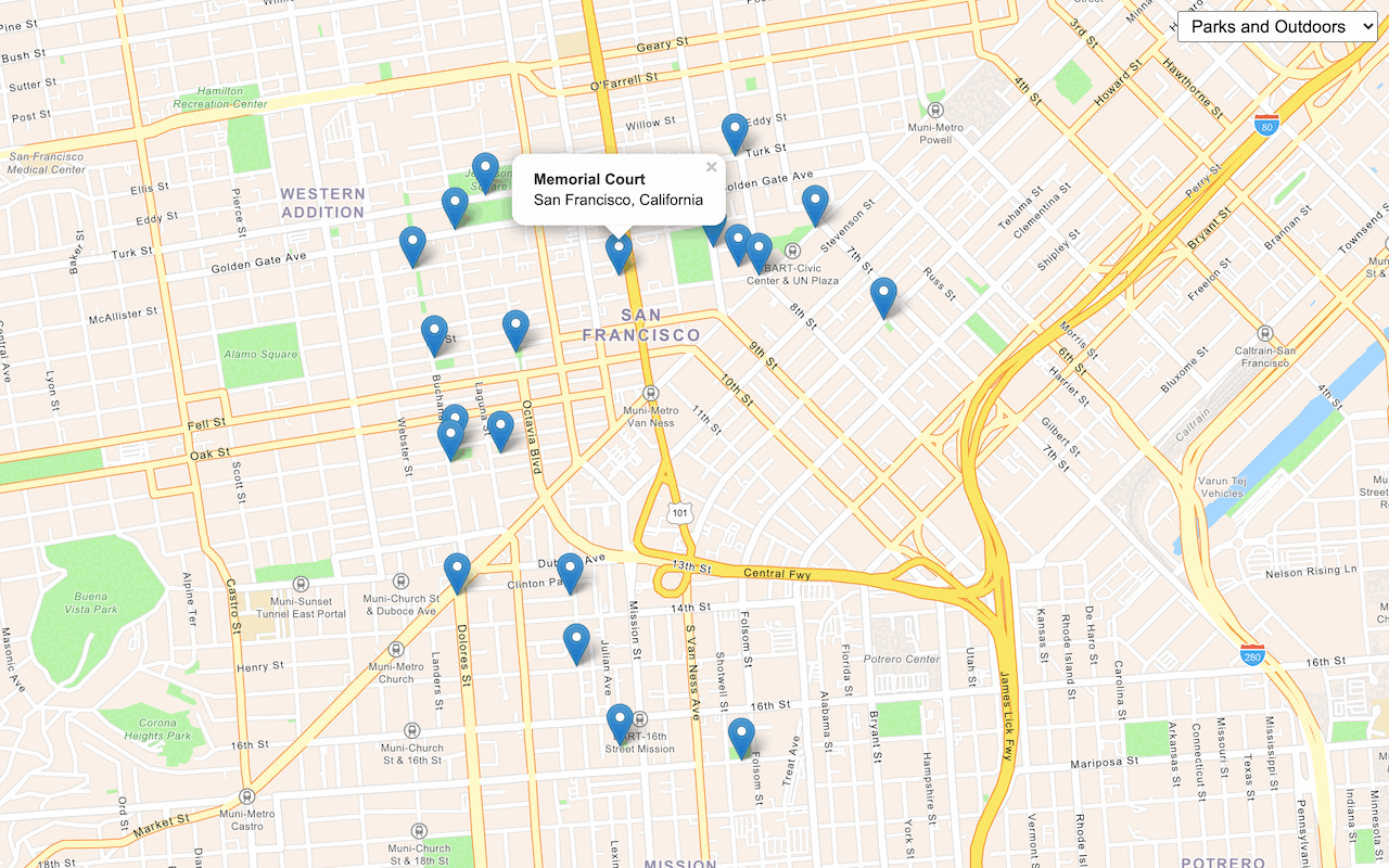
Find place addresses
Search for places by category near a location.
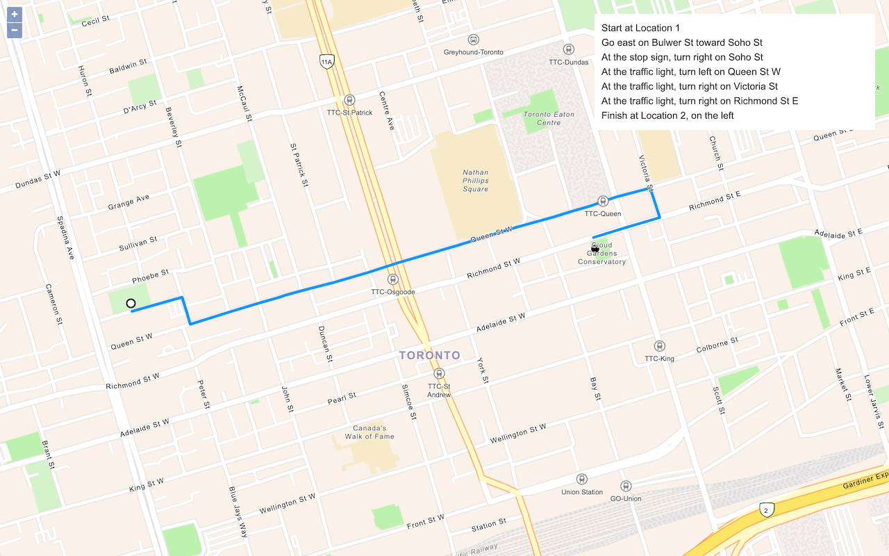
Find a route and directions
Find a route and directions from a start and finish location.
To explore additional ArcGIS capabilities, go to Tutorials.