You can create different types of offline apps with ArcGIS Maps SDKs for Native Apps. This section provides an overview of partially offline apps, fully offline apps, and a comparison below.
Partially offline apps
Partially offline apps are offline apps designed for situations where network connectivity may be unreliable. This is ideal for when users can access the network but cannot guarantee constant connectivity. This type of application is able to easily handle transitions between connected and disconnected states.
There are two scenarios for using partially offline apps:
- Online-first: You download maps and synchronize data in a connected environment before going offline. This strategy is well-suited for a field worker who wants to be prepared for periods of limited or no connectivity.
- Offline-first: You use the app with data you already have locally and access online capabilities when connected to a network, such as using hosted layers.
Fully offline apps
Fully offline apps are offline apps designed for situations where network connectivity is entirely absent. They are also used when you have a large amount of data and it is impractical to transfer the data over the network. This type of application stores all of the data it needs to work locally, allowing it to function without network connectivity.
Offline app comparison
Capabilities
The following table compares the capabilities of a partially offline app and a fully offline app:
| Partially offline app | Fully offline app | |
|---|---|---|
| Use 2D maps | ||
| Use 3D scenes | ||
| Partial network connectivity | ||
| No network connectivity | ||
| Use online services | ||
| Edit while offline | ||
| Synchronize offline edits with online source | ||
| Offline geocoding | 1 | 1 |
| Offline routing | 1 | 1 |
| Offline spatial analysis | 1 | 1 |
- 1. Mobile packages only
Use cases
The following table shows common use cases and their corresponding types of offline applications.
| Use case | Solution |
|---|---|
| You are a mobile worker who wants to view and edit 2D maps or 3D scenes in areas without network connectivity. | Partially offline app or fully offline app |
| You want to prepare data in advance for fieldwork in remote areas. | Partially offline app |
| You want to access maps and data in areas where network access is restricted for security reasons. | Fully offline app |
| You want to use online services alongside local data when network is available, such as accessing weather or traffic information. | Partially offline app |
| You want to collect field data without network access. | Partially offline app or fully offline app |
| You want to synchronize field data collected offline with the online feature service upon returning to the office. | Partially offline app |
| You want to search for an address without network access. | Partially offline app or fully offline app |
| You want to plan routes in areas without network access. | Partially offline app or fully offline app |
| You want to analyze terrain data in a 3D scene and provide viewshed, line-of-sight, and interactive distance measurement capabilities using the device's GPU. | Partially offline app and fully offline app |
Tutorials

Create an offline-enabled web map
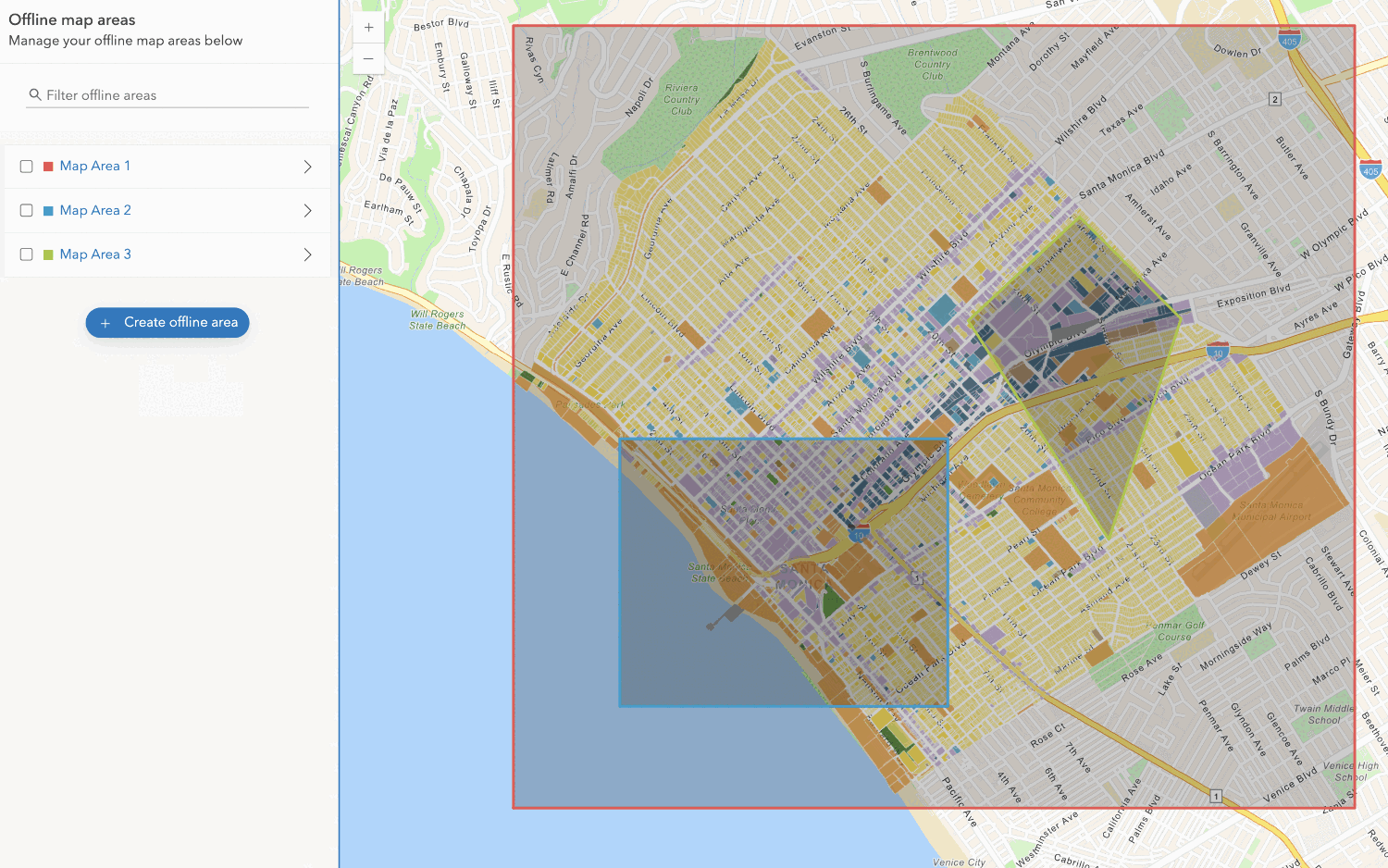
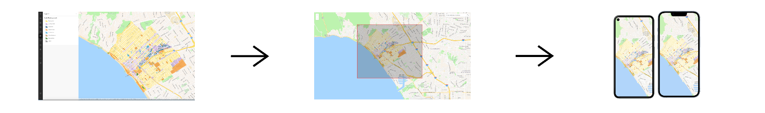
Create an offline map area
Use your portal to create an offline map area from an offline-enabled web map.


Workflows
Create an app using a web map (ahead of time)
Learn how to build an offline app using an offline-enabled web map using the ahead-of-time method.

Create an app using a web map (on-demand)
Learn how to build an offline app using an offline-enabled web map using the on-demand method.

Create an app using a web map with layers (ahead of time)
Learn how to build an offline app using an offline-enabled web map and feature layer using the ahead-of-time method.
Create an app using a web map with layers (on-demand)
Learn how to build an offline app using an offline-enabled web map and feature layer using the on-demand method.

Create an app using a mobile map package
Learn how to build an offline app using a mobile map package created with ArcGIS Pro.
