Display the map at an initial viewpoint representing a bounding geometry.
Use case
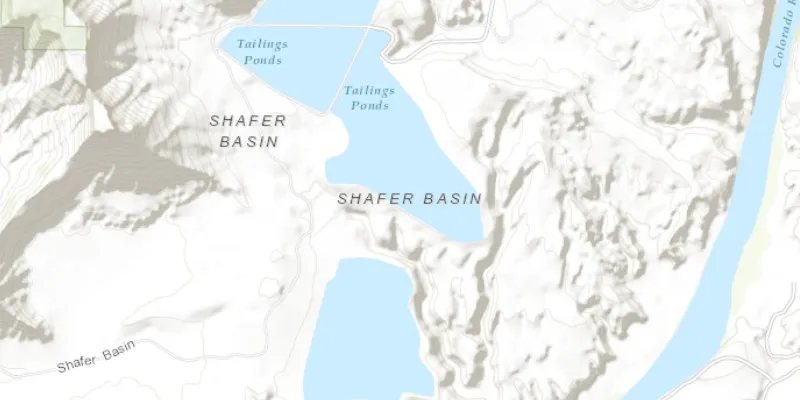
Setting the initial viewpoint is useful when a user wishes to first load the map at a particular area of interest.
How to use the sample
As the application is loading, the initial view point is set and the map view opens at the given location.
How it works
- Create an
ArcGISMap. - Create a
Viewpointusing anEnvelope. - Set the starting location of the map with
setInitialViewpoint(Viewpoint). - Set the map to a
MapView.
Relevant API
- ArcGISMap
- Envelope
- MapView
- Point
- Viewpoint
Tags
initial viewpoint, extent, zoom, envelope
Sample code
MapInitialExtentSample.java
/* * Copyright 2017 Esri. * * Licensed under the Apache License, Version 2.0 (the "License"); you may not * use this file except in compliance with the License. You may obtain a copy of * the License at * * http://www.apache.org/licenses/LICENSE-2.0 * * Unless required by applicable law or agreed to in writing, software * distributed under the License is distributed on an "AS IS" BASIS, WITHOUT * WARRANTIES OR CONDITIONS OF ANY KIND, either express or implied. See the * License for the specific language governing permissions and limitations under * the License. */
package com.esri.samples.map_initial_extent;
import javafx.application.Application;import javafx.scene.Scene;import javafx.scene.layout.StackPane;import javafx.stage.Stage;
import com.esri.arcgisruntime.ArcGISRuntimeEnvironment;import com.esri.arcgisruntime.geometry.Envelope;import com.esri.arcgisruntime.geometry.Point;import com.esri.arcgisruntime.geometry.SpatialReferences;import com.esri.arcgisruntime.mapping.ArcGISMap;import com.esri.arcgisruntime.mapping.BasemapStyle;import com.esri.arcgisruntime.mapping.Viewpoint;import com.esri.arcgisruntime.mapping.view.MapView;
public class MapInitialExtentSample extends Application {
  private MapView mapView;
  @Override  public void start(Stage stage) {
    try {      // create stack pane and application scene      StackPane stackPane = new StackPane();      Scene scene = new Scene(stackPane);
      // set title, size, and add scene to stage      stage.setTitle("Map Initial Extent Sample");      stage.setWidth(800);      stage.setHeight(700);      stage.setScene(scene);      stage.show();
      // authentication with an API key or named user is required to access basemaps and other location services      String yourAPIKey = System.getProperty("apiKey");      ArcGISRuntimeEnvironment.setApiKey(yourAPIKey);
      // create a map with the topographic basemap style      final ArcGISMap map = new ArcGISMap(BasemapStyle.ARCGIS_TOPOGRAPHIC);
      // create an initial extent envelope      Point leftPoint = new Point(-12211308.778729, 4645116.003309, SpatialReferences.getWebMercator());      Point rightPoint = new Point(-12208257.879667, 4650542.535773, SpatialReferences.getWebMercator());      Envelope initialExtent = new Envelope(leftPoint, rightPoint);
      // create a viewpoint from envelope      Viewpoint viewPoint = new Viewpoint(initialExtent);
      // set an initial extent on the map      map.setInitialViewpoint(viewPoint);
      // create a map view and set the map to it      mapView = new MapView();      mapView.setMap(map);
      // add the map view to stack pane      stackPane.getChildren().add(mapView);    } catch (Exception e) {      // on any error, display the stack trace.      e.printStackTrace();    }  }
  /**   * Stops and releases all resources used in application.   */  @Override  public void stop() {
    if (mapView != null) {      mapView.dispose();    }  }
  /**   * Opens and runs application.   *   * @param args arguments passed to this application   */  public static void main(String[] args) {
    Application.launch(args);  }
}