To start using feature services, you create the services dynamically with data management tools or scripting APIs. You can import existing datasets (files), define a new dataset, or create (publish) new services from existing services. Each dataset is stored as a feature layer, table, or feature layer view within a feature service. A hosted feature layer (item) is also created for the corresponding service so you can manage and configure the dataset and service settings. To access the service from applications and APIs, you can use the URL and ID assigned by the system. If you are using an ArcGIS Maps SDK, you can also access the service using the hosted layer's item ID.
The steps to create and use a feature service are:
- Create a feature layer, feature layer view, or table by importing data.
- Manage the hosted feature layer (item) and service properties. properties.
- Access the service to display or query features.

Tutorials
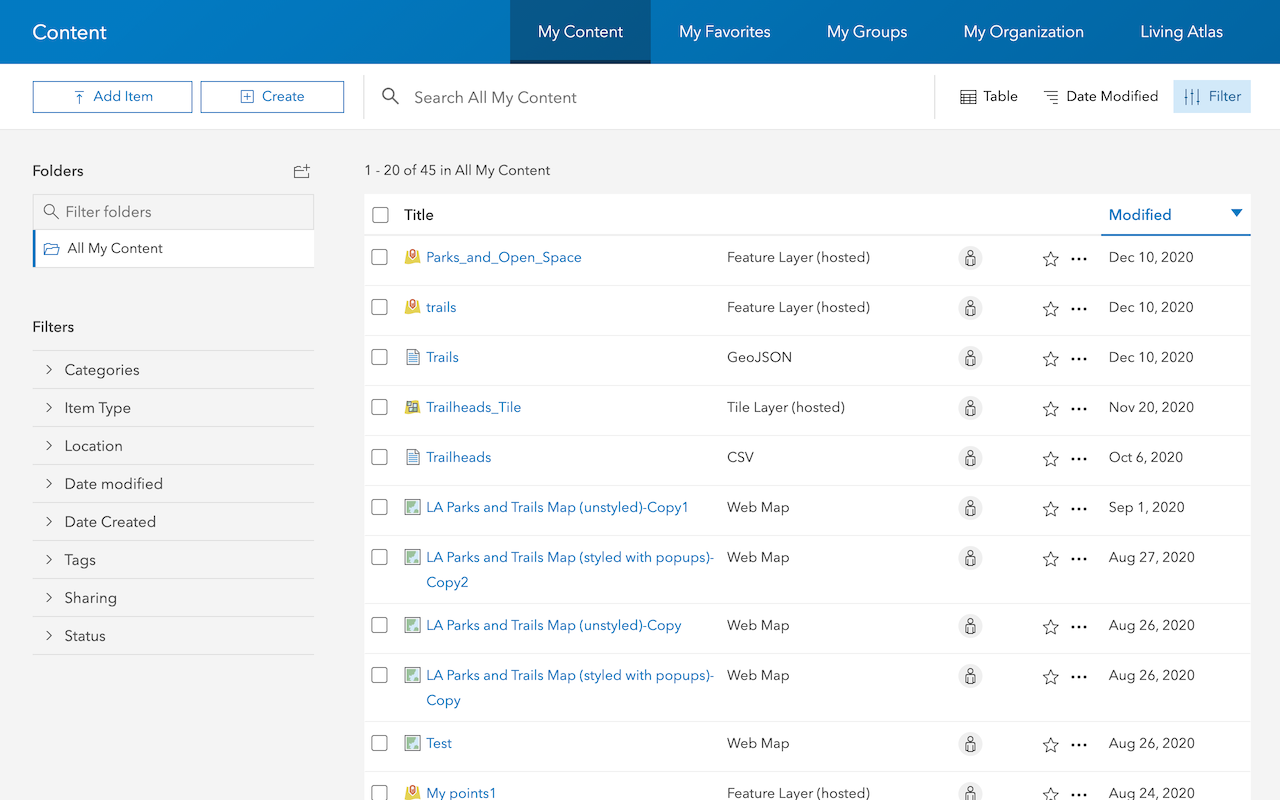
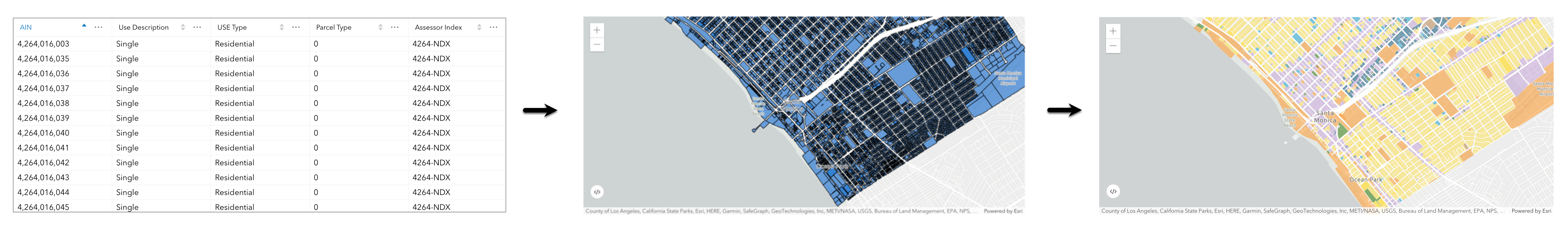
Import data to create a feature layer
Use data management tools to import files and create a feature layer in a feature service.
Define a new feature layer
Use data management tools to define and create a new empty feature layer in a feature service.
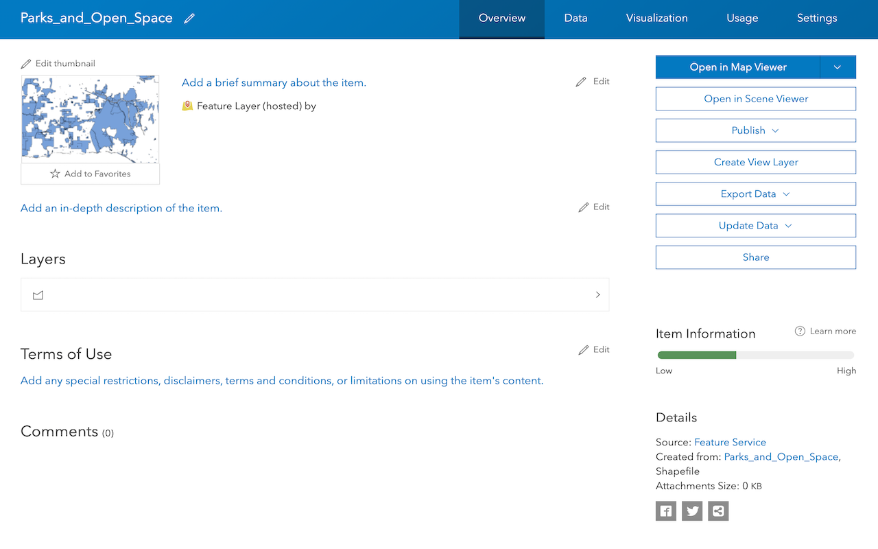
Manage a feature layer
Use a hosted feature layer item to set the properties and settings of a feature layer in a feature service.
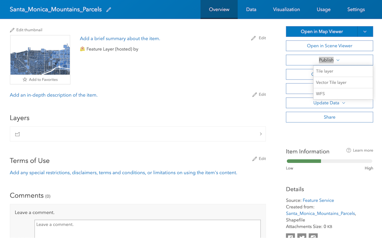
Create a vector tile service
Use data management tools to create a new vector tile service from a feature service.
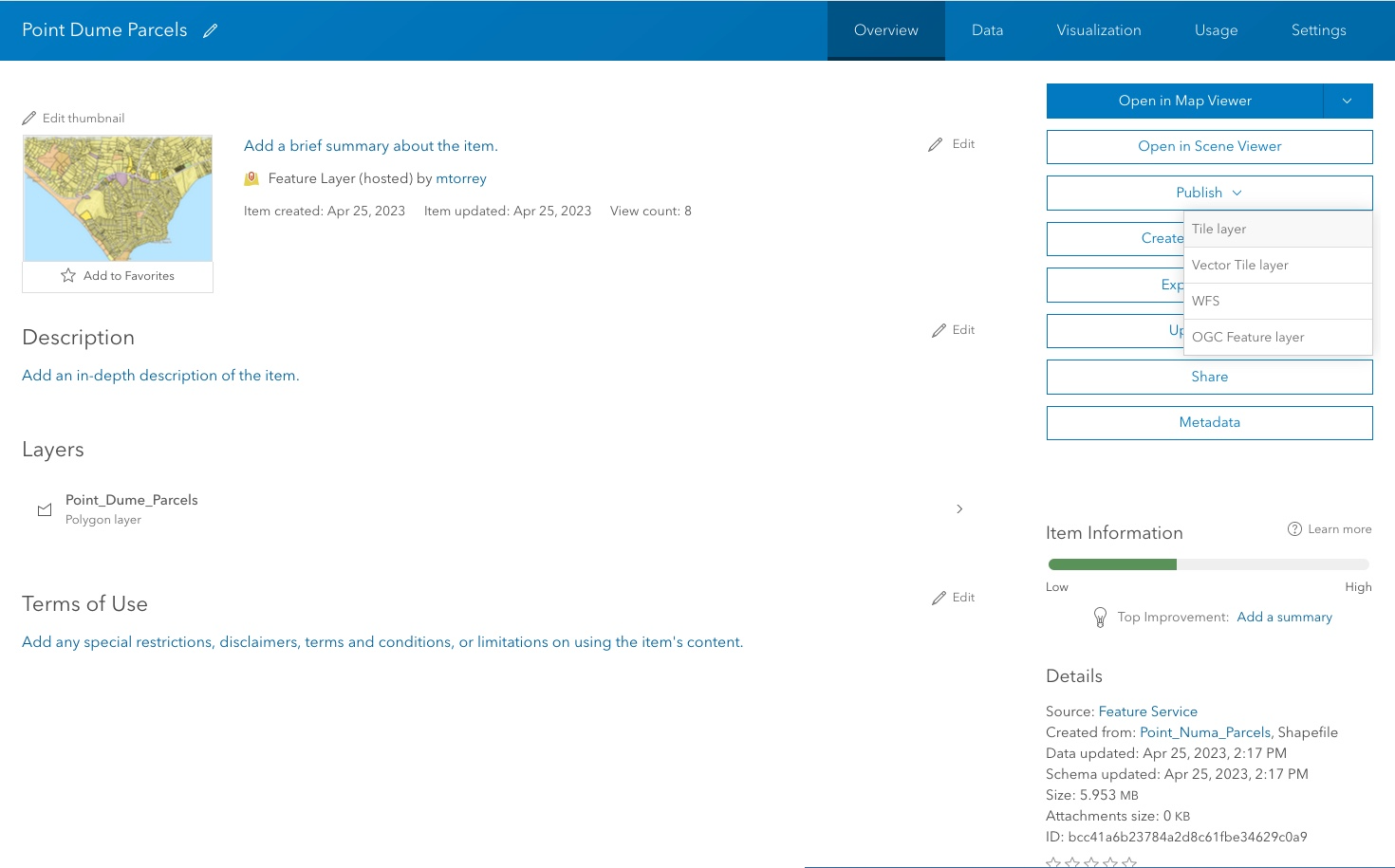
Create a map tile service
Use ArcGIS Online or scripting APIs to publish a map tile service.
Add a feature layer
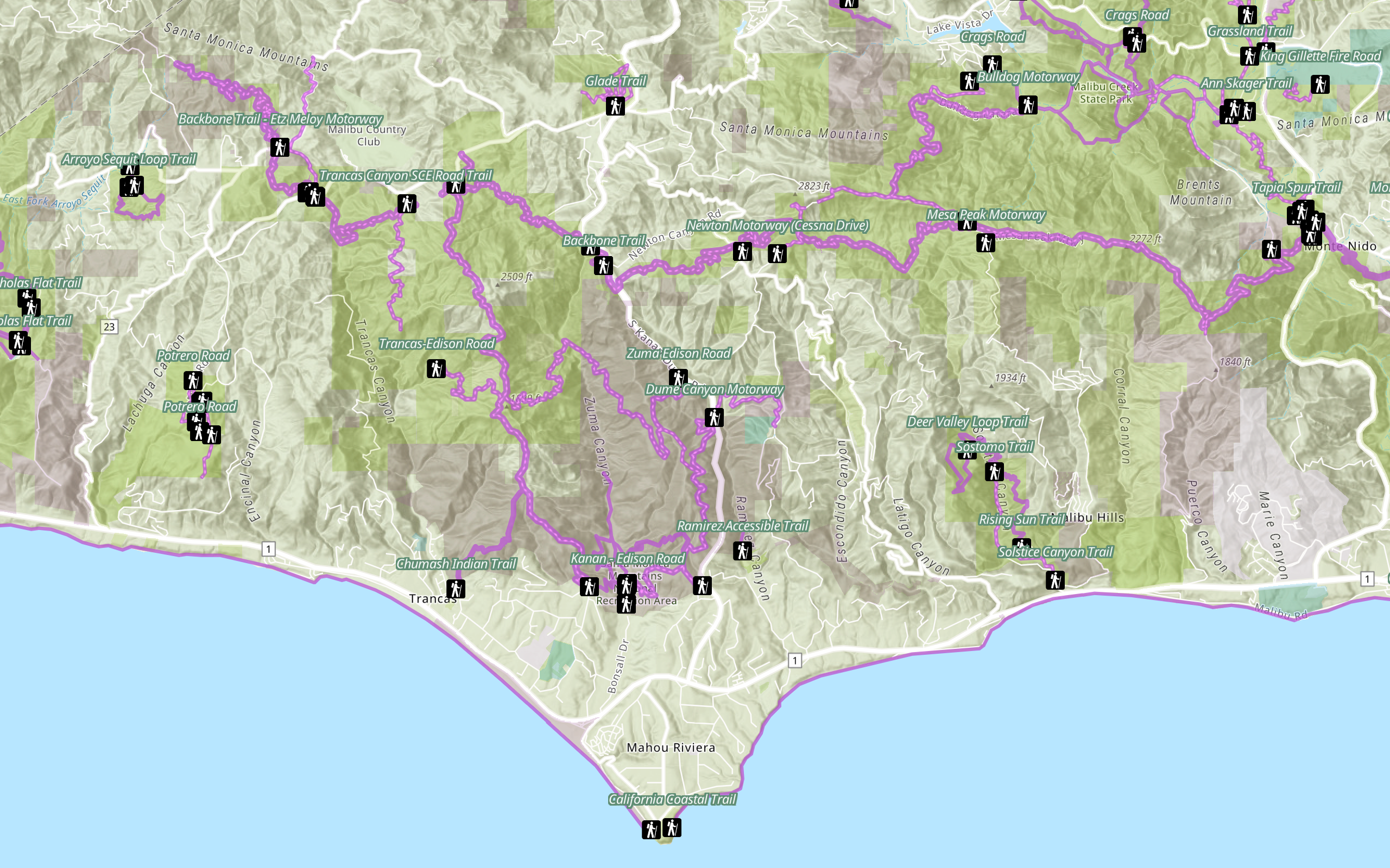
Access and display point, line, and polygon features from a feature service.
Add a vector tile layer
Access and display a vector tile layer in a map.
Add a map tile layer
Access and display a map tile layer in a map.
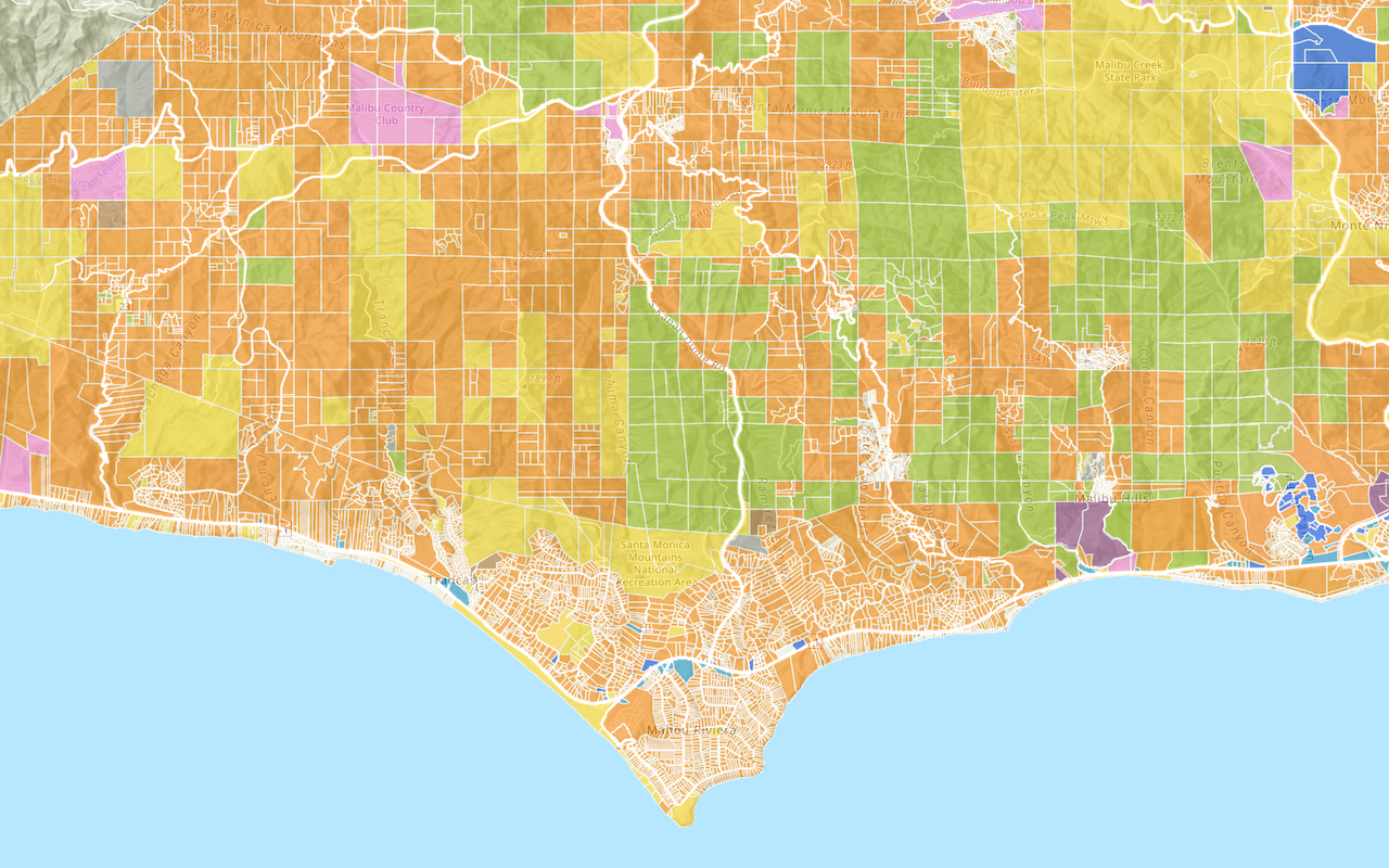
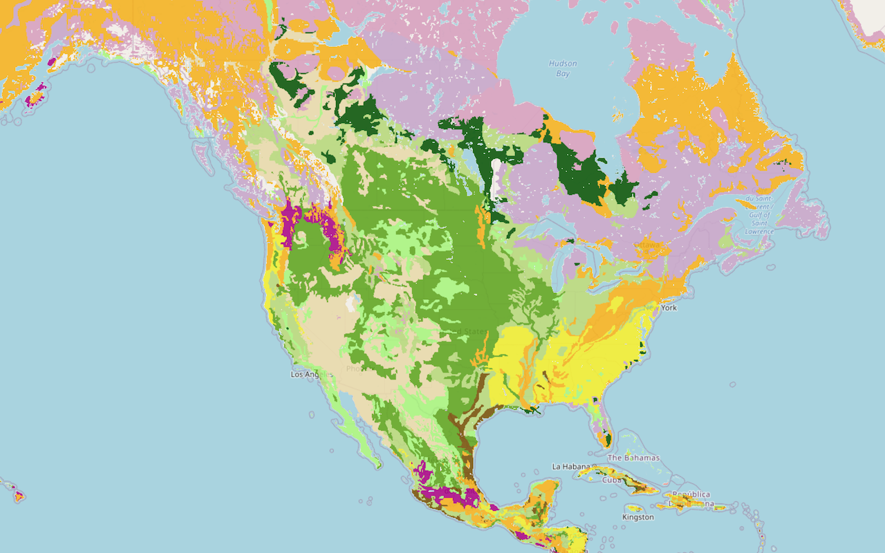
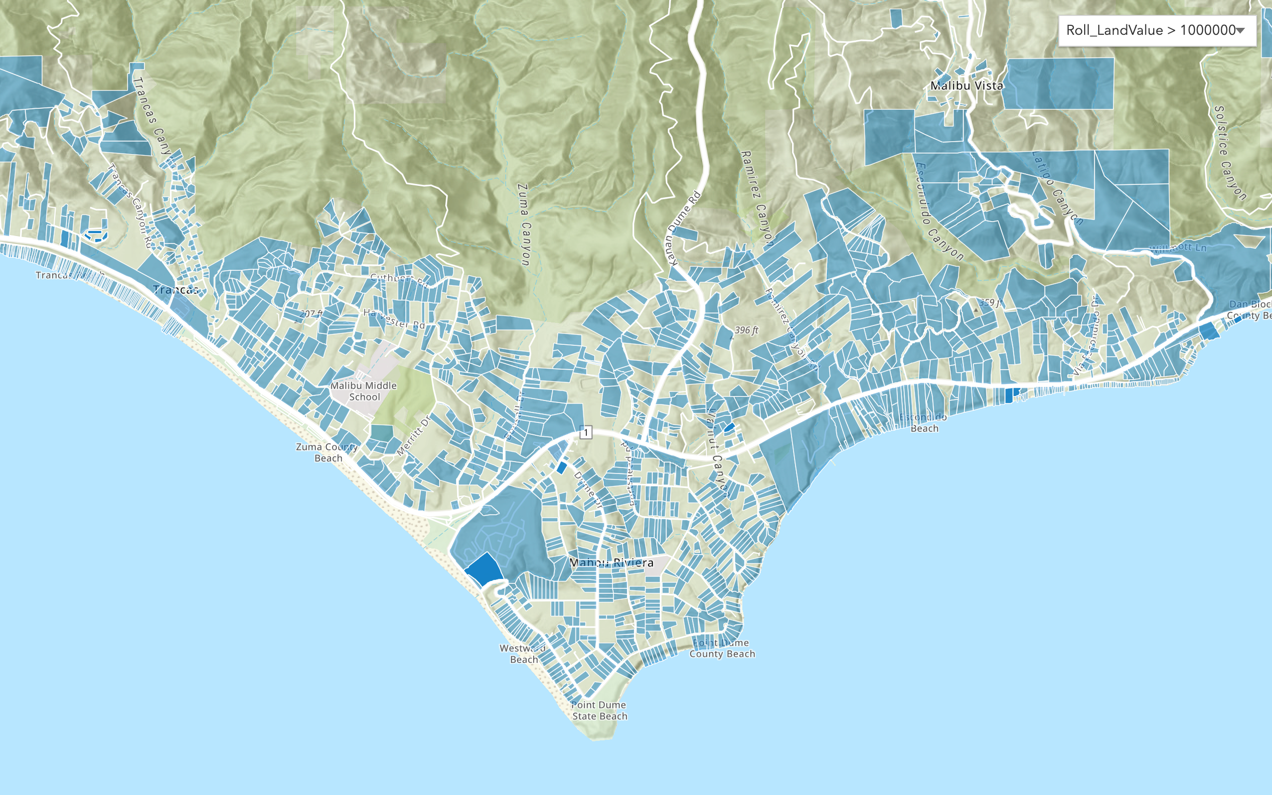
Style a feature layer
Use symbols and renderers to style feature layers.
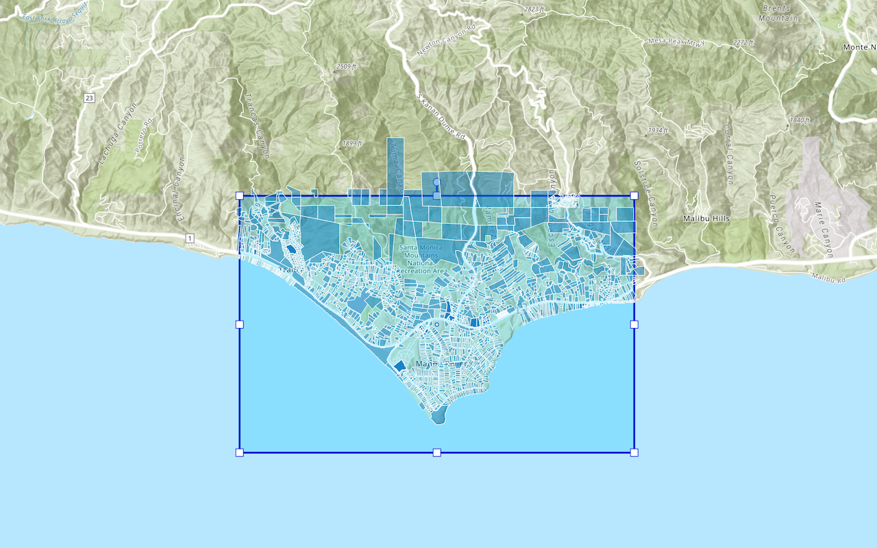
Query a feature layer (spatial)
Execute a spatial query to get features from a feature layer.
Query a feature layer (SQL)
Execute a SQL query to access polygon features from a feature layer.
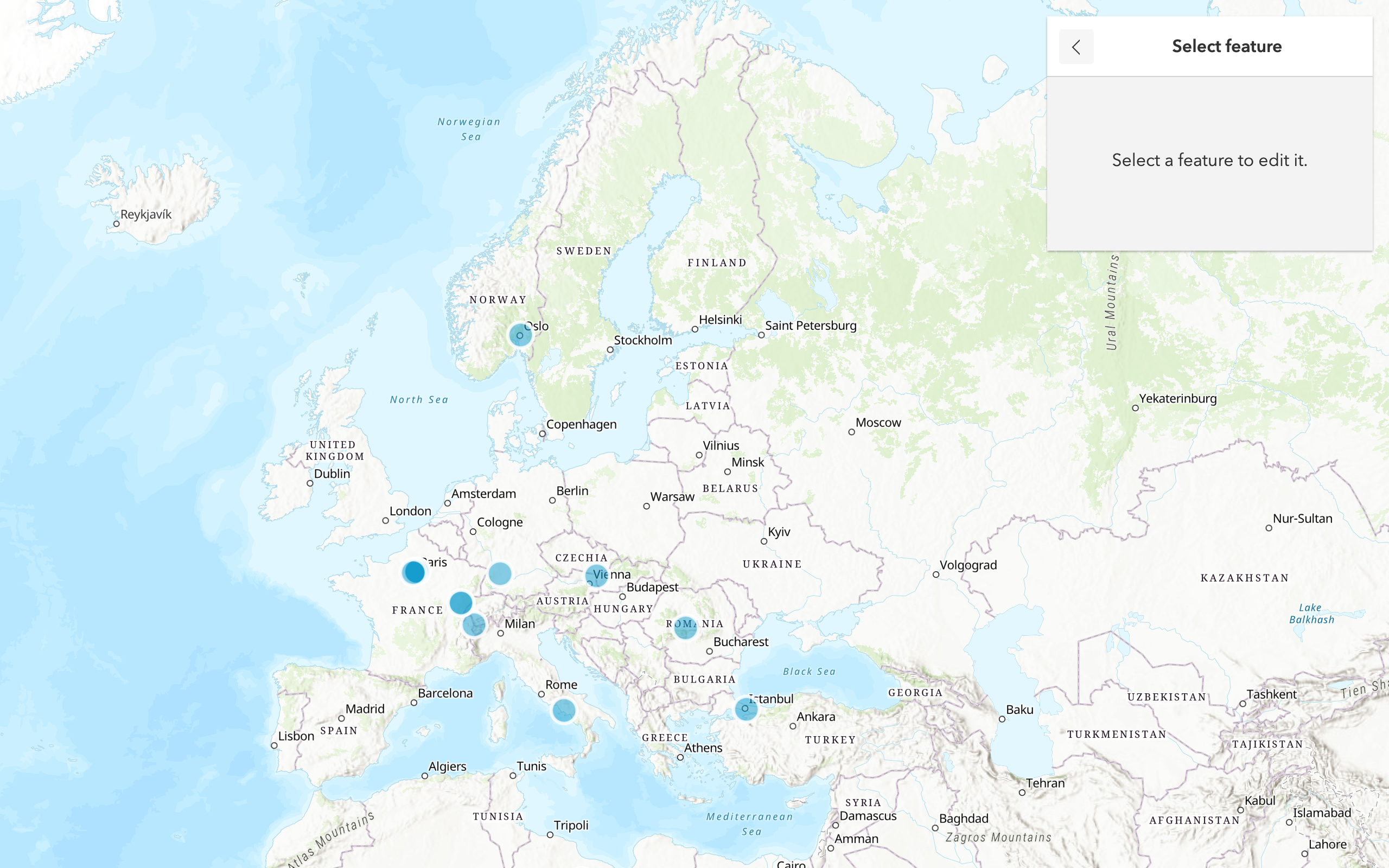
Edit feature data
Add, update, and delete features in a feature service.
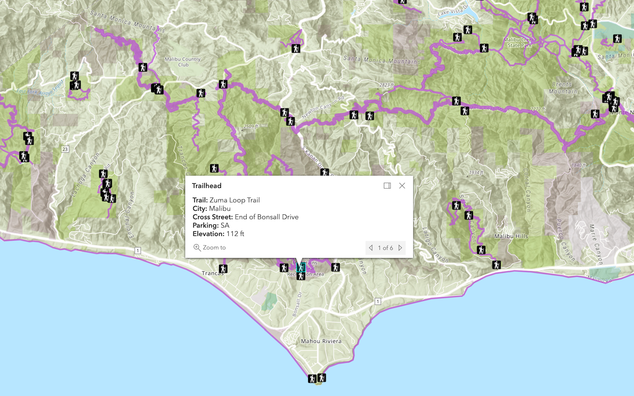
Display a popup
Format a popup to show attributes in a feature layer.
Workflows
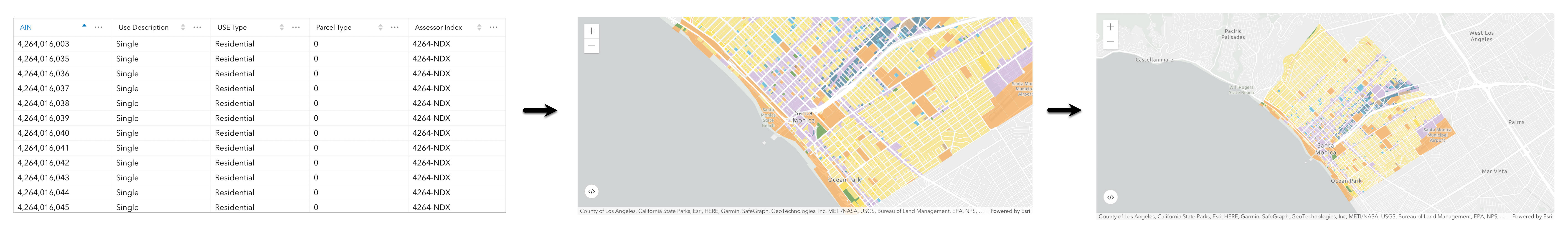
Create a feature service for an app
Learn how to import parcel data, create and style a feature layer, and then access the features in an app.
Create a feature layer view for an editor app
Learn how to import parcel data, create and style a feature layer view, and then access the features in an editing app.
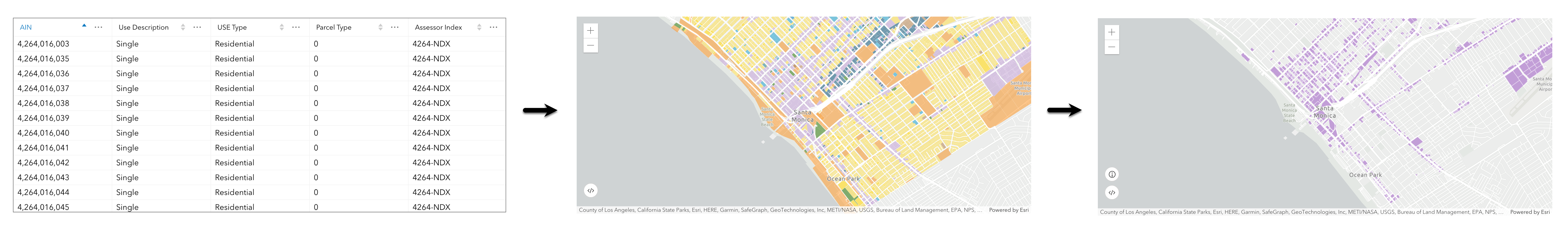
Create a vector tile service for an app
Learn how to import parcel data, style a feature layer, and then create a vector tile service for an app.
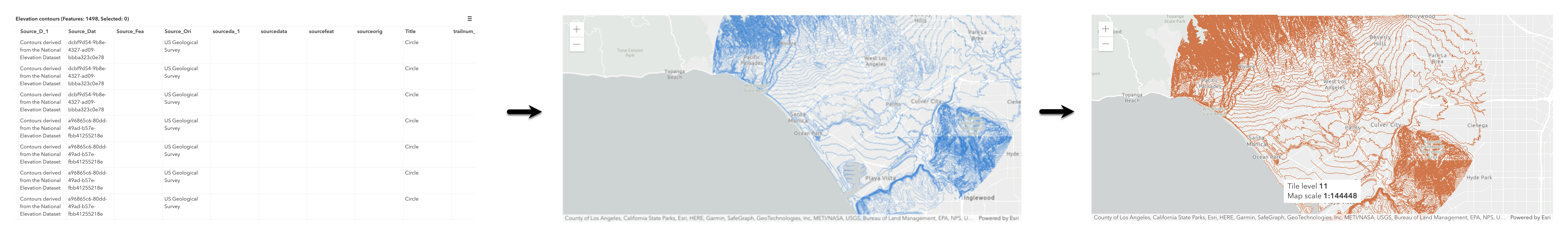
Create a map tile service for an app
Learn how to import contour data, style a feature layer, and create a map tile service for an app.
Services
Feature service
Add, update, delete, and query feature data.
Vector tile service
Store and access vector tile data.
Map tile service
Store and access map tile data.
API support
Use Client APIs to create, manage, and access data services. The table below outlines the level of support for each API.
- 1. Use portal class and direct REST API requests
- 2. Access via ArcGIS REST JS
- 3. Requires manually setting styles for renderers