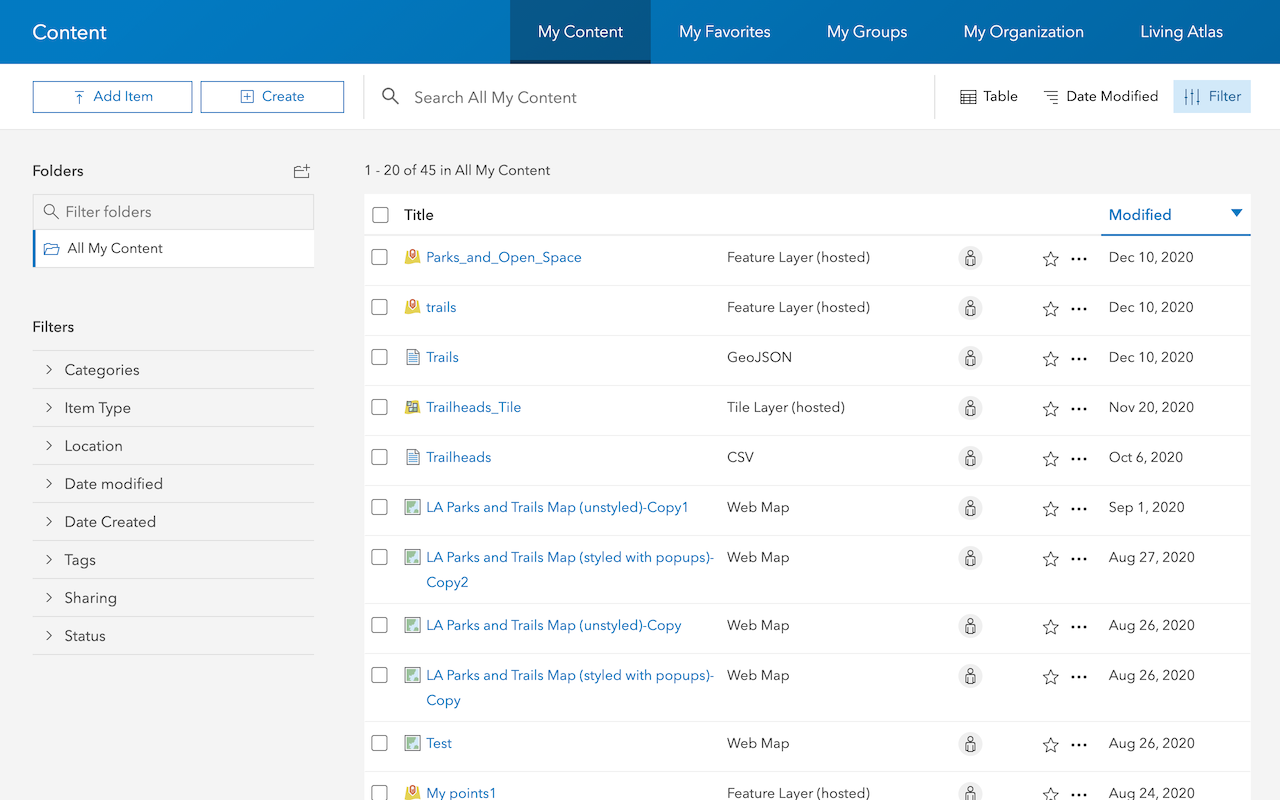
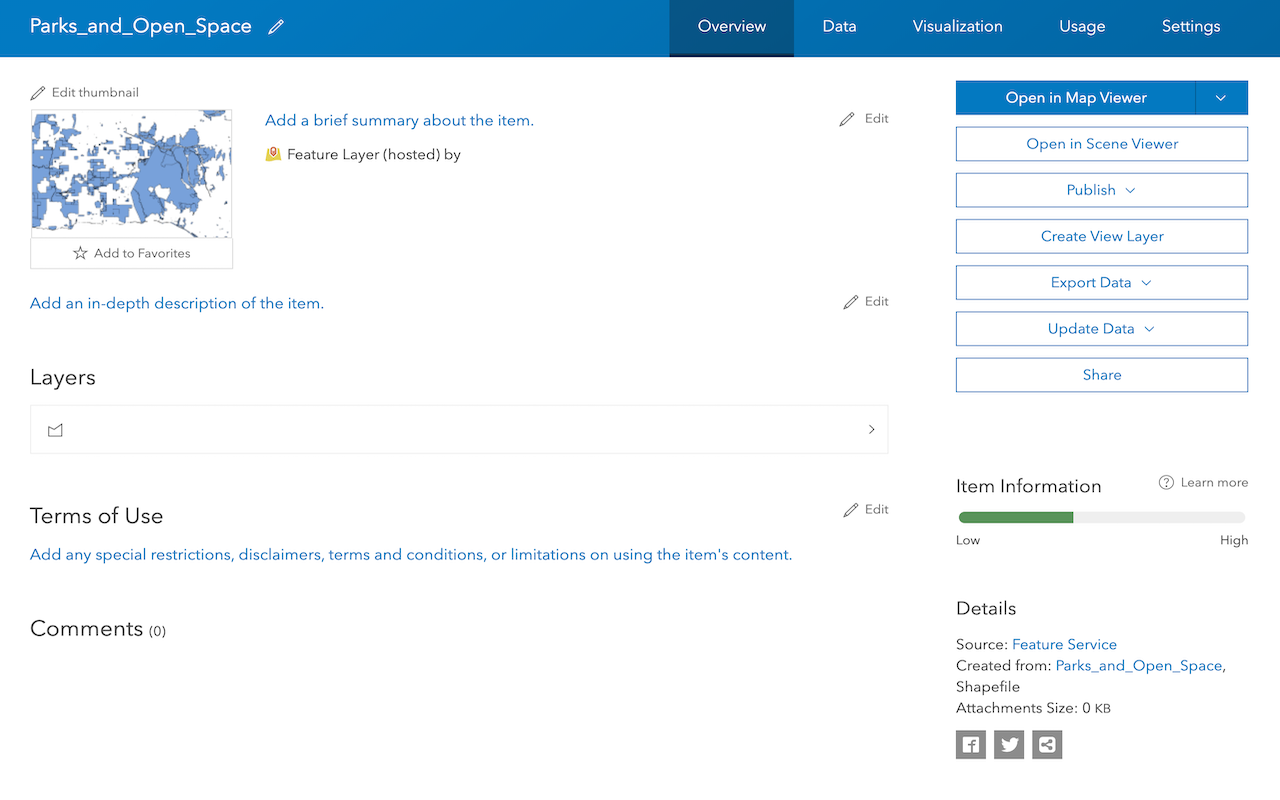
To create a feature layer in a feature service for your data, you can upload a file into ArcGIS. To do so, you use data management tools to import your data. You can upload different file types such as CSV, XLS, GeoJSON, Shapefile, and File Geodatabase files. Each file or spreadsheet you import becomes a feature layer in a feature service. After it is imported, you can manage the service settings with a hosted feature layer (item) in your portal.
Use this approach when you want to:
- Import existing file or spreadsheet datasets into ArcGIS
- Dynamically create feature layers and services for your datasets
- Store points, polylines, and polygon in a feature layer
- Store string and numeric data in fields
- Store attachments with features
- Store and access features in different formats (JSON, GeoJSON, or PBF)
How to import data
The general steps to import data are:
-
Log in to a data management tool with your ArcGIS account:
- ArcGIS.com (ArcGIS Platform or ArcGIS Online)
- ArcGIS Enterprise portal (ArcGIS Enterprise)
-
Use the tool to import your files or spreadsheets. This creates the following:
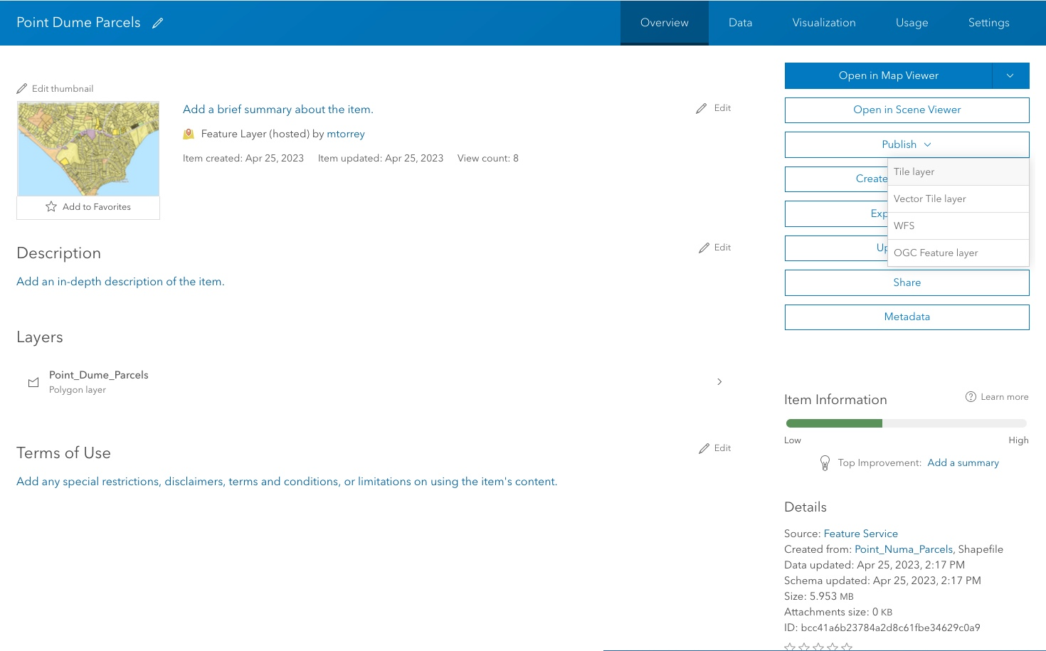
- Hosted feature layer: A new item in your portal to manage the item properties and service settings.
- Feature layer and feature service: A new feature layer in a feature service for the data.
The type of feature layer created depends on the data fields in the import files.

Types of datasets
When you import data, the type of dataset created in a feature service depends on the format of the incoming data. There are three scenarios:
- If the data contains fields with location or geometry information such as x/y or latitude/longitude, the data will be used to create a feature layer.
- If the data contains fields with address information, the data will be geocoded to create a feature layer.
- If no location or address information is present, then a table will be created.
Field matching
When you use a
| Type | Use | Sample |
|---|---|---|
| Date | Date and time | 09/20/2023 |
| Double | Numbers with decimal places | 1.23 |
| Integer | Whole numbers from -2,147,483,648 to 2,147,483,647 (long integer) | 9,999 |
| String | Any sequence of characters | "ABC123" |
Below is an example of the Field matching user interface:

Tools, data, and services
Below is a summary of some of data management tools and file types you can import to create feature layers and tables in a feature service.
| Data management tools | Input file type | Input data format | Output item | Output layer | Output data service |
|---|---|---|---|---|---|
| ArcGIS.com ArcGIS Enterprise portal | CSV or XLS(X) file Google sheets | *Coordinate fields e.g. x, y, latitude, longitude Address fields Attribute fields | Feature layer (hosted) | Feature layer | Feature service |
| ArcGIS.com ArcGIS Enterprise portal | CSV or XLS(X) file Google sheets | Attribute fields | Table (hosted) | Table | Feature Service |
| ArcGIS.com ArcGIS Enterprise portal | **GeoJSON file | Geometry (points, lines, and polygons) Attributes | Feature layer (hosted) | Feature layer | Feature service |
| ArcGIS.com ArcGIS Enterprise portal | Shapefile (zipped) | Geometry (points, lines, or polygons) Attributes | Feature layer (hosted) | Feature layer | Feature service |
| ArcGIS.com ArcGIS Enterprise portal | File Geodatabase (zipped)* | Geometry (points, lines, or polygons) and attributes | Feature layer (hosted) Table (hosted) | Feature layer | Feature service |
| ArcGIS.com ArcGIS Enterprise portal | OGC GeoPackage | Geometry (points, lines, or polygons) and attributes | Feature layer (hosted) Table (hosted) | Feature layer Table | Feature service |
| ArcGIS.com ArcGIS Enterprise portal | Compressed (.zip file) with Photos | JPEG image files with GPS information | Feature layer (hosted) | Feature layer | Feature service |
*If the source file contains coordinate, geometry, or address fields, a feature layer is created. If the source file does not contain coordinate information, a table is created.
**If a file contains multiple geometry types, a separate layer is created for each type. Feature layers support only one geometry type per layer.
Tutorials
Import data to create a feature layer
Use data management tools to import files and create a feature layer in a feature service.
Define a new feature layer
Use data management tools to define and create a new empty feature layer in a feature service.
Manage a feature layer
Use a hosted feature layer item to set the properties and settings of a feature layer in a feature service.
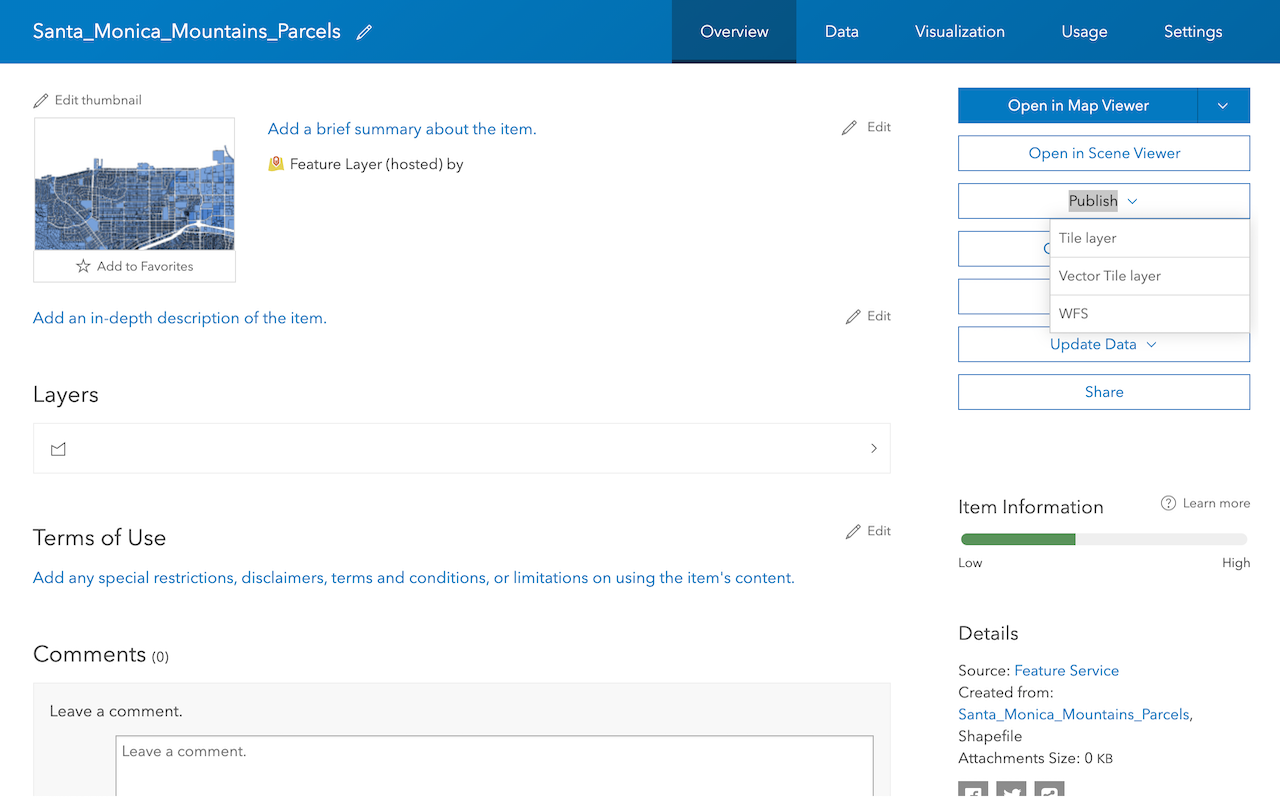
Create a vector tile service
Use data management tools to create a new vector tile service from a feature service.
Create a map tile service
Use ArcGIS Online or scripting APIs to publish a map tile service.
Workflows
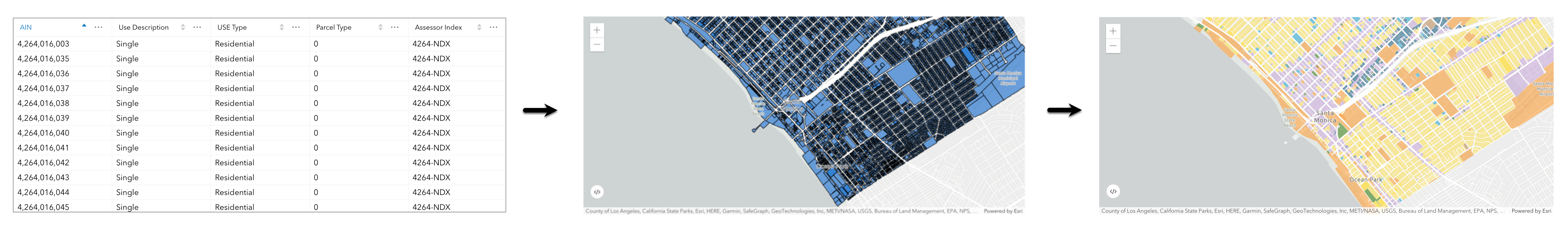
Create a feature service for an app
Learn how to import parcel data, create and style a feature layer, and then access the features in an app.
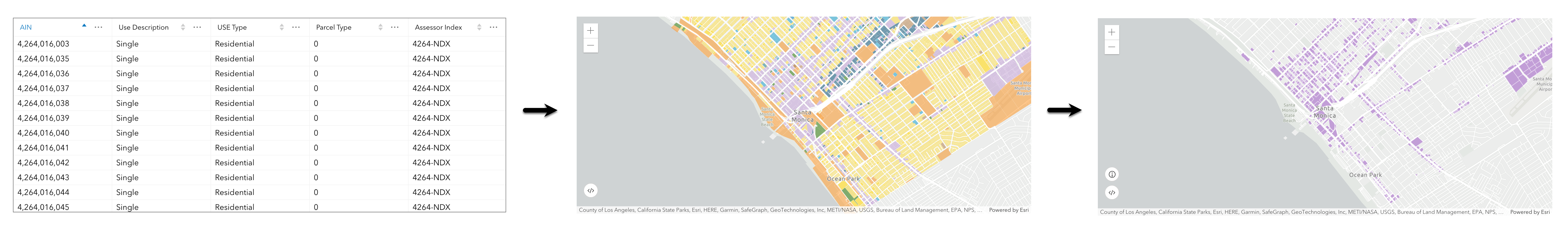
Create a feature layer view for an editor app
Learn how to import parcel data, create and style a feature layer view, and then access the features in an editing app.
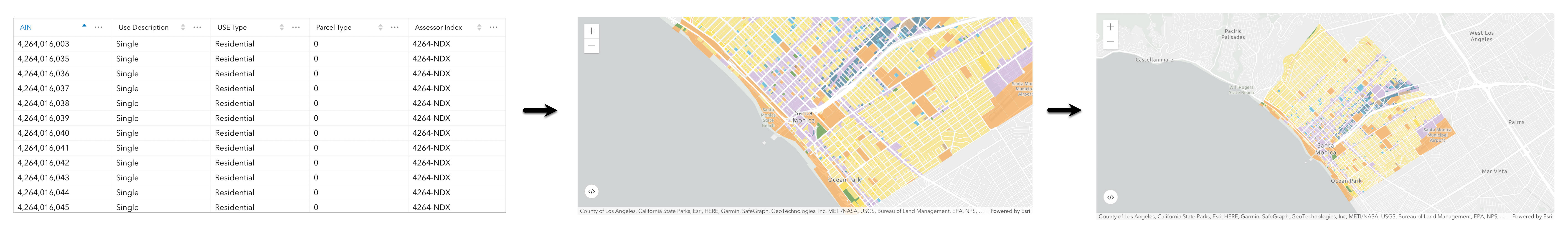
Create a vector tile service for an app
Learn how to import parcel data, style a feature layer, and then create a vector tile service for an app.
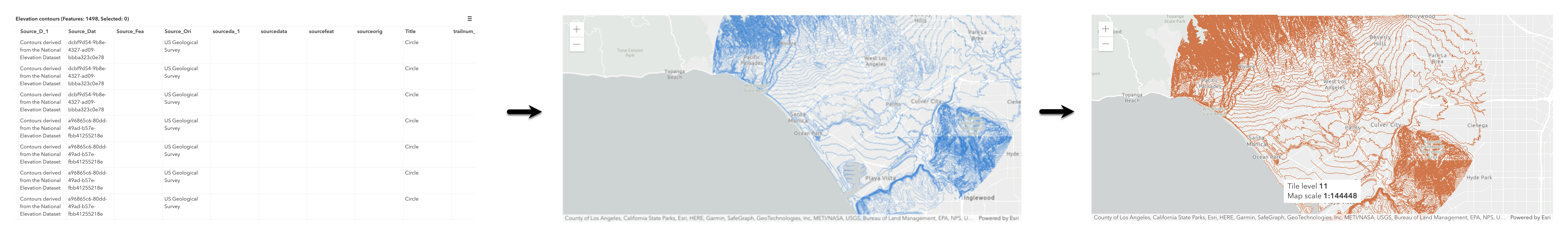
Create a map tile service for an app
Learn how to import contour data, style a feature layer, and create a map tile service for an app.
Services
Feature service
Add, update, delete, and query feature data.
Vector tile service
Store and access vector tile data.
Map tile service
Store and access map tile data.
API support
Use Client APIs to create, manage, and access data services. The table below outlines the level of support for each API.
- 1. Use portal class and direct REST API requests
- 2. Access via ArcGIS REST JS
- 3. Requires manually setting styles for renderers