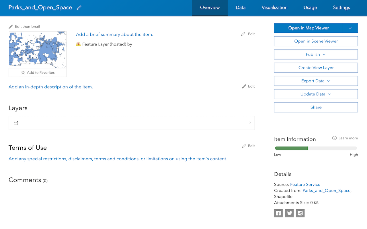
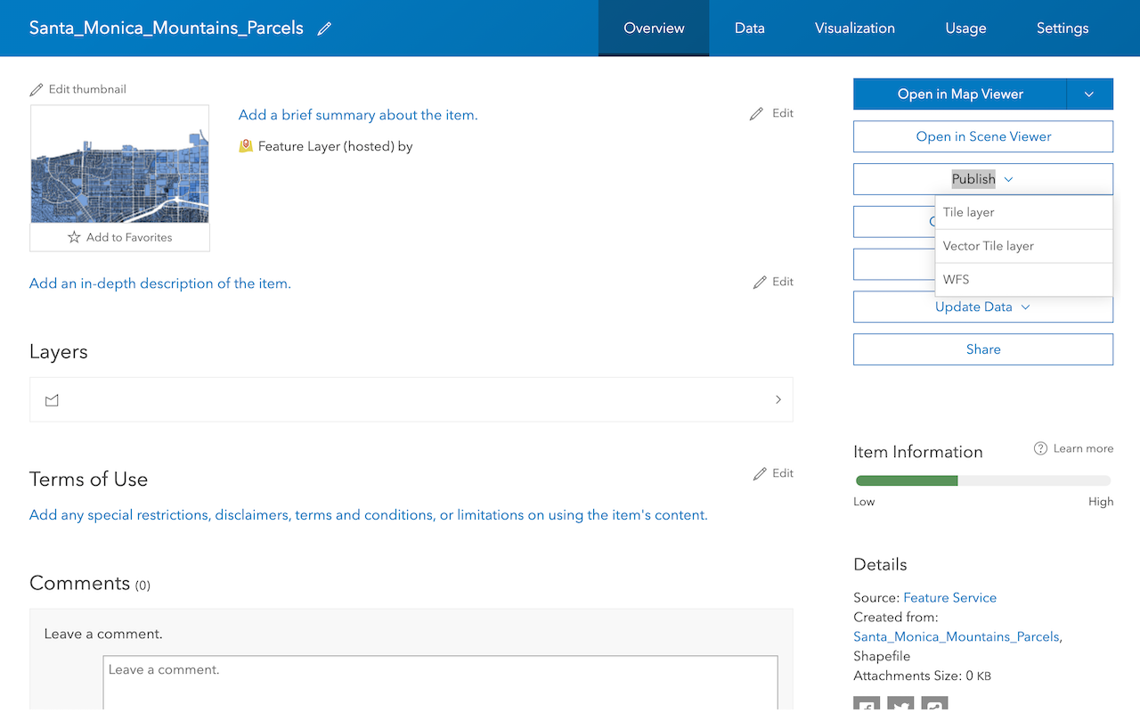
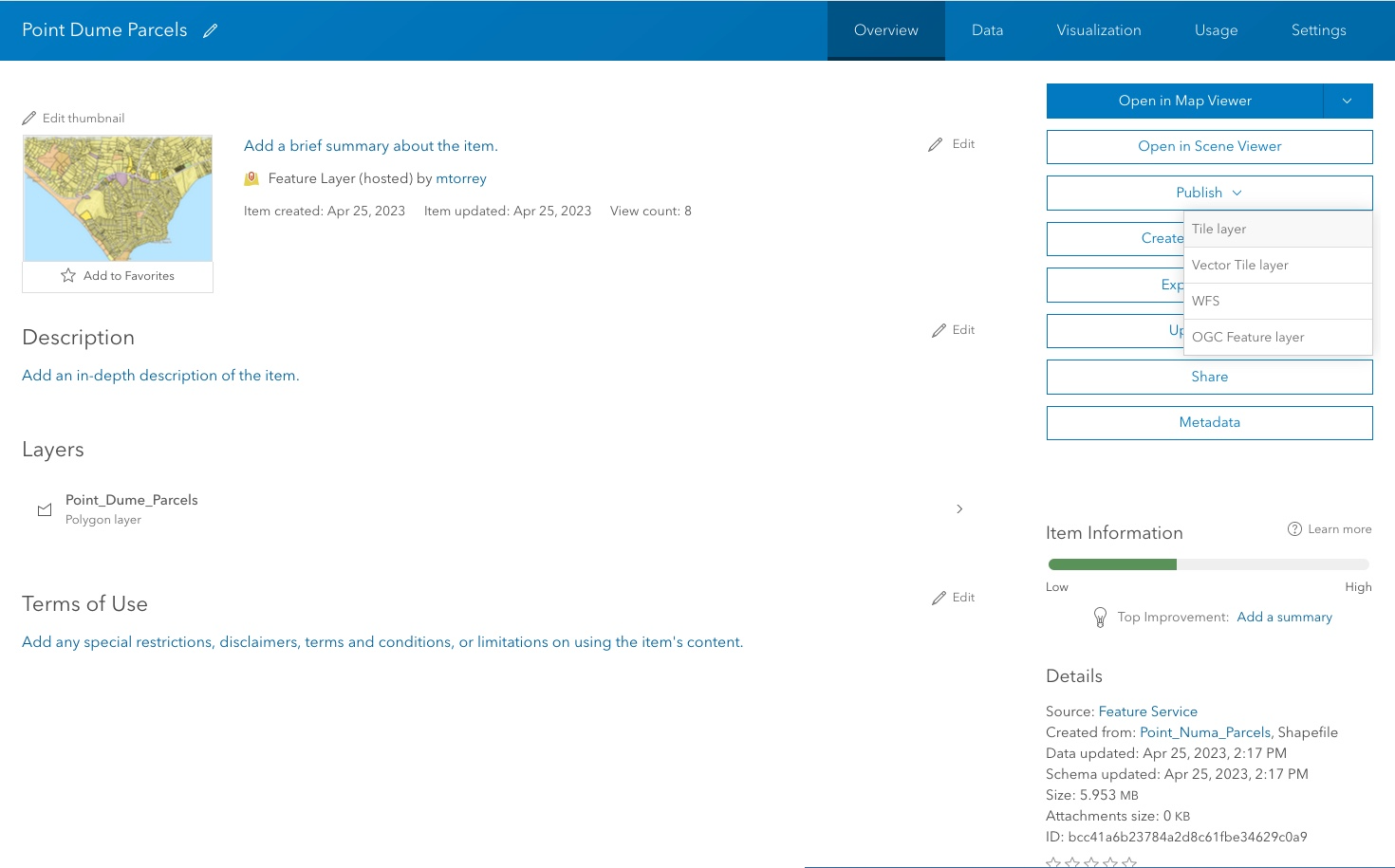
1. Create a service
To create a data service, you use a data management tool to publish a new service. The most common workflow is to import data from external data sources to create new feature layers in a feature service. Once a feature layer (and feature service) is created, you can publish additional types of services such as vector tile services and map tile services. For each service published, a hosted layer (item) is also created so you can access and manage the service and the layers within it. The diagram below illustrates the workflow.

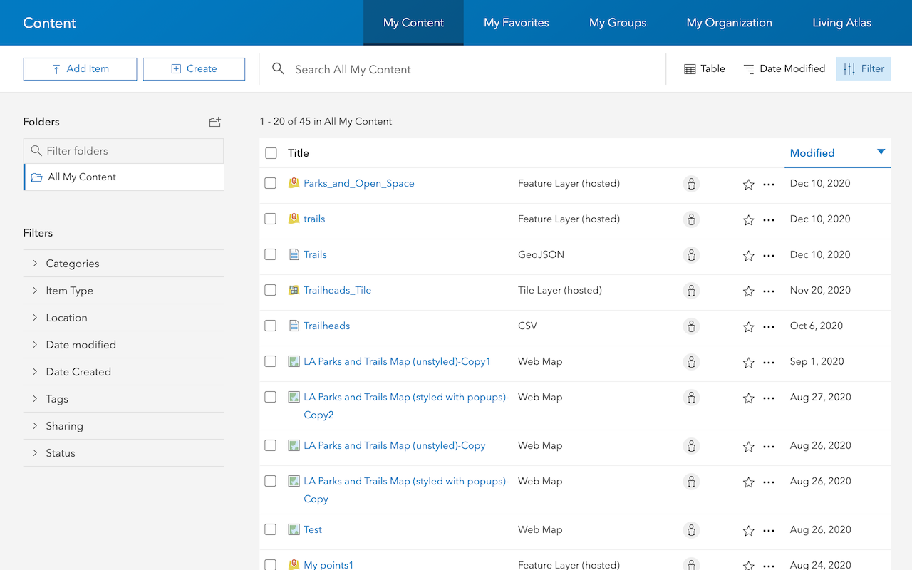
2. Manage a service
To manage a data service, you use a data management tool to access a service's hosted layer (item). The tool you use depends on the type of ArcGIS product and account you have, and the type of management operation you would like to perform. You can update hosted layer (item) properties such as the item name and description, data service capabilities, and sharing and security settings. You can also perform other administration operations such as setting the data cache timeouts, uploading and replacing data, and exporting data. The diagram below illustrates the workflow.

3. Access a service
After you create and manage a data service, you access the underlying data with an HTTP request to the service. The structure of the request is defined by the ArcGIS REST API. The URL assigned to each service is unique and can be found in the hosted layer (item) or item page for the service. To access the service, you can use ArcGIS Maps SDKs, open source libraries, or scripting APIs. An access token is also required if the sharing level is not public.
The URLs below illustrate how to make requests to get data from different data services.
https://{host}/{organizationId}/arcgis/rest/services/{serviceName}/FeatureServer/{id}/query?{parameters}&token={access_token}https://{host}/{organizationId}/arcgis/rest/services/{serviceName}/VectorTileServer/tile/{z}/{y}/{x}.pbf?token={access_token}https://{host}/{organizationId}/arcgis/rest/services/{serviceName}/MapServer/tile/{z}/{y}/{x}?token={access_token}https://{host}/{organizationId}/arcgis/rest/services/{serviceName}/FeatureServer/{id}/query?{parameters}&token={access_token}https://{host}/{organizationId}/arcgis/rest/services/{serviceName}/VectorTileServer/tile/{z}/{y}/{x}.pbf?token={access_token}https://{host}/{organizationId}/arcgis/rest/services/{serviceName}/MapServer/tile/{z}/{y}/{x}?token={access_token}https://{host}/{webadaptor}/rest/services/Hosted/{serviceName}/FeatureServer/{id}/query?{parameters}&token={access_token}https://{host}/{webadaptor}/rest/services/Hosted/{serviceName}/VectorTileServer/tile/{z}/{y}/{x}.pbf?token={access_token}https://{host}/{webadaptor}/rest/services/Hosted/{serviceName}/MapServer/tile/{z}/{y}/{x}?token={access_token}
Tutorials
Import data to create a feature layer
Use data management tools to import files and create a feature layer in a feature service.
Define a new feature layer
Use data management tools to define and create a new empty feature layer in a feature service.
Manage a feature layer
Use a hosted feature layer item to set the properties and settings of a feature layer in a feature service.
Create a vector tile service
Use data management tools to create a new vector tile service from a feature service.
Create a map tile service
Use ArcGIS Online or scripting APIs to publish a map tile service.
Add a feature layer
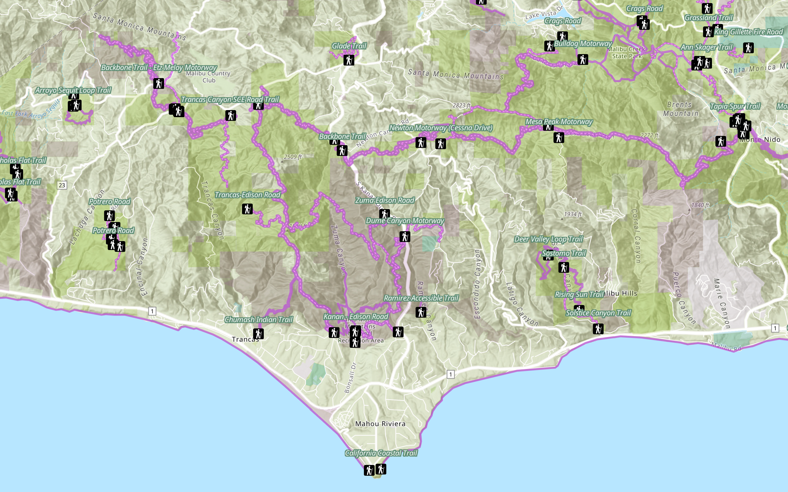
Access and display point, line, and polygon features from a feature service.
Add a vector tile layer
Access and display a vector tile layer in a map.
Add a map tile layer
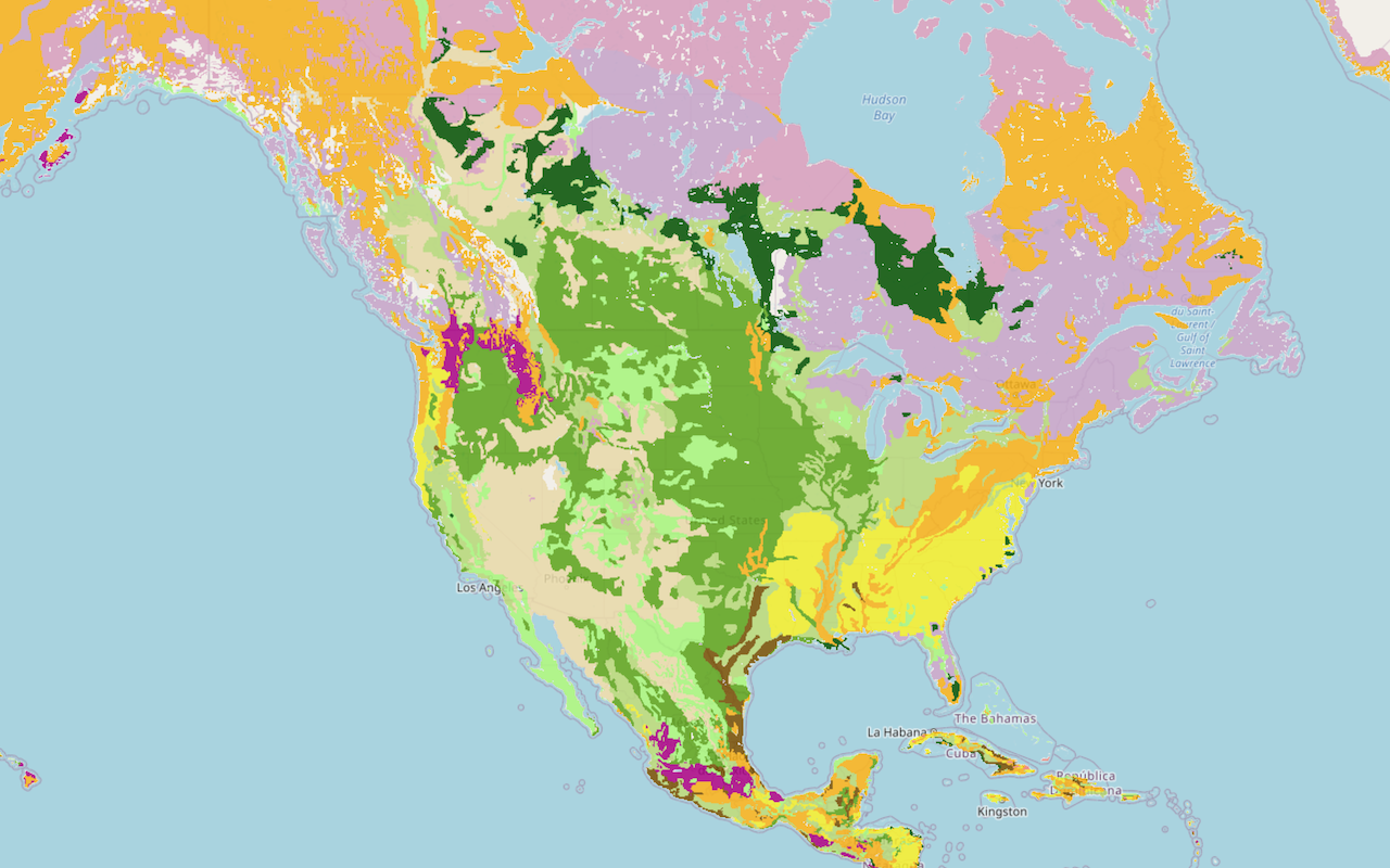
Access and display a map tile layer in a map.
Style a feature layer
Use symbols and renderers to style feature layers.
Query a feature layer (spatial)
Execute a spatial query to get features from a feature layer.
Query a feature layer (SQL)
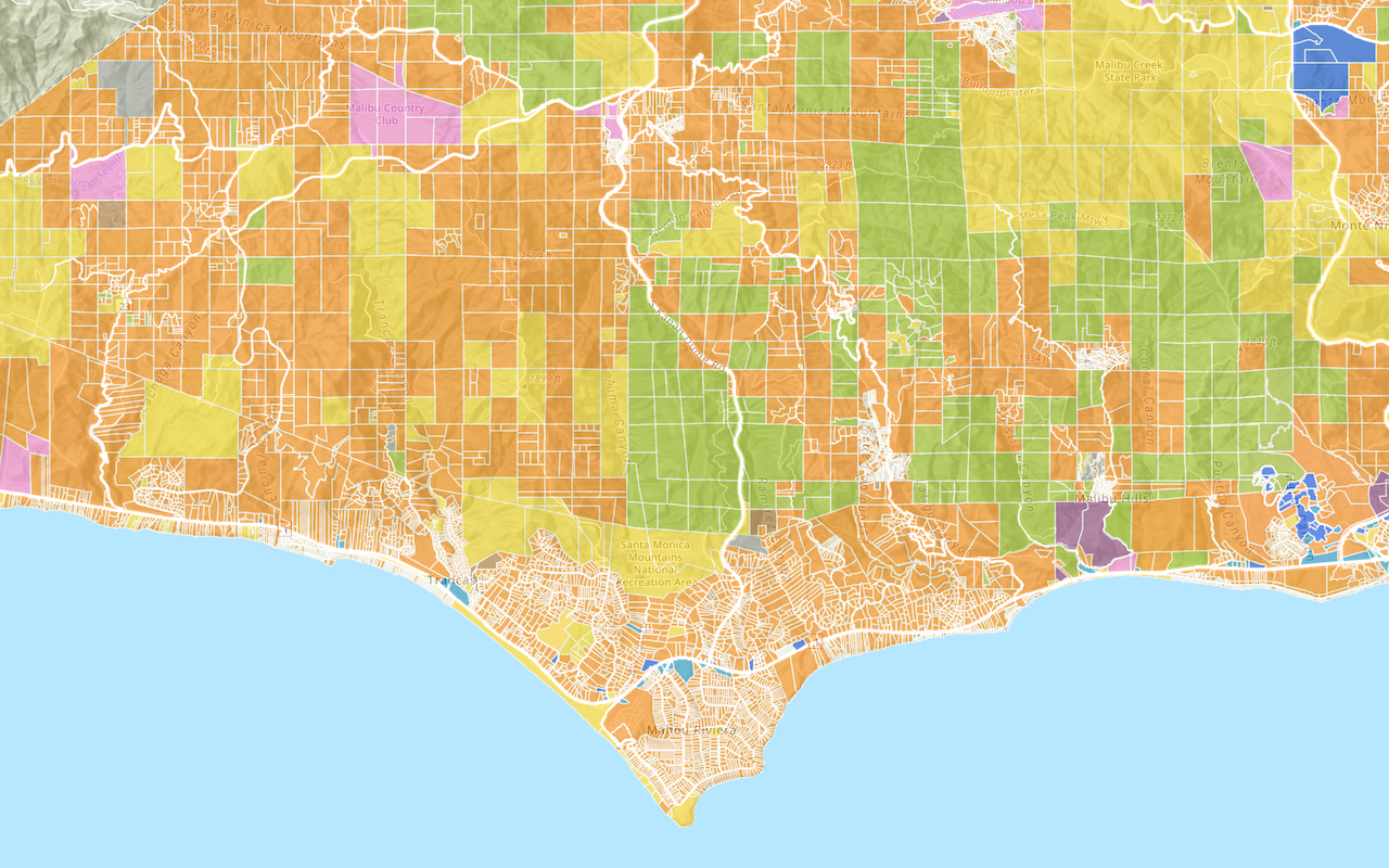
Execute a SQL query to access polygon features from a feature layer.
Edit feature data
Add, update, and delete features in a feature service.
Display a popup
Format a popup to show attributes in a feature layer.
Workflows
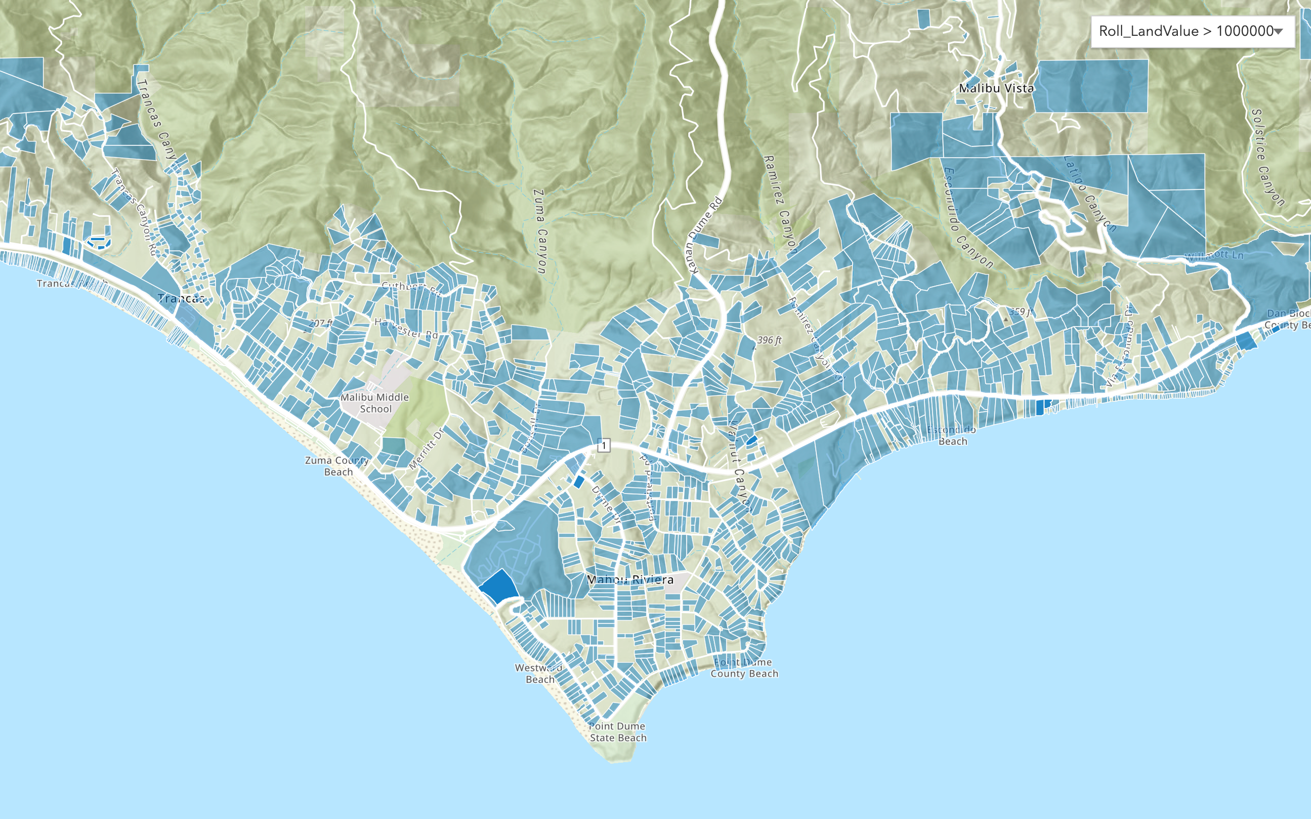
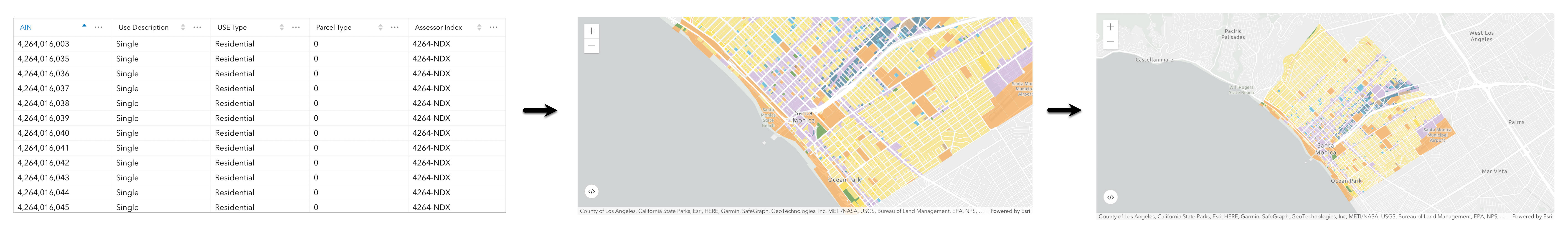
Create a feature service for an app
Learn how to import parcel data, create and style a feature layer, and then access the features in an app.
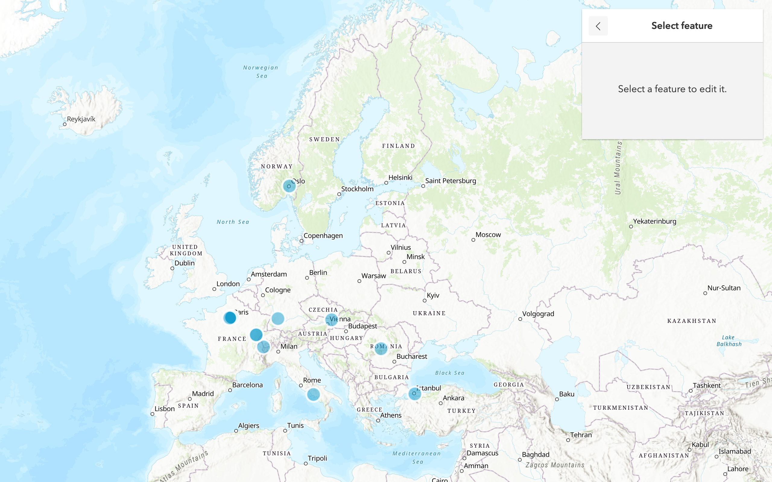
Create a feature layer view for an editor app
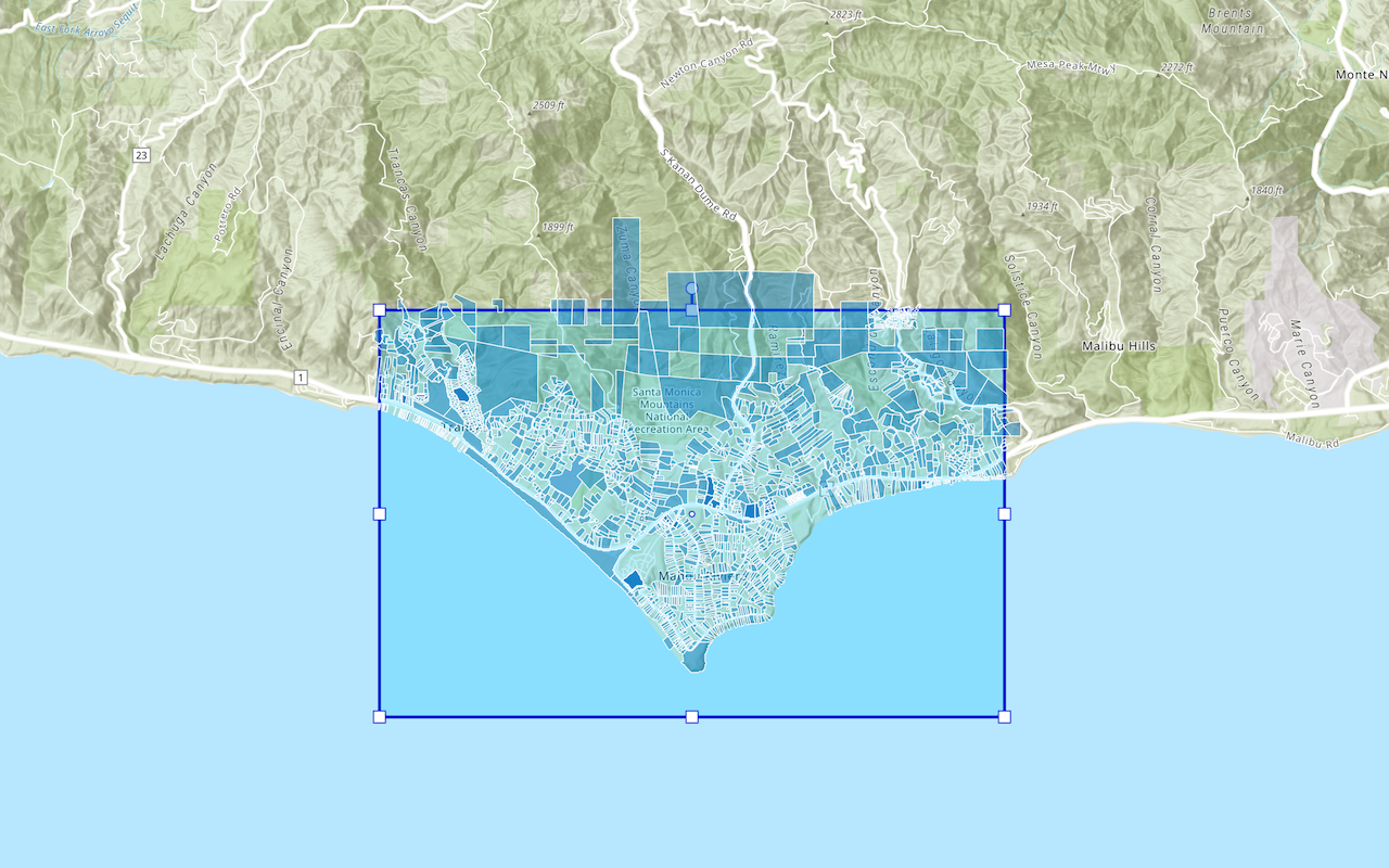
Learn how to import parcel data, create and style a feature layer view, and then access the features in an editing app.
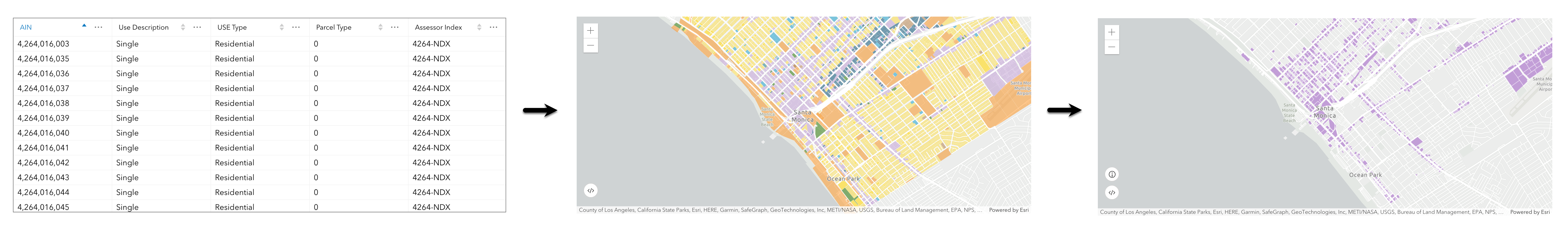
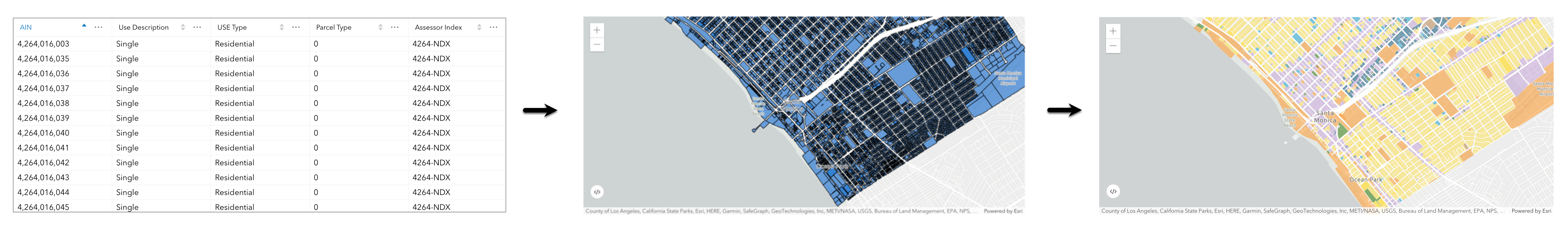
Create a vector tile service for an app
Learn how to import parcel data, style a feature layer, and then create a vector tile service for an app.
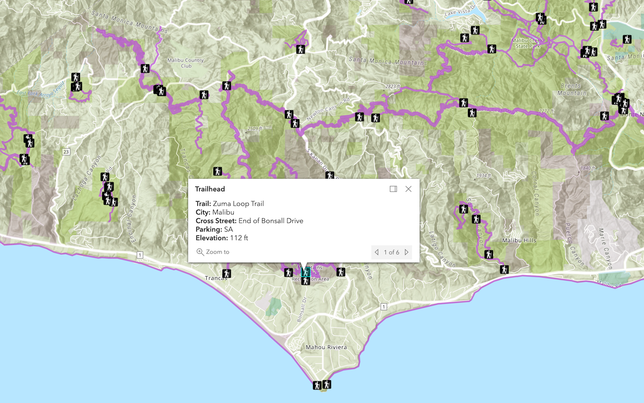
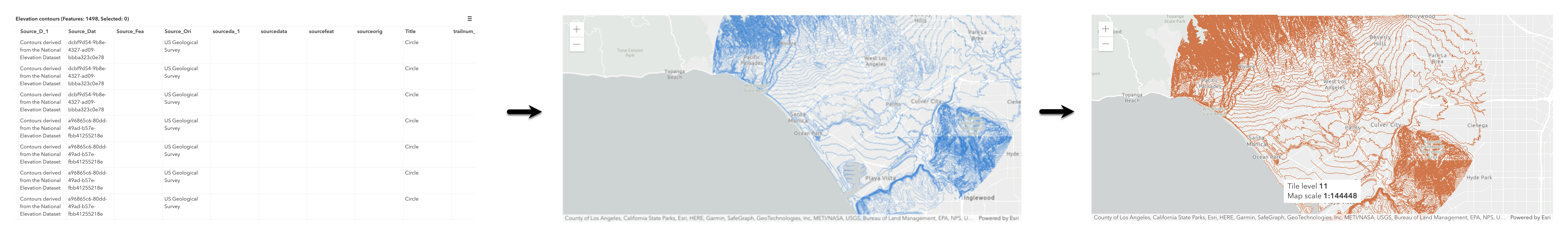
Create a map tile service for an app
Learn how to import contour data, style a feature layer, and create a map tile service for an app.
Services
Feature service
Add, update, delete, and query feature data.
Vector tile service
Store and access vector tile data.
Map tile service
Store and access map tile data.
API support
Use Client APIs to create, manage, and access data services. The table below outlines the level of support for each API.
- 1. Use portal class and direct REST API requests
- 2. Access via ArcGIS REST JS
- 3. Requires manually setting styles for renderers
Tools
Developer dashboard
Manage API keys, service usage, and data with the ArcGIS Developers website.
ArcGIS.com
Create, manage, and share content and data with GIS tools.
ArcGIS Enterprise
Create, manage, analyze, and share data, maps, and applications in your organization.
Map Viewer
Create, explore, and share web maps for 2D applications.