Display an alert message when a graphic is tapped.
Use case
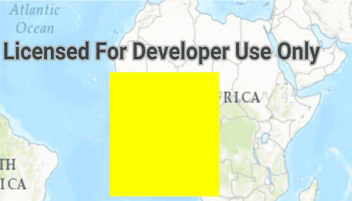
A user may wish to select a graphic on a map to view relevant information about it.
How to use the sample
Select a graphic to identify it. You will see an alert message displayed.
How it works
- Create a
GraphicsOverlayand add it to theMapView. - Add a
Graphicalong with aSimpleFillSymbolto the graphics overlay. - Create a
Pointfrom the location tapped on the map view by the user with aDefaultMapViewOnTouchListener.onSingleTapConfirmedmethod. - Identify the graphic on the map view with
identifyGraphicsOverlayAsync(graphicsOverlay, screenPoint, tolerance, max results).
Relevant API
- Graphic
- GraphicsOverlay
- MapView
Tags
graphics, identify
Sample Code
MainActivity.java
/* Copyright 2016 Esri
*
* Licensed under the Apache License, Version 2.0 (the "License");
* you may not use this file except in compliance with the License.
* You may obtain a copy of the License at
*
* http://www.apache.org/licenses/LICENSE-2.0
*
* Unless required by applicable law or agreed to in writing, software
* distributed under the License is distributed on an "AS IS" BASIS,
* WITHOUT WARRANTIES OR CONDITIONS OF ANY KIND, either express or implied.
* See the License for the specific language governing permissions and
* limitations under the License.
*
*/
package com.esri.arcgisruntime.sample.identifygraphics;
import java.util.List;
import java.util.concurrent.ExecutionException;
import android.content.Context;
import android.graphics.Color;
import android.graphics.Point;
import android.os.Bundle;
import android.view.MotionEvent;
import android.widget.Toast;
import androidx.appcompat.app.AppCompatActivity;
import com.esri.arcgisruntime.ArcGISRuntimeEnvironment;
import com.esri.arcgisruntime.concurrent.ListenableFuture;
import com.esri.arcgisruntime.geometry.PolygonBuilder;
import com.esri.arcgisruntime.geometry.SpatialReferences;
import com.esri.arcgisruntime.mapping.ArcGISMap;
import com.esri.arcgisruntime.mapping.BasemapStyle;
import com.esri.arcgisruntime.mapping.Viewpoint;
import com.esri.arcgisruntime.mapping.view.DefaultMapViewOnTouchListener;
import com.esri.arcgisruntime.mapping.view.Graphic;
import com.esri.arcgisruntime.mapping.view.GraphicsOverlay;
import com.esri.arcgisruntime.mapping.view.IdentifyGraphicsOverlayResult;
import com.esri.arcgisruntime.mapping.view.MapView;
import com.esri.arcgisruntime.symbology.SimpleFillSymbol;
import com.esri.arcgisruntime.util.ListenableList;
public class MainActivity extends AppCompatActivity {
private MapView mMapView;
private GraphicsOverlay grOverlay;
@Override
protected void onCreate(Bundle savedInstanceState) {
super.onCreate(savedInstanceState);
setContentView(R.layout.activity_main);
// authentication with an API key or named user is required to access basemaps and other
// location services
ArcGISRuntimeEnvironment.setApiKey(BuildConfig.API_KEY);
// inflate MapView from layout
mMapView = findViewById(R.id.mapView);
// create a map with the Basemap Style topographic
ArcGISMap map = new ArcGISMap(BasemapStyle.ARCGIS_TOPOGRAPHIC);
// set the map to be displayed in this view
mMapView.setMap(map);
mMapView.setViewpoint(new Viewpoint(3.184710, -4.734690, 100000000));
// set up gesture for interacting with the MapView
MainActivity.MapViewTouchListener mMapViewTouchListener = new MainActivity.MapViewTouchListener(this, mMapView);
mMapView.setOnTouchListener(mMapViewTouchListener);
addGraphicsOverlay();
}
private void addGraphicsOverlay() {
// create the polygon
PolygonBuilder polygonGeometry = new PolygonBuilder(SpatialReferences.getWebMercator());
polygonGeometry.addPoint(-20e5, 20e5);
polygonGeometry.addPoint(20e5, 20.e5);
polygonGeometry.addPoint(20e5, -20e5);
polygonGeometry.addPoint(-20e5, -20e5);
// create solid line symbol
SimpleFillSymbol polygonSymbol = new SimpleFillSymbol(SimpleFillSymbol.Style.SOLID, Color.YELLOW, null);
// create graphic from polygon geometry and symbol
Graphic graphic = new Graphic(polygonGeometry.toGeometry(), polygonSymbol);
// create graphics overlay
grOverlay = new GraphicsOverlay();
// create list of graphics
ListenableList<Graphic> graphics = grOverlay.getGraphics();
// add graphic to graphics overlay
graphics.add(graphic);
// add graphics overlay to the MapView
mMapView.getGraphicsOverlays().add(grOverlay);
}
/**
* Override default gestures of the MapView
*/
class MapViewTouchListener extends DefaultMapViewOnTouchListener {
/**
* Constructs a DefaultMapViewOnTouchListener with the specified Context and MapView.
*
* @param context the context from which this is being created
* @param mapView the MapView with which to interact
*/
public MapViewTouchListener(Context context, MapView mapView) {
super(context, mapView);
}
/**
* Override the onSingleTapConfirmed gesture to handle tapping on the MapView
* and detected if the Graphic was selected.
*
* @param e the motion event
* @return true if the listener has consumed the event; false otherwise
*/
@Override
public boolean onSingleTapConfirmed(MotionEvent e) {
// get the screen point where user tapped
Point screenPoint = new Point((int) e.getX(), (int) e.getY());
// identify graphics on the graphics overlay
final ListenableFuture<IdentifyGraphicsOverlayResult> identifyGraphic = mMapView
.identifyGraphicsOverlayAsync(grOverlay, screenPoint, 10.0, false, 2);
identifyGraphic.addDoneListener(() -> {
try {
IdentifyGraphicsOverlayResult grOverlayResult = identifyGraphic.get();
// get the list of graphics returned by identify graphic overlay
List<Graphic> graphic = grOverlayResult.getGraphics();
// get size of list in results
int identifyResultSize = graphic.size();
if (!graphic.isEmpty()) {
// show a toast message if graphic was returned
Toast.makeText(getApplicationContext(), "Tapped on " + identifyResultSize + " Graphic", Toast.LENGTH_SHORT)
.show();
}
} catch (InterruptedException | ExecutionException ie) {
ie.printStackTrace();
}
});
return super.onSingleTapConfirmed(e);
}
}
@Override
protected void onPause() {
super.onPause();
mMapView.pause();
}
@Override
protected void onResume() {
super.onResume();
mMapView.resume();
}
@Override
protected void onDestroy() {
super.onDestroy();
mMapView.dispose();
}
}