Display the map at an initial viewpoint representing a bounding geometry.
Use case
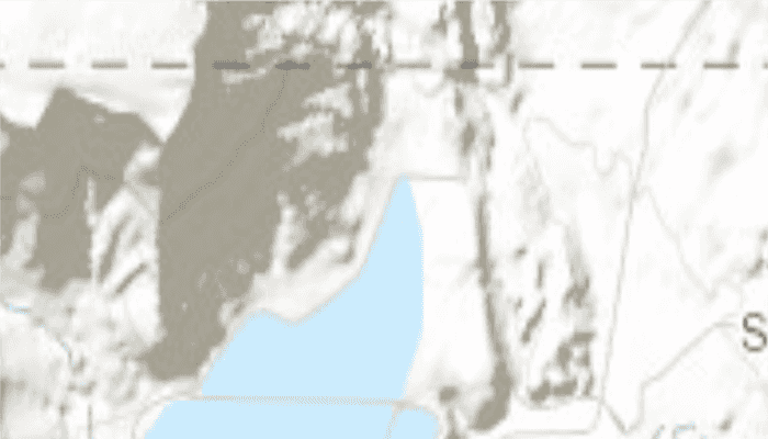
Setting the initial viewpoint is useful when a user wishes to first load the map at a particular area of interest.
How to use the sample
When the sample loads, note that the map is opened at the initial view point set.
How it works
- Instantiate an
ArcGISMapobject. - Instantiate a
Viewpointobject using anEnvelopeobject. - Set the starting location of the map with
setInitialViewpoint(Viewpoint). - Set the map to a
MapViewobject.
Relevant API
- ArcGISMap
- Envelope
- MapView
- Point
- Viewpoint
Tags
extent, zoom
Sample Code
MainActivity.java
/* Copyright 2016 Esri
*
* Licensed under the Apache License, Version 2.0 (the "License");
* you may not use this file except in compliance with the License.
* You may obtain a copy of the License at
*
* http://www.apache.org/licenses/LICENSE-2.0
*
* Unless required by applicable law or agreed to in writing, software
* distributed under the License is distributed on an "AS IS" BASIS,
* WITHOUT WARRANTIES OR CONDITIONS OF ANY KIND, either express or implied.
* See the License for the specific language governing permissions and
* limitations under the License.
*
*/
package com.esri.arcgisruntime.sample.setinitialmaparea;
import android.os.Bundle;
import androidx.appcompat.app.AppCompatActivity;
import com.esri.arcgisruntime.ArcGISRuntimeEnvironment;
import com.esri.arcgisruntime.geometry.Envelope;
import com.esri.arcgisruntime.geometry.SpatialReference;
import com.esri.arcgisruntime.mapping.ArcGISMap;
import com.esri.arcgisruntime.mapping.BasemapStyle;
import com.esri.arcgisruntime.mapping.Viewpoint;
import com.esri.arcgisruntime.mapping.view.MapView;
public class MainActivity extends AppCompatActivity {
private MapView mMapView;
@Override
protected void onCreate(Bundle savedInstanceState) {
super.onCreate(savedInstanceState);
setContentView(R.layout.activity_main);
// authentication with an API key or named user is required to access basemaps and other
// location services
ArcGISRuntimeEnvironment.setApiKey(BuildConfig.API_KEY);
// get a reference to the map view
mMapView = findViewById(R.id.mapView);
// create a map with the basemap
ArcGISMap map = new ArcGISMap(BasemapStyle.ARCGIS_TOPOGRAPHIC);
// set the map to be displayed in this view
mMapView.setMap(map);
// create an initial extent envelope
Envelope initialExtent = new Envelope(-12211308.778729, 4645116.003309, -12208257.879667, 4650542.535773,
SpatialReference.create(102100));
// create a viewpoint from envelope
Viewpoint viewpoint = new Viewpoint(initialExtent);
// set initial map extent
mMapView.setViewpoint(viewpoint);
}
@Override
protected void onPause() {
mMapView.pause();
super.onPause();
}
@Override
protected void onResume() {
super.onResume();
mMapView.resume();
}
@Override
protected void onDestroy() {
mMapView.dispose();
super.onDestroy();
}
}