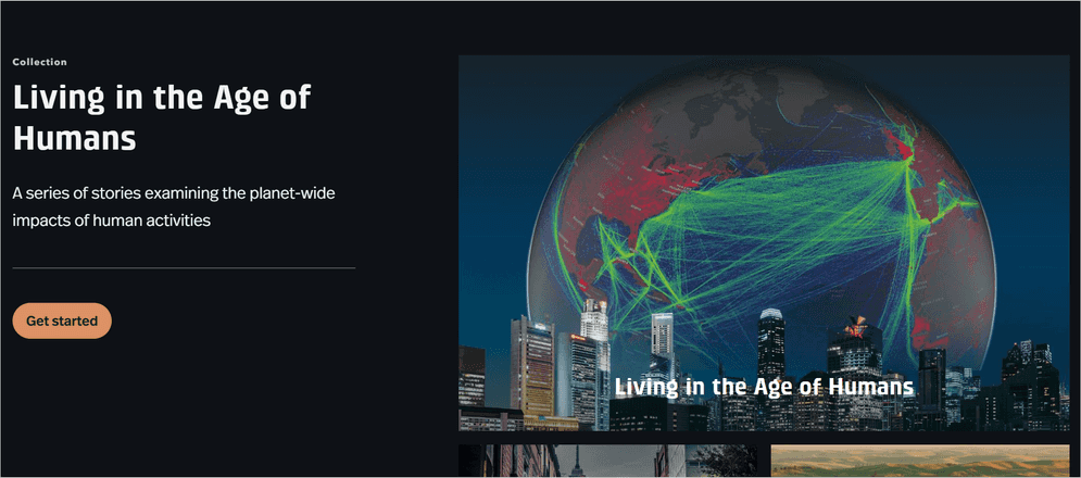
Living in the Age of Humans story created with ArcGIS StoryMaps
ArcGIS StoryMaps allows you to create interactive stories with maps, images, videos, and text. It offers various configuration and customization options to help you personalize your stories. This section provides an overview of some of the features and configuration options available to create a unique story.
App configuration
The sections of a story that you can configure include the following:
-
Header and footer
Configure the header and footer of a story by adding your own logos, text, and images.
-
Background
Configure the background of a story by choosing a color, adding an image or video, or using a map.
-
Text and media
Configure the text and media in your app by adding your own content, such as images, videos, and audio.
-
Layout
Configure the layout of your app by changing the size and position of elements such as maps, images, and text boxes.
-
Theme
Configure a theme of your app by changing the color scheme and font style.
Automation using Python
ArcGIS StoryMaps content can be programmatically updated using the StoryMap module of the ArcGIS API for Python. The Python API is a library that allows you to automate various tasks and workflows including working with ArcGIS StoryMaps.
Why automate using Python?
The Python API can streamline your workflow and save time in situations where you would otherwise need to make many manual updates using the story builder.
For example, you can create a Python script to create dozens of templated stories each containing standard maps and details about every upcoming capital improvement project in your region or automate daily updates to a public information report with the latest charts, maps, and data.
To customize a story, you can:
-
Automate the creation of stories
Use Python to automate the creation of stories, making it easier to create and manage large numbers of stories.
-
Control the appearance of stories
Use Python to control the appearance of your story maps, including colors, fonts, and other design elements.
-
Modify data
Use Python to modify data in your story maps, such as converting data from one format to another, aggregating data, and performing custom calculations.
Tutorials

Customize a theme for impactful stories
Recreate an award-winning theme from the 2020 ArcGIS StoryMaps Competition to get to know the capabilities of the StoryMaps theme builder.
ArcGIS Online Location Platform dashboard

Build a sidecard in your story
Use a sidecar to allow others to access your mapped data one step at a time.
ArcGIS Online Location Platform dashboard