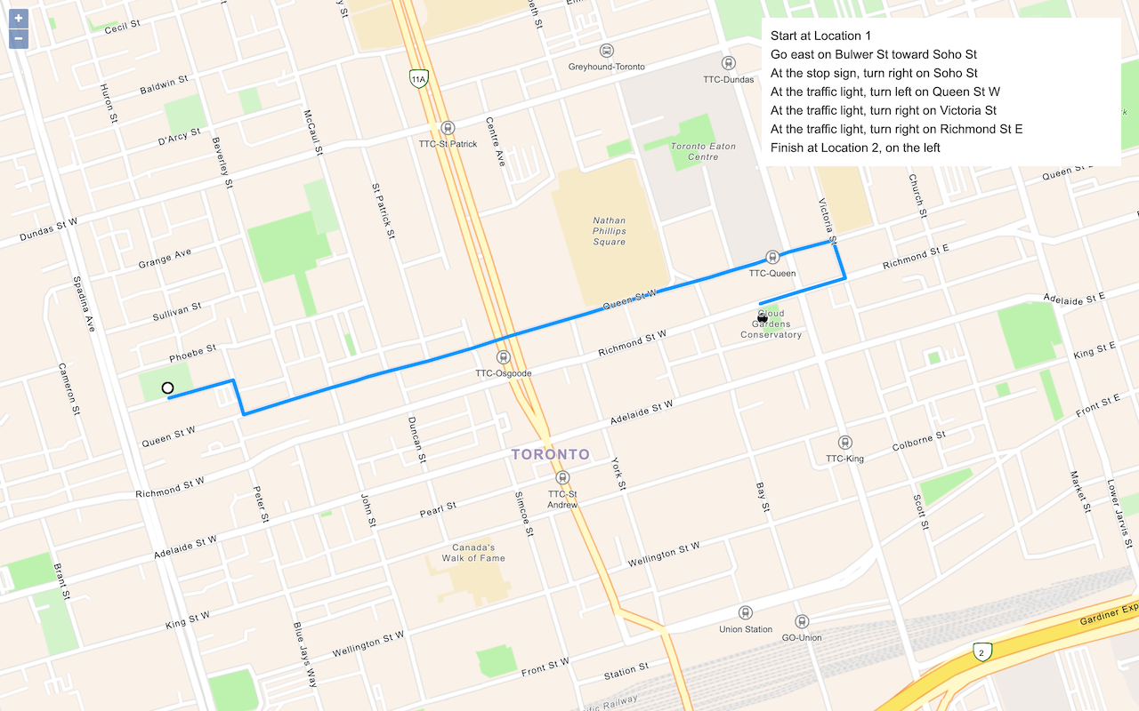
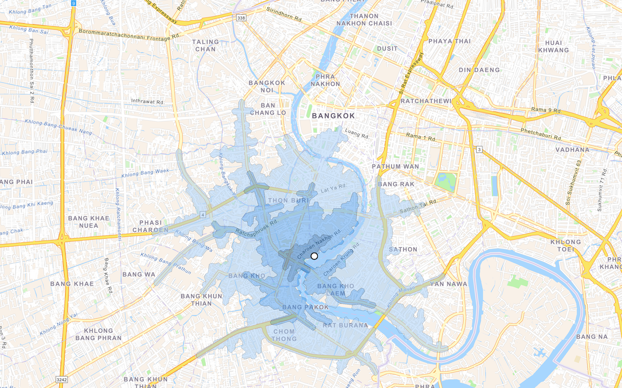
Routing is the process of finding the best path from an origin to a destination in a street network. Routing takes into consideration many different data parameters in the street network such as speed limit, number of lanes, and time of day. Routing can also take into consideration other real-time data such as road conditions, accidents, and other barriers.
You can use the routing service to:
- Find the shortest path from an origin to a destination.
- Find the quickest path to multiple destinations.
- Determine the best sequence to visit multiple destinations.
- Generate driving directions in multiple languages.
How to access the routing service
There is no direct integration in OpenLayers to access the routing service. To access the service in your application, you use the routing and request packages from ArcGIS REST JS.
The typical steps for accessing the routing service with ArcGIS REST JS is to:
- Reference the appropriate ArcGIS REST JS package.
- Set the API key to authenticate the request.
- Define parameters to pass to the service.
- Call the service and handle the results.
Example
Find a route
This example finds a route between two coordinate locations using the ArcGIS REST JS solve operation.
<script src="https://unpkg.com/@esri/arcgis-rest-request@4.0.0/dist/bundled/request.umd.js"></script>
<script src="https://unpkg.com/@esri/arcgis-rest-routing@4.0.0/dist/bundled/routing.umd.js"></script>
<script>
const authentication = arcgisRest.ApiKeyManager.fromKey(accessToken);
arcgisRest
.solveRoute({
stops: [startCoords, endCoords],
authentication
})
.then((response) => {
routeLayer.setSource(
new ol.source.Vector({
features: geojson.readFeatures(response.routes.geoJson)
})
);
})
</script>

