A basemap
Vector basemap tiles
The ArcGIS Basemap Styles service
Steps
- Select a basemap from the ArcGIS style or Open style family.
- Set the location of the map.
- Display the style with OpenLayers.
Learn about basemap usage models
If you have ArcGIS Location Platform you can access the Basemap styles service with one of the following usage models:
- Tile usage model: Usage for the total number of basemap tiles consumed. You are billed for each tile consumed by your application and recorded against the access token supplied. See the example.
- Session usage model: Usage for the total number of basemap sessions created. You are billed for each session created by your application and recorded against the access token supplied. See the example.
For more details, go to Mapping and location services > Basemap usage .
Display a basemap style
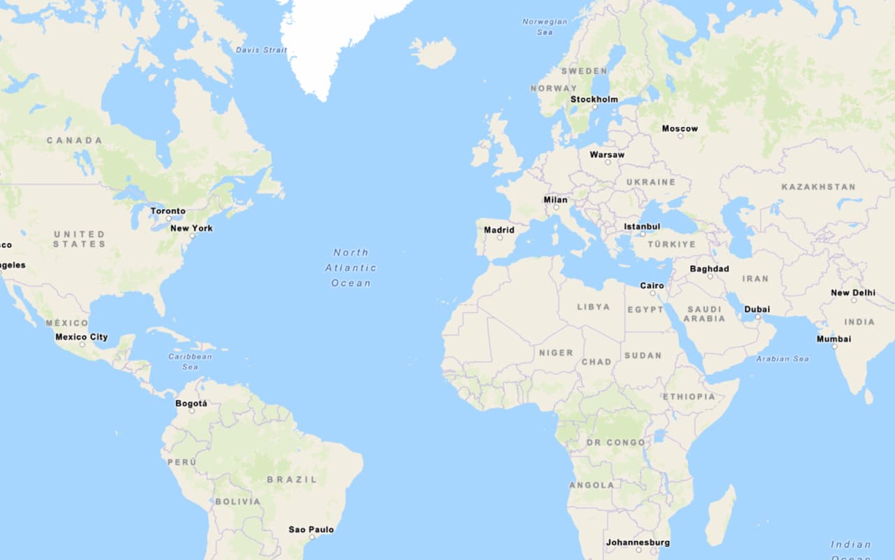
Learn how to display a basemap style from the Basemap Styles service. This example displays the arcgis/outdoor style.
This tutorial provides the easiest way to display a map. It uses an access token and the tiles usage model.
Display a map with a basemap session
Learn how to display a basemap style with a basemap session created with ArcGIS REST JS Basemap class.
This tutorial is an example of how to display a map with a session token. It uses the basemap session usage model.
Tutorials
Display a map
Create and display a vector tile basemap on a map.
Display a map (basemap session)
Display a map with a basemap session that lasts for 12 hours.
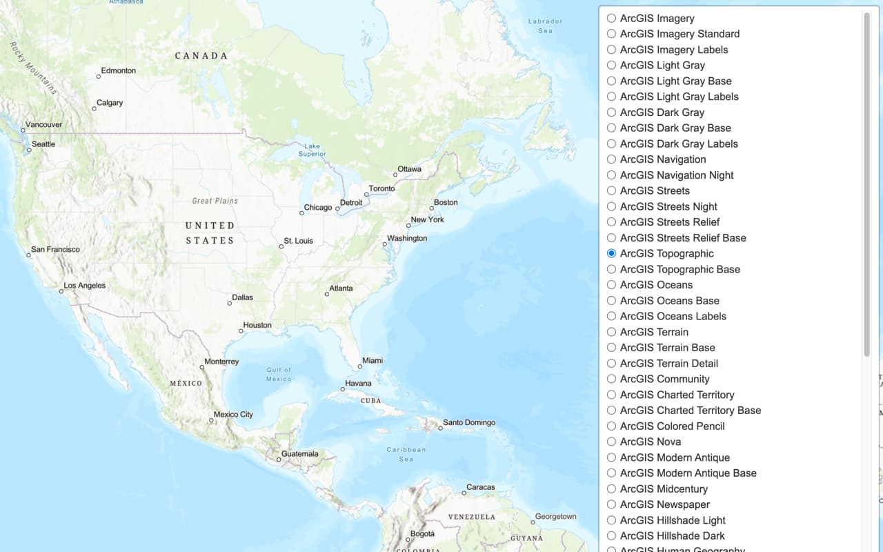
Change the basemap style
Switch a vector basemap style on a map.

Change language labels
Switch the language of place labels on a basemap.
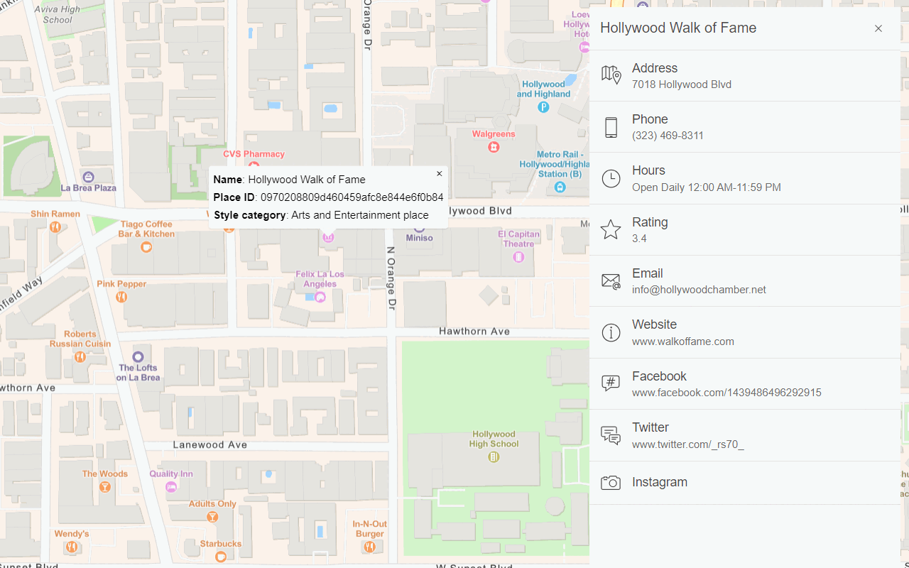
Display basemap places
Display places of interest on a basemap and get place details.
Display a custom basemap style
Add a custom vector basemap style to a map.
Raster basemap tiles
The ArcGIS Static Basemap Tiles service
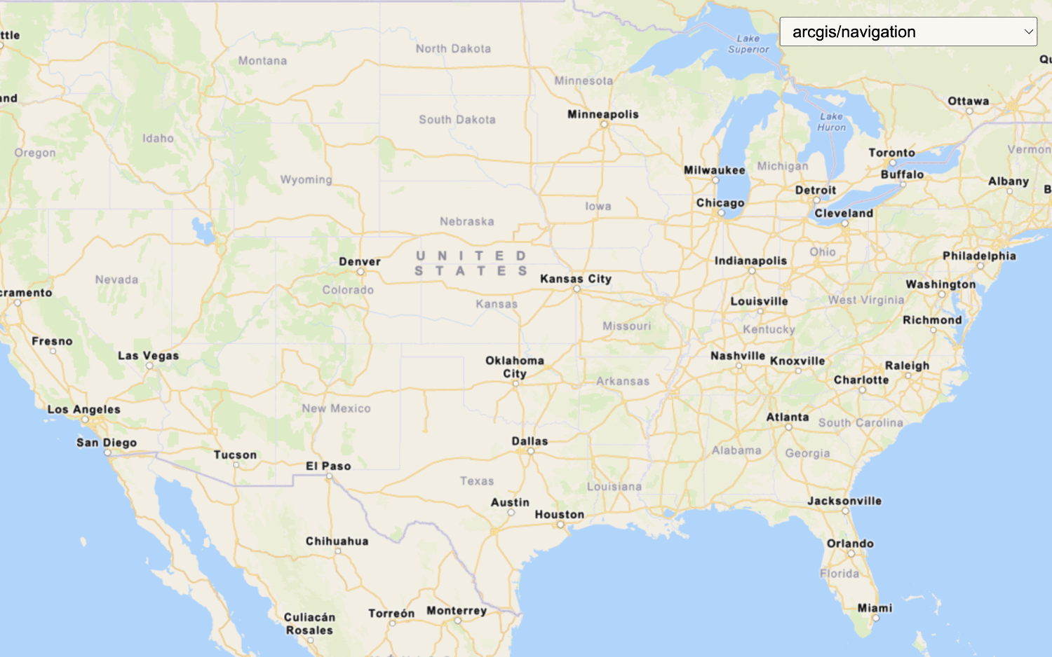
Display a raster tile basemap
Learn how to display a raster tile basemap with the Static Basemap Tiles service. This example displays the arcgis/navigation style as pre-rendered raster tiles.