Learn how to build applications with the basemap services.

Display a map
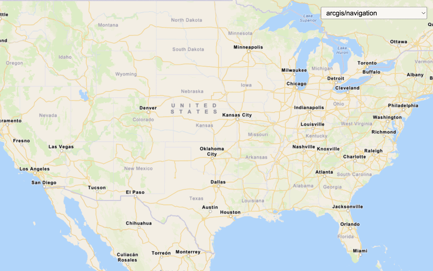
Create and display a map with the ArcGIS Basemap Styles service.

Display a map (basemap session)
Display a map with a basemap session that lasts for 12 hours.
Change the basemap style
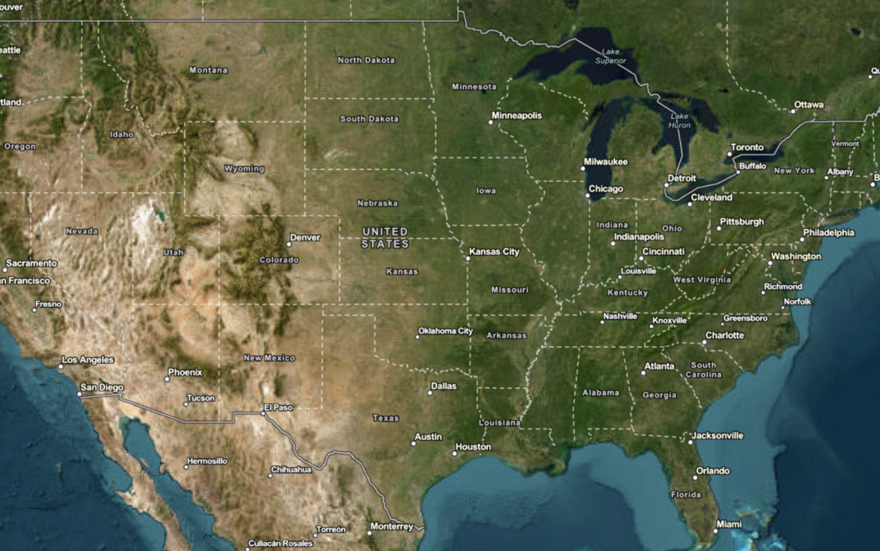
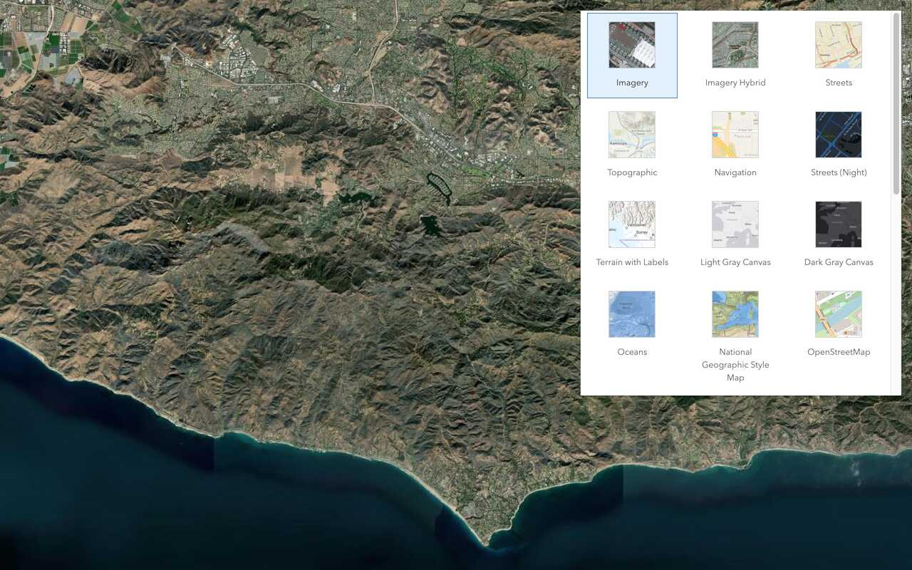
Switch a basemap layer from streets to satellite imagery.
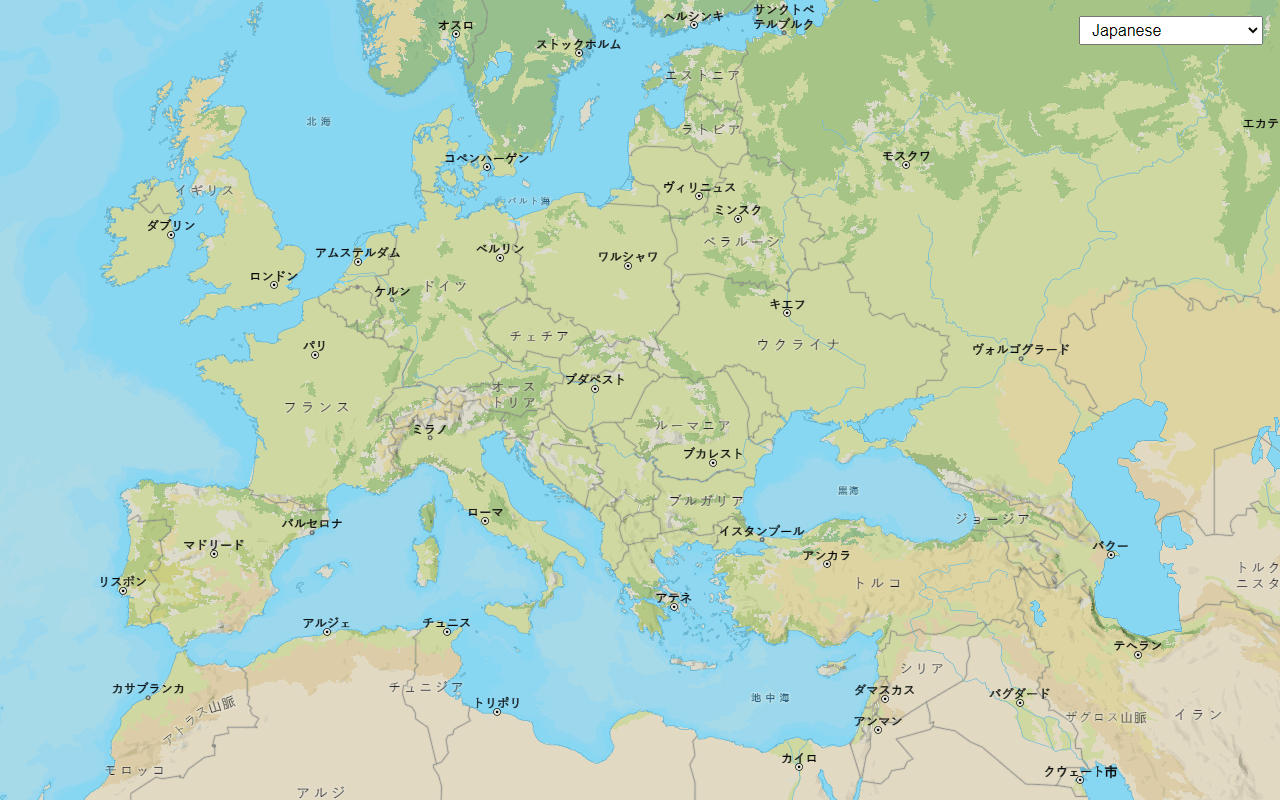
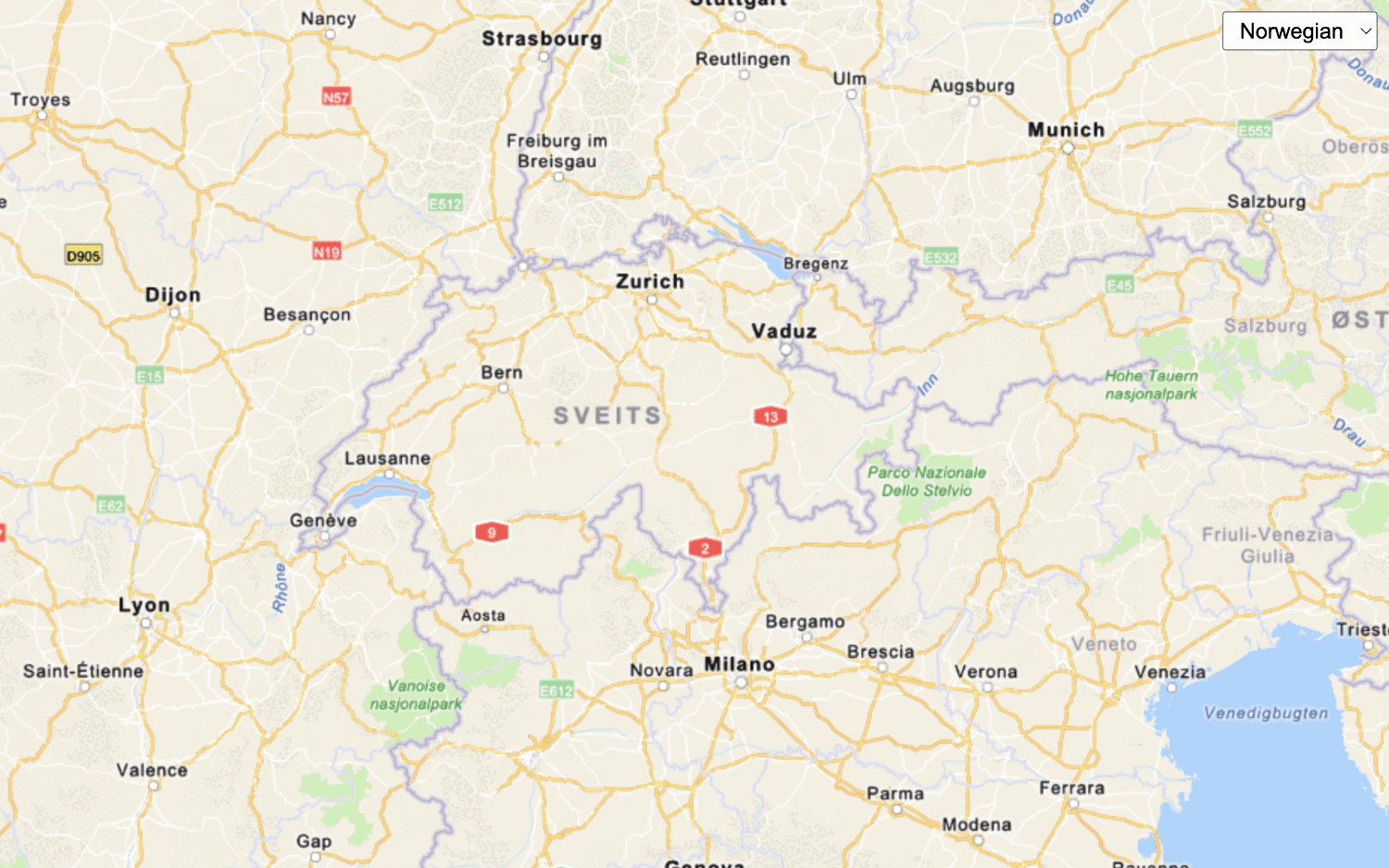
Change language labels
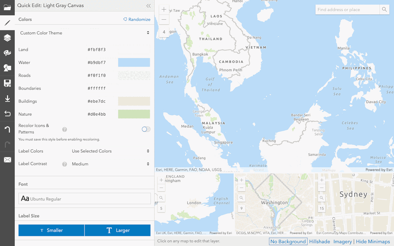
Create a custom basemap style
Use the ArcGIS Vector Tile Style Editor to style a vector tile basemap layer.
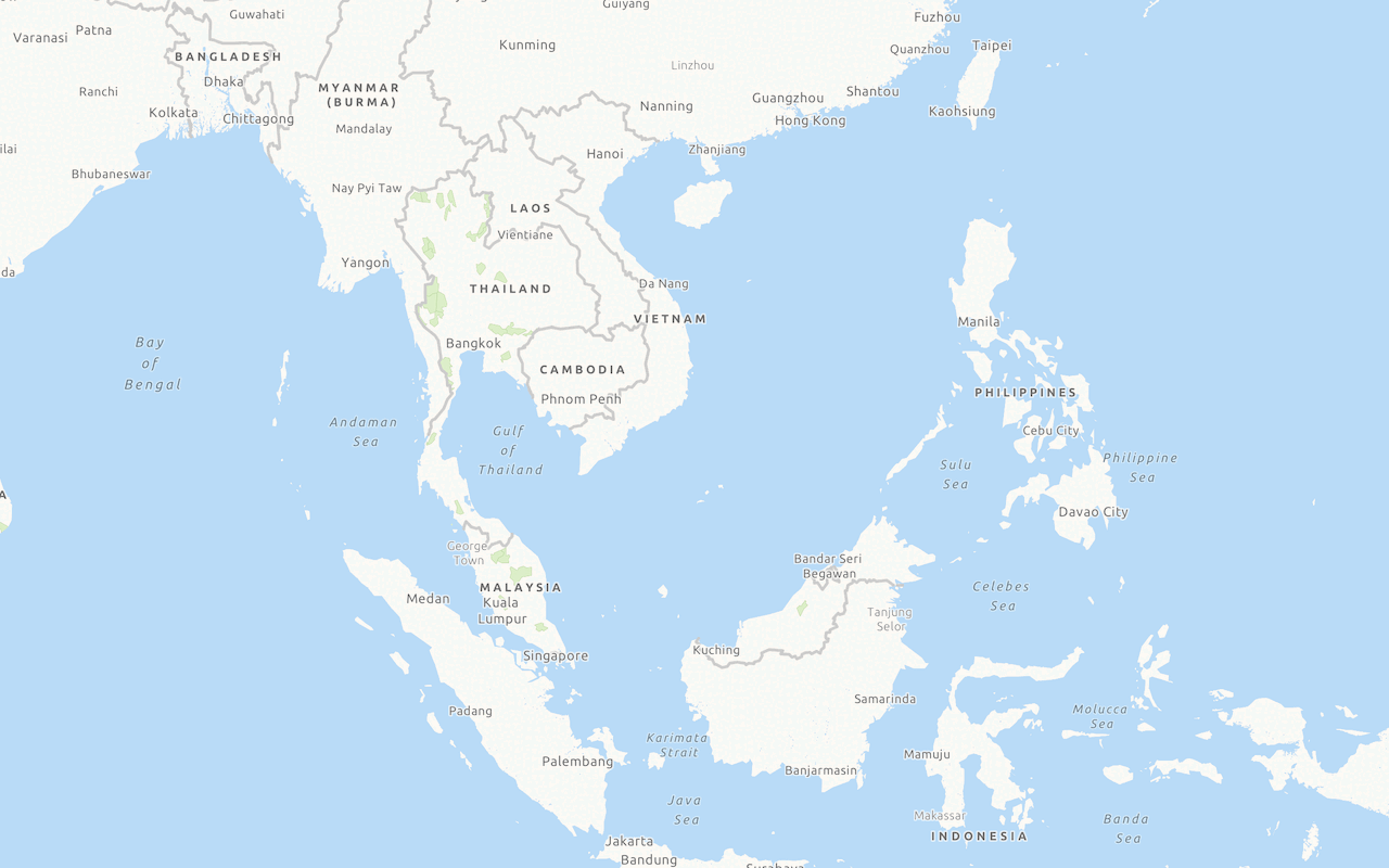
Display a custom basemap style
Add and display a styled vector tile basemap layer.

Display basemap places
Learn how to use the ArcGIS Basemap Styles service to show place location on a basemap.