Use
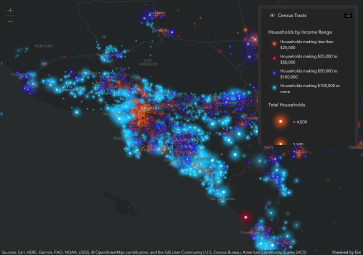
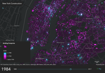
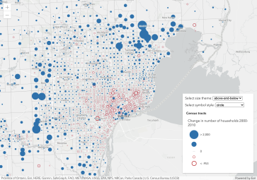
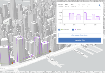
Visualize your data in 2D and 3D
Create stunning apps that can quickly visualize hundreds of thousands of features in 2D and 3D.

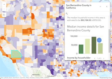
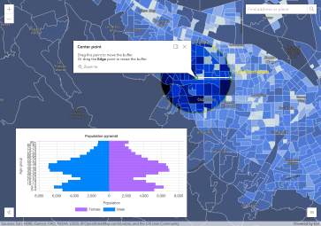
Client-side analysis
Build interactive analytical apps using client-side querying, filtering, and geometric operations.
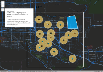
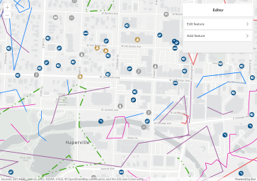
Build compelling apps
Create an engaging user experience using the collection of components and widgets.