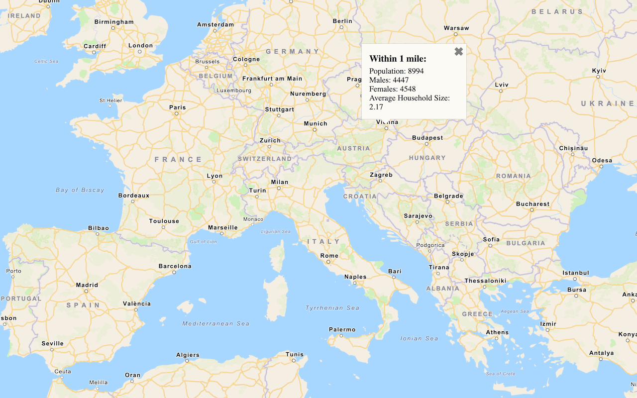
Learn how to use the Analysis Variable Finder tool to find global and local data for your application.
An analysis variable is an input data field name that defines what data to query and return from the GeoEnrichment service. Analysis variables are used to discover facts and information about the people and places in an area, which can help enrich applications for industries such as real estate and retail.
In this tutorial you learn how to find analysis variables for:
- Population
- Home values
- Spending data
Prerequisites
Steps
Find population density
-
Go to the Analysis Variable Finder tool.
-
In the dropdown, select United States (selected by default).
-
In the dropdown, select Esri 2025 (selected by default).
-
In the Variables section, click Population card.
-
Check 2025 Population Density (Pop per Square Mile) (Esri).
-
Scroll to the bottom and click Export as JSON to copy the analysis variable to the clipboard.
The analysis variable ID is:
["populationtotals.POPDENS _C Y"] Use dark colors for code blocks Copy { "analysisVariables": [ "populationtotals.POPDENS_CY" ], "useData": { "sourceCountry": "US", "hierarchy": "esri2025" } } -
Make a request to the GeoEnrichment service using the variable to find the values within a study area.
curl https://geoenrich.arcgis.com/arcgis/rest/services/World/geoenrichmentserver/Geoenrichment/enrich? \
-d "studyAreas=[{'geometry':{'x': -117.1042, 'y': 32.7671}}]" \
-d "analysisVariables=["populationtotals.POPDENS_CY"]" \
-d "f=json" \
-d "token=<ACCESS_TOKEN>"
Find home values
-
Go to the Analysis Variable Finder tool.
-
In the dropdown, select United States (selected by default).
-
In the dropdown, select Esri 2025 (selected by default).
-
In the Variables section, click Key Facts.
-
Check 2025 Median Home Value (Esri).
-
Scroll to the bottom and click Export as JSON to copy the analysis variable to the clipboard.
The analysis variable IDs are:
["homevalue..MEDVAL _C Y"] Use dark colors for code blocks Copy { "analysisVariables": [ "homevalue.MEDVAL_CY" ], "useData": { "sourceCountry": "US", "hierarchy": "esri2025" } } -
Make a request to the GeoEnrichment service using the variables to find the values within a study area.
curl https://geoenrich.arcgis.com/arcgis/rest/services/World/geoenrichmentserver/Geoenrichment/enrich? \
-d "studyAreas=[{'geometry':{'x': -117.1042, 'y': 32.7671}}]" \
-d "analysisVariables=["homevalue.MEDVAL_CY","homevalue.AVGVAL_CY"]" \
-d "f=json" \
-d "token=<ACCESS_TOKEN>"
Find restaurant spending trends
-
Go to the Analysis Variable Finder tool.
-
In the dropdown, select United States (selected by default).
-
In the dropdown, select Esri 2025 (selected by default).
-
In the Variables section, click Spending.
-
Select 2025 Personal Care Products & Services.
-
Scroll to the bottom and click Export as JSON to copy the analysis variable to the clipboard.
The analysis variable IDs are:
[".Health Personal Care CE X. X10001 _X"] Use dark colors for code blocks Copy { "analysisVariables": [ "HealthPersonalCareCEX.X10001_X" ], "useData": { "sourceCountry": "US", "hierarchy": "esri2025" } } -
Make a request to the GeoEnrichment service using the variable to find the values within a study area.
curl https://geoenrich.arcgis.com/arcgis/rest/services/World/geoenrichmentserver/Geoenrichment/enrich? \
-d "studyAreas=[{'geometry':{'x': -117.1042, 'y': 32.7671}}]" \
-d "analysisVariables=["HealthPersonalCareCEX.X10001_X"]" \
-d "f=pjson" \
-d "token=<ACCESS_TOKEN>"What's next?
Learn how to use additional tools, APIs, and location services in these tutorials:

Query demographic data
Query demographic information for locations around the world with the GeoEnrichment service.