1.4.0 Release notes
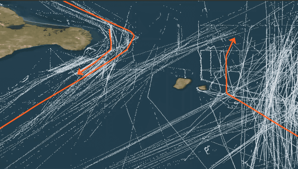
Track functions
GeoAnalytics Engine 1.4.0 includes a new geoanalytics.tracks module for working with motion datasets (e.g., GPS points). This module includes 20 functions that allow you to create, manipulate, and analyze "tracks", which are linestrings that represent the change in an entity's location over time. Each vertex in a track has a timestamp (stored as the M-value) and the vertices are ordered sequentially. For more information on using tracks in GeoAnalytics Engine, see track functions.
Similarity measures
GeoAnalytics Engine 1.4.0 includes 4 new functions for quantifying similarity between linestrings and other geometries. These functions include:
- ST_EuclideanDistance—Finds the euclidean distance between two linestrings.
- ST_FréchetDistance—Finds the discrete fréchet distance between two linestrings.
- ST_HausdorffDistance—Finds the hausdorff distance between two points, linestrings, or polygons.
- TRK_LCSS—Finds the longest common subsequence similarity between two track linestrings.
For more information see similarity measures.

Tools
Network tool enhancements
Four network analysis tools now support setting the departure or arrival time when performing analysis. These tools
include Create Routes, Create Service Areas,
Find Closest Facilities and
Generate OD Matrix. If traffic information is configured with your network
dataset and the set method is used in any of these tools, travel costs will vary with the time of the day.
This allows you to see how reachability changes over time. For example, the five-minute service area around a fire
station may start out large in the early morning, diminish during the morning rush hour, grow in the late morning, and
so on, throughout the day.
Additionally, the Create Service Areas tool now supports defining service area cutoffs using a column rather than a single value. This allows you to create different sizes of service areas for each location in your dataset if required. The 1.4.0 release also adds support for returning linestrings that represent routes within each service area.
Network and locator dataset utilities
Two new utilties are now available for exploring your network dataset or locator prior to using network analysis tools or geocoding tools. These utilties return properties of your data that may be useful for configuring analysis:
- describe_network_dataset—Returns properties of the network dataset in your mobile map package or mobile geodatabase, including spatial reference, travel modes, cost attributes, and more.
- describe_locator—Returns properties of your locator file or mobile map package, including available output fields, country codes, and spatial reference, among other useful attributes.
Global model diagnostics in GWR
The Geographically Weighted Regression tool (GWR) now supports returning global model diagnostics such as R-Squared, AICc, and more in addition to the local model diagnostics previously available from the tool.
Nearest Neighbors tool enhancements
The Nearest Neighbors tool now supports summarization of all nearest neighbors
for each query record. By using add you can summarize numeric columns with statistics like
count, sum, mean, minimum, maximum, range, standard deviation, variance, first, and last.
Additionally, the 1.4.0 release adds support for performing geodesic distance calculations without a distance bound.
Additional documentation
The new install guide for Microsoft Fabric provides instructions for installing GeoAnalytics Engine in Microsoft Fabric, an all-in-one analytics solution that offers a comprehensive suite of services including data lake, data engineering, and data integration.
New cloud runtime support
With every release, support for the latest Spark versions and cloud runtimes is added if possible. In 1.4.0, GeoAnalytics Engine adds support for the latest of the following cloud runtimes:
- Databricks (15.2)
- AWS EMR (7.1.0)
- Azure Synapse (Runtime for Apache Spark 3.4)
- Microsoft Fabric (1.1, 1.2)
Note that network analysis and geocoding tools are not supported in Azure Synapse Runtime for Apache Spark 3.4 and Microsoft Fabric 1.2. Please use previous releases of these cloud runtimes if you plan to use Create Routes, Create Service Areas, Find Closest Facilities, Generate OD Matrix, Geocode, or Reverse Geocode.