There are a number of ways to get started to develop with ArcGIS Maps SDK for .NET. If you are new, follow the steps below to get started with .NET and Visual Studio.
1. Sign up for an account
To use ArcGIS Maps SDK for .NET to access content
If you do not have an account, select one of the options below:
To join an existing ArcGIS organization, request an account from your ArcGIS Online
2. Get the SDK and dependencies
To develop apps using ArcGIS Maps SDK for .NET, you need to:
-
Ensure that your development environment meets the system requirements.
-
Install the SDK and its dependencies. ArcGIS Maps SDK for .NET NuGet packages are hosted on NuGet.org. To get started using NuGet to consume packages in Visual Studio, see Install and use a package in Visual Studio (Windows) or NuGet in Visual Studio Code in the Microsoft documentation.
-
Optionally, install the toolkit and project templates.
ArcGIS Maps SDK for .NET Toolkit contains user interface (UI) controls and components to use out-of-the-box or customize for your apps. You can include the Toolkit in your project as a NuGet package or get the source code from the GitHub repository and build the Toolkit yourself.
The ArcGIS Maps SDK for .NET Project Templates extension for Visual Studio (Windows) provides application project templates for Android, iOS, and Windows. The project templates reference the appropriate NuGet packages for each platform and use a Model-View-ViewModel (MVVM) design pattern. For more information about working with extensions see the topic Manage extensions for Visual Studio in the Microsoft documentation.
The
Esri.ArcGISRuntime.ProjectTemplatesNuGet package published on nuget.org provides application project templates for .NET MAUI (iOS, Android, WinUI), WPF, and WinUI. Since the Visual Studio extension described above is only for Windows operating system, you can use this method to make templates available in Visual Studio for Mac.
3. Choose a type of authentication
To access secure ArcGIS services and resources, you need to implement authentication. The easiest way to get started is to obtain an access token
4. Create your first mapping application
Follow step-by-step instructions in the Display a map tutorial to create your first mapping application. The following snippet shows the main code in the tutorial to display a map:
// Provide an access token for your app (usually when the app starts).Esri.ArcGISRuntime.ArcGISRuntimeEnvironment.ApiKey = "YOUR_ACCESS_TOKEN";
// Create a map with an ArcGIS basemap.var map = new Map(BasemapStyle.ArcGISNavigation);
// Add the map to a map view control defined on the page.MyMapView.Map = map;
Once you are done building your application, make sure to license it before deploying to production. For more information, see License and deployment topic for details.
5. Find more tutorials
Go to the tutorials to create and run applications to perform different operations.
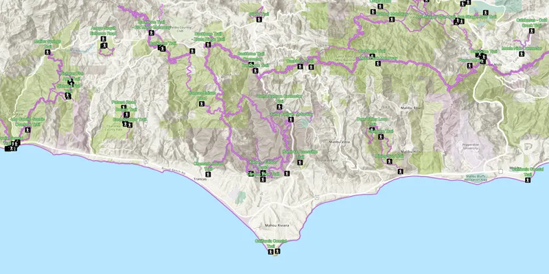
Display a web map
Display a preauthored map stored as an ArcGIS Online portal item.

Add a point, line, and polygon
Learn how to display a point, line, and polygon graphic in a map.
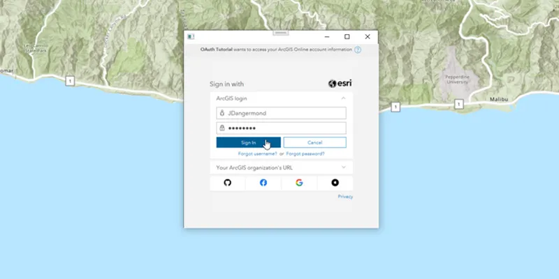
Access services with OAuth credentials
Learn how to implement user authentication to access a secure ArcGIS service with OAuth credentials.
6. Explore the samples
Go to the samples to learn how to perform more tasks with the API.
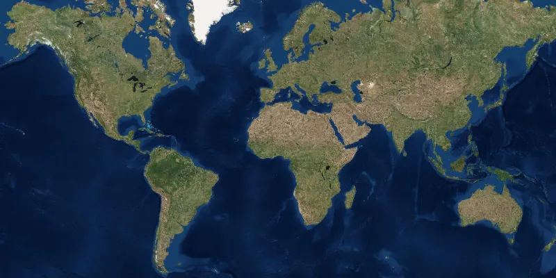
Display a map
Display a map with an imagery basemap.

Open a web scene
Open a web scene from a portal item.

Display device location
Display your current position on the map, as well as switch between different types of auto pan modes.
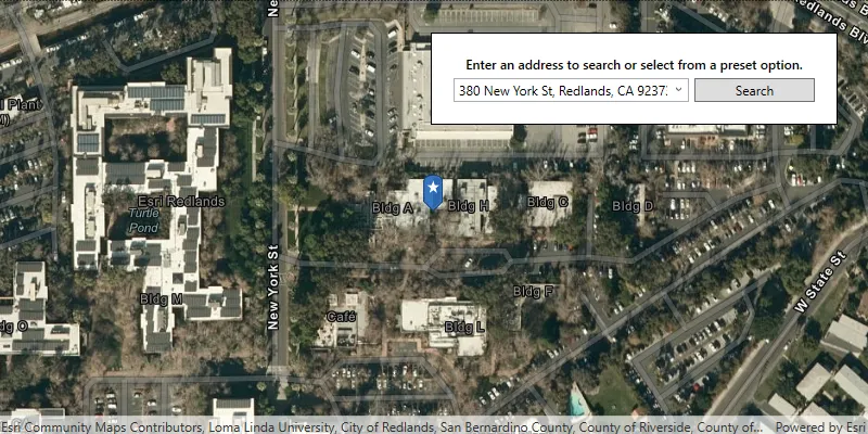
Find an address
Find the location for an address.

Find route
Display directions for a route between two points.