A portal is a website with tools that can be used to create, manage, access, and share geospatial content
In addition, a portal includes security and authentication capabilities, comprised of access controls for that portal’s content, as well as authentication services for apps and users to gain access to a portal’s secured content and tools.
As a developer, you can use a portal to manage developer credentials
ArcGIS Location Platform
Learn more about working with portals in the Introduction to portals guide. See How to use authentication in the developer guide to learn more about creating and managing developer credentials.
Items, users, and groups in a portal
An ArcGIS portal is represented in the ArcGIS Maps SDK for .NET by the ArcGISPortal class. This class is loadable. Other classes in this API represent the items, users, and groups in a portal.
Portal items
An ArcGIS portal can store many types of content. See Supported items in the ArcGIS documentation for an exhaustive list. Perhaps the type most commonly used by apps is a web map—a JSON description of the data in a map, along with other display and behavioral properties. Other types include tile packages, feature collections, and services. Some types, such as globe documents and map templates, may only be relevant to desktop systems. Although you can access these types of data, you may not be able to use them on a mobile device.
The PortalItem class represents an individual item stored on a portal. Each item includes the following:
- Metadata, such as a unique identifier (ID), title, summary, description, thumbnail image, and tags
- Binary or text-based data—for example, the JSON that defines a web map or a feature collection, or a URL pointing to a map service, or the binary data of a tile package or shapefile.
The item ID
Portal users
A registered user of a portal is represented in the API by the PortalUser class. When you have signed in to a portal, you can get authentication information relating to the authenticated user from the portal class.
A user must authenticate to access secured resources. The authentication method you decide to implement might vary based upon the resources required by your application. Esri’s preferred authentication methods are:
-
User authentication: This method prompts users to sign in with an ArcGIS account
An ArcGIS account is an identity with a user type and set of privileges that can access specific ArcGIS products, tools, APIs, services, and resources. The main account types that can be used for development are an ArcGIS Location Platform account, ArcGIS Online account, and ArcGIS Enterprise account. ArcGIS Location Platform and ArcGIS Online accounts are also associated with a subscription. and grants an OAuth access tokenAn access token is an authorization string that provides access to secure ArcGIS content, data, and services. Its capabilities are determined by the privileges it supports. It is obtained by implementing API key authentication, User authentication, or App authentication. associated with the account to the client app. The app uses this token in all subsequent requests to the platform. This is the recommended method, and is most commonly used with ArcGIS Online and ArcGIS Enterprise. -
API key authentication: This type of authentication uses a long-lived access token to authenticate requests to ArcGIS services
A service, also known as an ArcGIS service, is software that supports an ArcGIS REST API and provides geospatial functionality or data. A service can be hosted by Esri or in ArcGIS Enterprise. and portal items. For more information see the Introduction to API key authentication. Go to the Create an API key tutorial to obtain a new API Key access token. It is the recommended type of authentication for developers new to ArcGIS or to development in general.
For an overview of the ways to access secure services, see Authentication.
Portal groups
Groups are a way to collaborate with other users who share a common interest. A group combines a list of portal items and a list of portal users. A user can create groups, join groups, and share items with those groups. Groups have titles, descriptions, thumbnails, and unique IDs to help users identify them. The sharing model within ArcGIS Online is based on groups. Groups are represented in the API by the PortalGroup class.
ArcGIS Online
ArcGIS Online is a cloud-based mapping and analysis platform that provides an ArcGIS portal. With ArcGIS Online you can do things like:
- Create web maps
- Web enable your data
- Control how your maps, data, and applications are shared
- Find relevant and useful basemaps, data, and configurable GIS resources
- Manage content and users in your organization
Once your data is hosted, you can access the data as services from your applications. You can also create new content (items), search for users and groups, and manage sharing.
When you sign in to ArcGIS Online with an organization account, you see a specialized view that your organization administrator has configured for you, giving you access to maps, content, and other services specific to your organization. You can also access all your own content and services.
Learn how to use ArcGIS Online in the ArcGIS Online documentation.
ArcGIS for organizations
To access all the capabilities of ArcGIS Online, your organization can purchase a subscription
Learn more about ArcGIS for organizations at ArcGIS Online.
ArcGIS Location Platform
ArcGIS Location Platform
Unlike ArcGIS Online, which is a multi-user organization, ArcGIS Location Platform is a single-user organization, designed for one developer to access and manage their content and services. It is, however, an actual ArcGIS Online organization. Consequently, the user can invite ArcGIS Online users from other organizations to collaborate on content through the use of groups. Users in a group can share content with other ArcGIS Online users, and vice versa.
Learn more about ArcGIS Location Platform, including subscriptions and pricing, at ArcGIS Location Platform.
ArcGIS Enterprise
ArcGIS Enterprise
Learn more about ArcGIS Enterprise.
Connecting to an instance of ArcGIS Enterprise portal is done in a very similar way to connecting to ArcGIS Online and is represented in the API by the same class, ArcGISPortal. Use the URL to the Enterprise portal website, along with an appropriate credential valid on that portal, or no credential if accessing public content anonymously.
Learn how to use ArcGIS Enterprise portal in the Portal for ArcGIS documentation.
Connect to a portal as an anonymous user
Your app can connect to www.arcgis.com as an anonymous user. This is useful when you want to access public content without requiring the user to sign in. To do this, create an ArcGISPortal instance with the URL of the portal.
// Call the static method CreateAsync without arguments to get a reference to the arcgis.com portalvar portal = await ArcGISPortal.CreateAsync();
// Get portal info and read its propertiesvar portalInfo = portal.PortalInfo;
Console.WriteLine(string.Format("Access: {0}", portalInfo.Access.ToString()));Console.WriteLine(string.Format("Name: {0}", portalInfo.PortalName));Console.WriteLine(string.Format("Mode: {0}", portalInfo.PortalMode.ToString()));
From here, you can access public content in www.arcgis.com. For example, you can do the following.
- Display a web map.
- Access the data stored in a portal item.
- Search for public content such as web maps, map services, map features, groups, and users.
However, there are many things you cannot do, such as: publish hosted layers, perform analysis in map viewer, create new web maps and scenes, interact with groups, edit data in a layer (unless the layer has public data collection enabled), and so on.
If you wish to connect to public content in your own ArcGIS Online organization, substitute your organization URL for www.arcgis.com.
// call the static method CreateAsync with a Uri argument to get a reference to a specific portalArcGISPortal portal = await ArcGISPortal.CreateAsync(new Uri("http://anorganization.maps.arcgis.com/sharing/rest"));You can also connect to an ArcGIS Enterprise portal as an anonymous user. This is done in the same way as connecting to ArcGIS Online, except that you should use a URL to the ArcGIS Enterprise portal, such as https://mywebserver.mynetwork.com/arcgis/home/. For information on connecting to ArcGIS Enterprise, see the Getting started using ArcGIS Enterprise.
Not all organizations allow anonymous access to their portal. In those cases, users can still access any public content in the portal via the URL to the content.
Samples

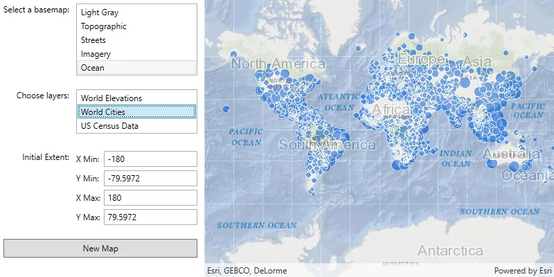
Open map (URL)

Open scene (portal item)
Create and save a map
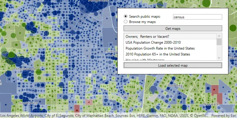
Search for web map
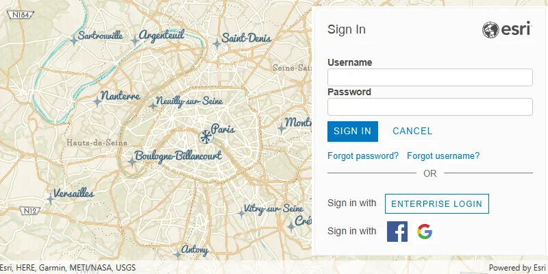
Authenticate with OAuth

Feature collection layer (portal item)
Services
Feature service
Add, update, delete, and query feature data.
Vector tile service
Store and access vector tile data.
Map tile service
Store and access map tile data.
Tools
ArcGIS Online
Cloud-based GIS with tools to manage, analyze, and share hosted data.
Dashboard
Manage and monitor developer credentials, location service usage, and data storage.
For ArcGIS Location Platform developers only.
Map Viewer
Create, explore, and share web maps for 2D applications.
Scene Viewer
Create, explore, and share web scenes for 3D applications.