Display a map with an imagery basemap.
Use case
The map is the fundamental building block of any GIS application and is used to specify how geographic data is organized and communicated to your users.
How to use the sample
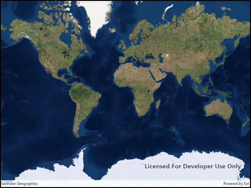
Run the sample to view the map. Pan and zoom to navigate the map.
How it works
- Create an
Mapwith aBasemapStyle.ArcGISImageryStandardbasemap style. - Create a
MapViewobject to display the map. - Set the map to the map view.
Relevant API
- Basemap
- Map
- MapView
Tags
basemap, map
Sample code
// Copyright 2016 Esri.//// Licensed under the Apache License, Version 2.0 (the "License"); you may not use this file except in compliance with the License.// You may obtain a copy of the License at: http://www.apache.org/licenses/LICENSE-2.0//// Unless required by applicable law or agreed to in writing, software distributed under the License is distributed on an// "AS IS" BASIS, WITHOUT WARRANTIES OR CONDITIONS OF ANY KIND, either express or implied. See the License for the specific// language governing permissions and limitations under the License.
using Esri.ArcGISRuntime.Mapping;
namespace ArcGIS.WinUI.Samples.DisplayMap{    [ArcGIS.Samples.Shared.Attributes.Sample(        name: "Display map",        category: "Map",        description: "Display a map with an imagery basemap.",        instructions: "Run the sample to view the map. Pan and zoom to navigate the map.",        tags: new[] { "basemap", "map" })]    public partial class DisplayMap    {        public DisplayMap()        {            InitializeComponent();
            // Create the UI, setup the control references and execute initialization            Initialize();        }
        private void Initialize()        {            // Create new Map with basemap            Map myMap = new Map(BasemapStyle.ArcGISImageryStandard);
// Assign the map to the MapView MyMapView.Map = myMap; } }}<UserControl x:Class="ArcGIS.WinUI.Samples.DisplayMap.DisplayMap" xmlns="http://schemas.microsoft.com/winfx/2006/xaml/presentation" xmlns:x="http://schemas.microsoft.com/winfx/2006/xaml" xmlns:esriUI="using:Esri.ArcGISRuntime.UI.Controls"> <Grid> <esriUI:MapView x:Name="MyMapView" /> </Grid></UserControl>