What is a vector tile service?
A vector tile service is a data service that provides access to vector tile data. Vector tiles contain style and attribute information. A vector tile service is created (published) from an existing hosted feature layer. Each service is composed of one tiled dataset and does not contain multiple layers like feature services. The tiles are a "snapshot" of the features in the feature layer. If the features in the original feature layer change, the vector tile layer needs to be regenerated to match. The symbols and renderer from a feature layer are used to define the styles for the vector tiles. If the input feature layer contains attributes, the fields and values can also be stored with the vector tile data. The style for a vector tile layer adheres to the Mapbox Style specification.
Vector tile services are typically used to take advantage of GPU rendering in a browser to display large amounts of features in mapping applications.
What can you do with a vector tile service?
You use a vector tile service when you want to:
- Publish a vector tile service from a feature layer in feature service.
- Store and access data as pre-cached (static) vector tiles in PBF format.
- Provide styles for tiles that are rendered on the client and can be re-styled.
- Support high-resolution GPU rendering on different devices.
- Create and use your own basemap layer styles with the ArcGIS Vector Tile Style Editor.
- Optimize accessing and displaying large amounts of data as tiles.
- Use vector tile data in offline applications.
What does the service URL look like?
When you publish a new vector tile service, the URL is created by the system. To find the URL you can use the hosted vector tile layer item in the portal associated with your ArcGIS account.
The service URL format to access the style is:
https://{host}/{organizationId}/arcgis/rest/services/{serviceName}/VectorTileServer/resources/styles/root.jsonExample: https
The service URL format to access the vector tiles is:
https://{host}/{organizationId}/arcgis/rest/services/{serviceName}/VectorTileServer/tile/{z}/{y}/{x}.pbfExample: https
Tutorials

Add a feature layer
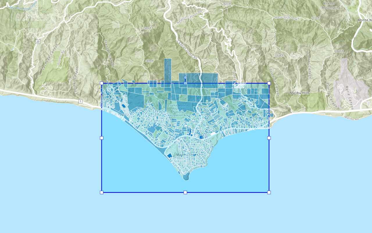
Access and display point, line, and polygon features from a feature service.

Add a vector tile layer

Add a map tile layer
Style a feature layer
Use symbols and renderers to style feature layers.
Query a feature layer (spatial)
Execute a spatial query to get features from a feature layer.
Query a feature layer (SQL)
Execute a SQL query to access polygon features from a feature layer.

Edit feature data

Display a popup
Format a popup to show attributes in a feature layer.
Workflows
Create a feature service for an app
Learn how to import parcel data, create and style a feature layer, and then access the features in an app.

Create a feature layer view for an editor app
Learn how to import parcel data, create and style a feature layer view, and then access the features in an editing app.

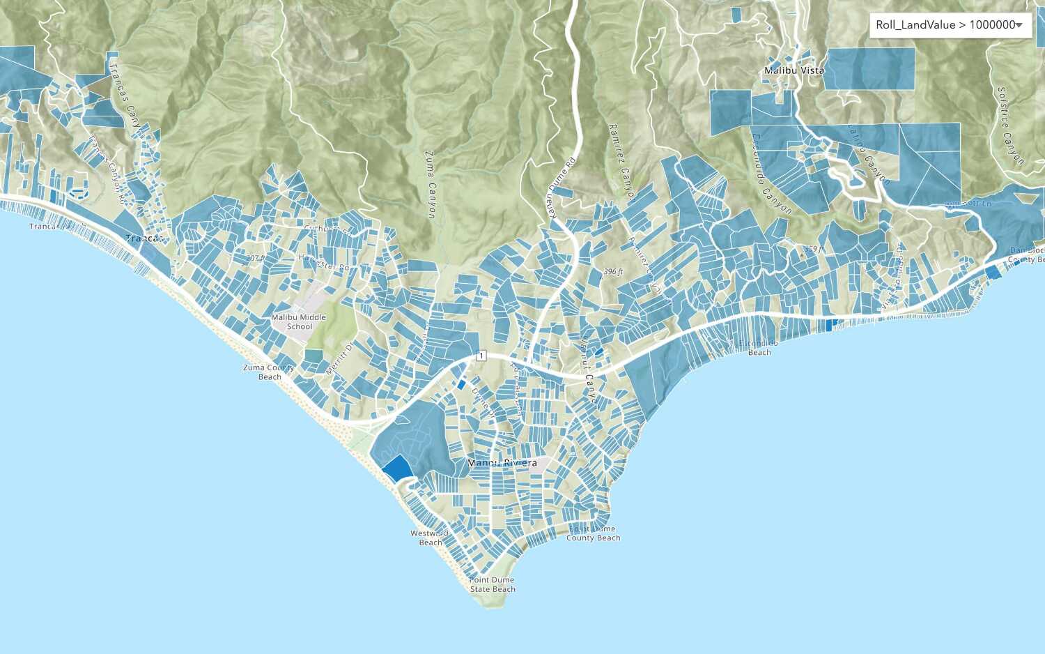
Create a vector tile service for an app
Learn how to import parcel data, style a feature layer, and then create a vector tile service for an app.

Create a map tile service for an app
Learn how to import contour data, style a feature layer, and create a map tile service for an app.

Services
Feature service
Add, update, delete, and query feature data.
Vector tile service
Store and access vector tile data.
Map tile service
Store and access map tile data.
API support
Use data management tools or Client APIs to create, manage, and access data services. The table below outlines the level of support for each API.
- 1. Use portal class and direct REST API requests
- 2. Access via ArcGIS REST JS
- 3. Requires manually setting styles for renderers