ArcGIS supports many different types of data services
Feature services
A feature service
Feature services are typically used to access, edit, update, export, and display records of geographic data in mapping applications.
Vector tile services
A vector tile service
Vector tile services are typically used to take advantage of GPU rendering in a browser to display large amounts of features in mapping applications.
Map tile services
A map tile service
Image services
An image service is a data service
You use image services
- satellite imagery
- drone imagery
- weather radar data
- aerial photography
Data service comparison
The table below provides a summary of how to create different types of data services
| Input format | Service type | Service layer | Data type | Output format | Key service operations | Use cases |
|---|---|---|---|---|---|---|
| Import data from files (CSV, XLS, GeoJSON...) or Define a new dataset | Feature service | Feature layer | Feature (geometry + attributes) | JSON, GeoJSON, PBF | query, apply, update, delete, add, append | Store geographic features as points, polylines, and polygons with attributes, query, edit, and update features, add attachments, display features on maps |
| Import data from files (CSV, XLS, GeoJSON...) or Define a new dataset | Feature service | Feature layer (table) | Feature (attributes) | JSON, GeoJSON, PBF | query, apply, update, delete, add, append | Store non-geographic features with attributes, query, edit, and update features, add attachments |
| Create from a feature service | Vector tile service | None | Vector tile | PBF | /tile/, resources/style, export | Access and display large amounts of data as vector tiles, style data, access attributes |
| Create from a feature service | Map tile service | None | Map tile | PNG32 | /tile/, export | Access and display large amounts of data as map tiles |
Tutorials

Import data to create a feature layer
Use data management tools to import files and create a feature layer in a feature service.
Define a new feature layer
Use data management tools to define and create a new empty feature layer in a feature service.

Manage a feature layer
Use a hosted feature layer item to set the properties and settings of a feature layer in a feature service.

Create a vector tile service
Use data management tools to create a new vector tile service from a feature service.

Create a map tile service
Use ArcGIS Online or scripting APIs to publish a map tile service.
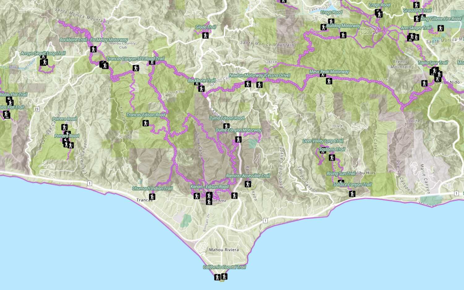
Add a feature layer
Access and display point, line, and polygon features from a feature service.
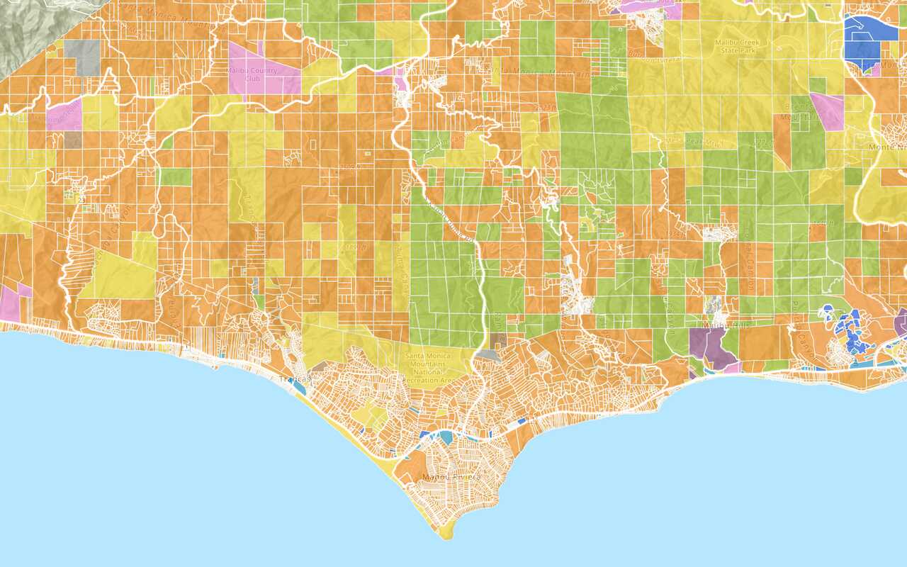
Add a vector tile layer

Add a map tile layer
Style a feature layer
Use symbols and renderers to style feature layers.
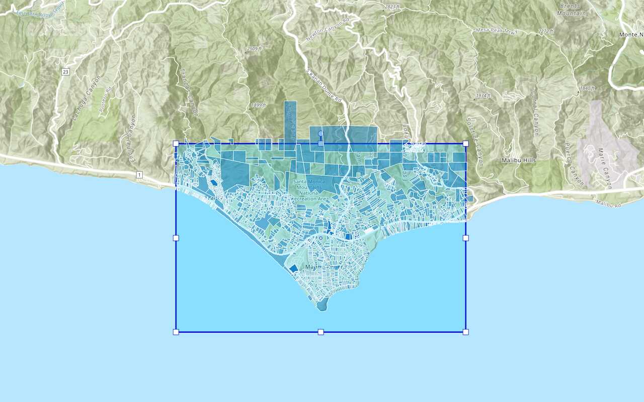
Query a feature layer (spatial)
Execute a spatial query to get features from a feature layer.
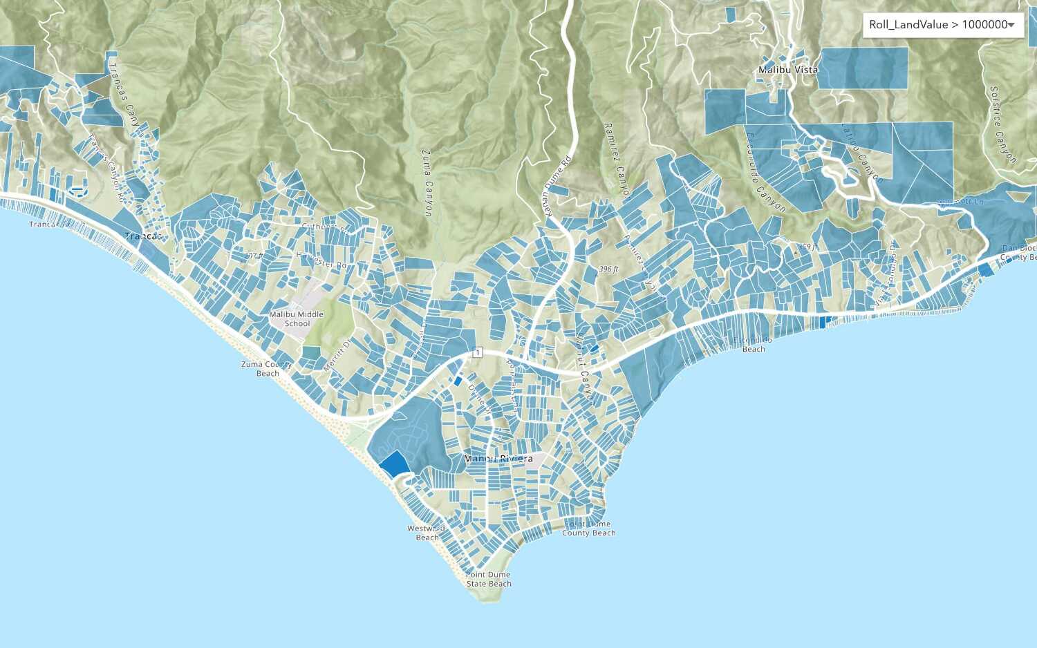
Query a feature layer (SQL)
Execute a SQL query to access polygon features from a feature layer.
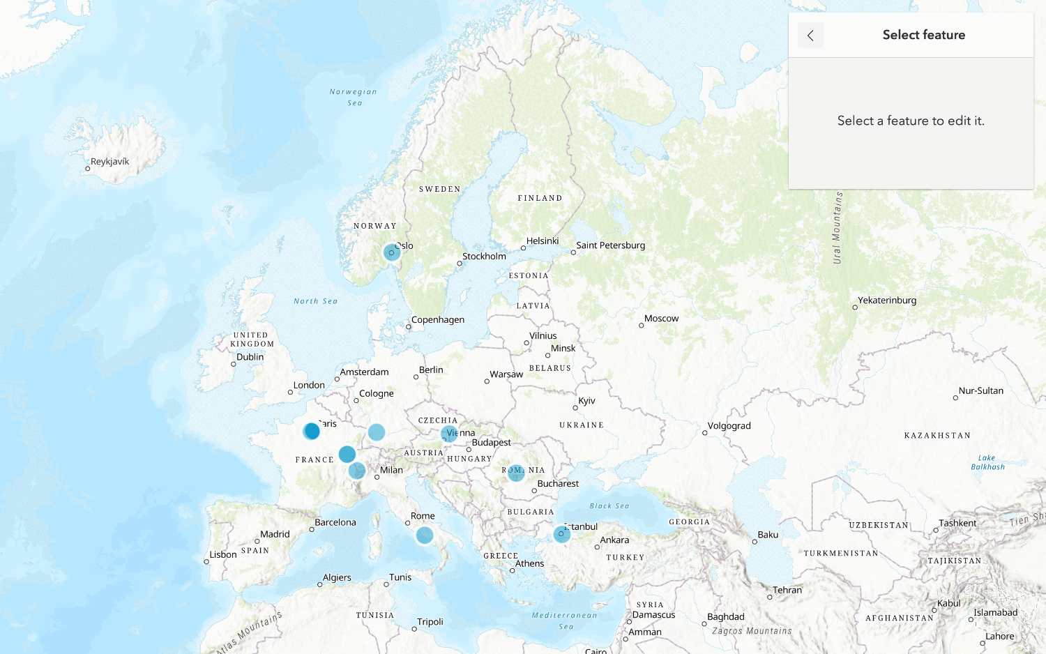
Edit feature data

Display a popup
Format a popup to show attributes in a feature layer.
Workflows
Create a feature service for an app
Learn how to import parcel data, create and style a feature layer, and then access the features in an app.

Create a feature layer view for an editor app
Learn how to import parcel data, create and style a feature layer view, and then access the features in an editing app.

Create a vector tile service for an app
Learn how to import parcel data, style a feature layer, and then create a vector tile service for an app.

Create a map tile service for an app
Learn how to import contour data, style a feature layer, and create a map tile service for an app.

Services
Feature service
Add, update, delete, and query feature data.
Vector tile service
Store and access vector tile data.
Map tile service
Store and access map tile data.
Image service
Store and access imagery and raster data.
API support
Use data management tools
- 1. Use portal class and direct REST API requests
- 2. Access via ArcGIS REST JS
- 3. Requires manually setting styles for renderers
- 4. Limited to Feature Services