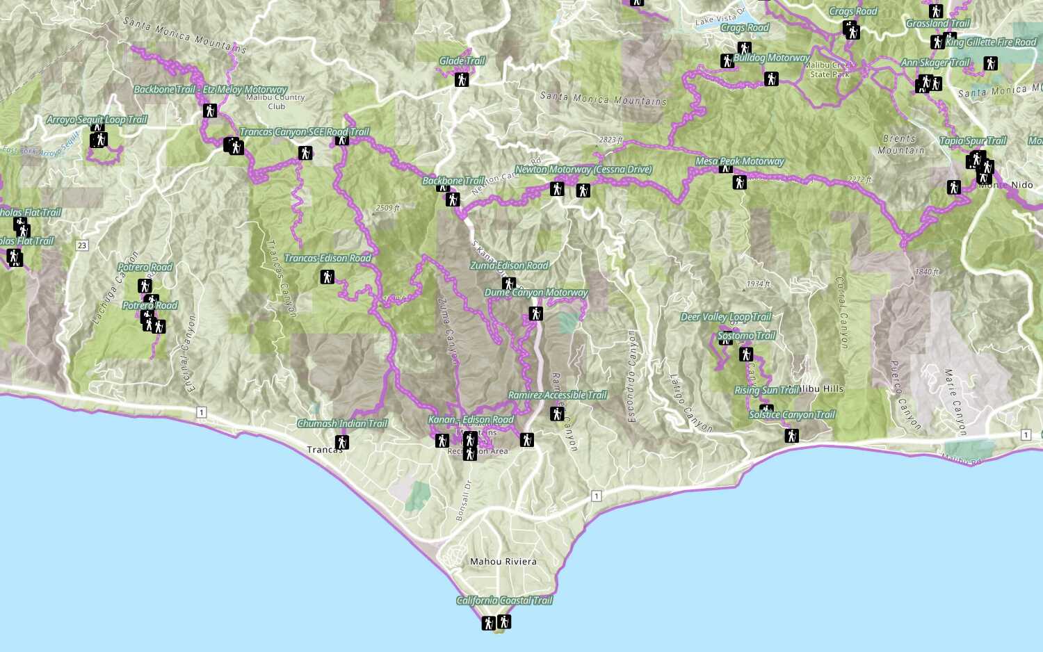
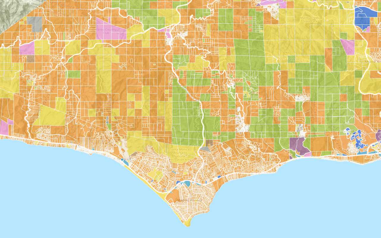
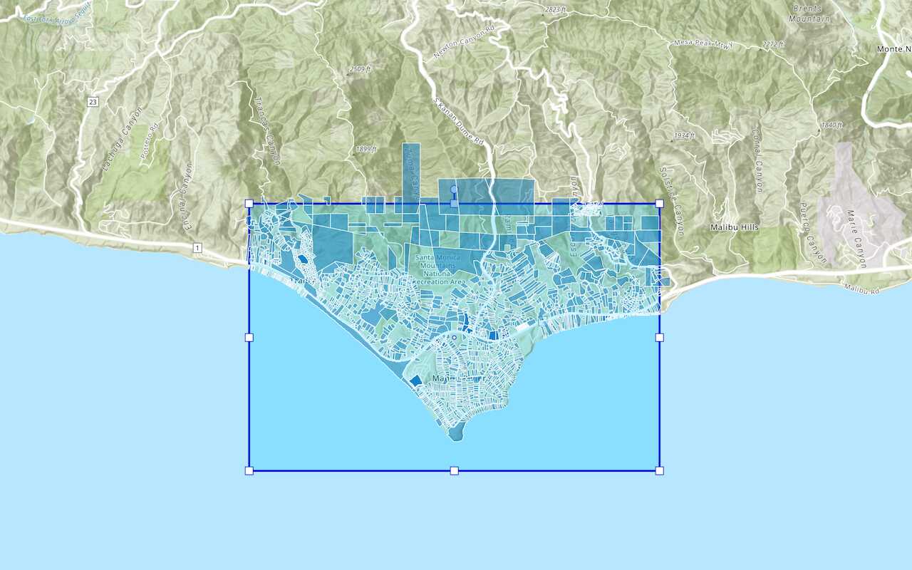
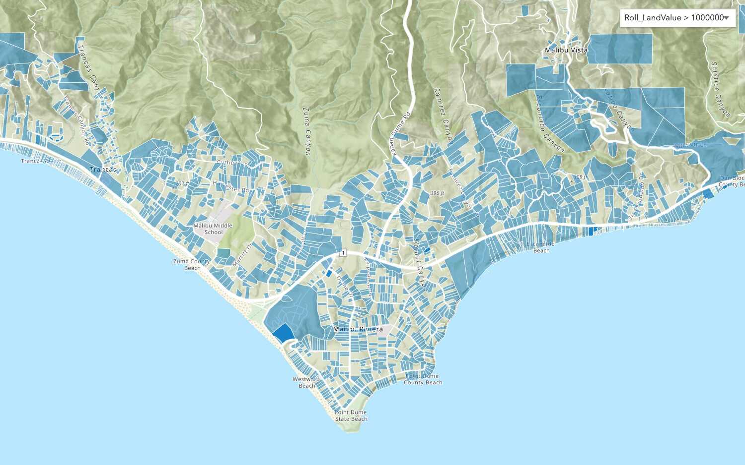
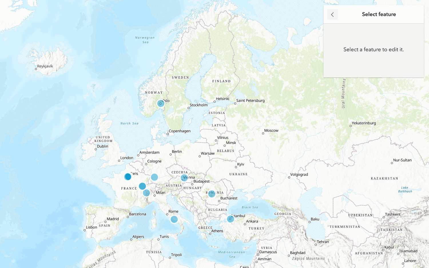
Learn how to use ArcGIS tools to access and display feature data.

You can use ArcGIS tools to access and display feature data. These tools are helpful if you want to see where features are located or if you want to explore feature attribute values. Some tools also give you the ability to add, update, and delete features. If you just want to explore the raw data, you can access the data directly with the layer's service URL.
In this tutorial, you use the Trails item page to access and display data with ArcGIS portal, Map Viewer, and Scene Viewer. You also use the service URL to view the raw data in a web browser.
Prerequisites
You need an account for ArcGIS Location Platform, ArcGIS Online, or ArcGIS Enterprise to create hosted data services. If you need an account, go to Get started.
Steps
View data in an item page
You can browse the data in a hosted feature layer by accessing its item page. This page also allows you to access other client applications such as Map Viewer that can be used to view the data.
-
Go to the item page for the Trails feature layer.
-
In the Overview item page, note the following tabs available:
- Overview: Contains information and links to view the feature layer and metadata.
- Data : View and edit attributes in a table.
- Visualization: Access and display feature fields, values, and records.
View data with a web browser
You can use a web browser to access a hosted layer (item) and its data. To do so, you use the URL for the feature layer. This accesses the feature service directly and allows you to use the meta data page to perform queries to view the raw data. Using a URL to access feature layer data is a fast way to test data access for your applications.
-
In the item page, click the Overview tab > Trails_0 under Layers.
-
On the right side of the page, click View to access the URL REST endpoint. The endpoint should look like this:
https://services3.arcgis.com/ G Vgb Jbqm8h XASV Yi/arcgis/rest/services/ Trails/ Feature Server/0 -
Note the Type and GeometryType of the Trails layer. The type of layer is a feature layer with polyline geometry.
-
Find Fields and make note of different attributes such as:
- ObjectID
- TRL_NAME
- ELEV_GAIN
-
At the bottom of the page, click Query.
-
Set the following properties:
- Where:
1=1 - OutFields:
* - Format:
HTML - Click Query(GET)
- Where:
-
Scroll down the page to view the results.
-
Change the Format value to
Geoand click Query(GET) to view the data in GeoJSON format.JSON
View data in Map Viewer
You can use Map Viewer to access display features in a hosted feature layer. This tool is helpful for viewing the location of the data and exploring the feature attribute values either in a map or a table.
-
Go back to the item page for the Trails feature layer.
-
On the right side of the page, locate Open in Map Viewer. Select Open in Map Viewer from the dropdown.
-
Click on the trails to display pop-ups with attribute information.
-
On the left panel, locate Trails-Trails 0 under Layers.
-
Click ... > Show table to display the fields and values of the feature layer.
-
On the right panel, click Filter. Click Add expression and set:
TRL_NAME containsBackbone> Save. The features that do not match the query will be filtered out.
View data in Scene Viewer
You can also view features in Scene Viewer. Scene Viewer allows you to view both 2D and 3D data in a scene.
-
Go back to the item page for the Trails feature layer.
-
On the right side of the page, click Open in Scene Viewer. When it opens, you can pan and zoom the map.
You are now able to access and view hosted feature layer data using the tools provided in ArcGIS Online, Map Viewer, and Scene Viewer.
What's next?
Learn how to use additional tools, APIs, and location services in these tutorials:

Import data to create a feature layer
Use data management tools to import files and create a feature layer in a feature service.

Define a new feature layer
Use data management tools to define and create a new empty feature layer in a feature service.

Manage a feature layer
Use a hosted feature layer item to set the properties and settings of a feature layer in a feature service.

Create a vector tile service
Use data management tools to create a new vector tile service from a feature service.
