Check out these 46 tutorials to learn more about the
ArcGIS Maps SDK for JavaScript
Authentication
Maps (2D)
Display a web map
Learn how to display a map from a web map stored in ArcGIS.
Using a View with components
Learn how to use a View with map components and Calcite components, to create an application with a header, thumbnail and web map.
Create a web app using components
Learn how to create a web application using the JavaScript Maps SDK, Map Components, and Calcite components.
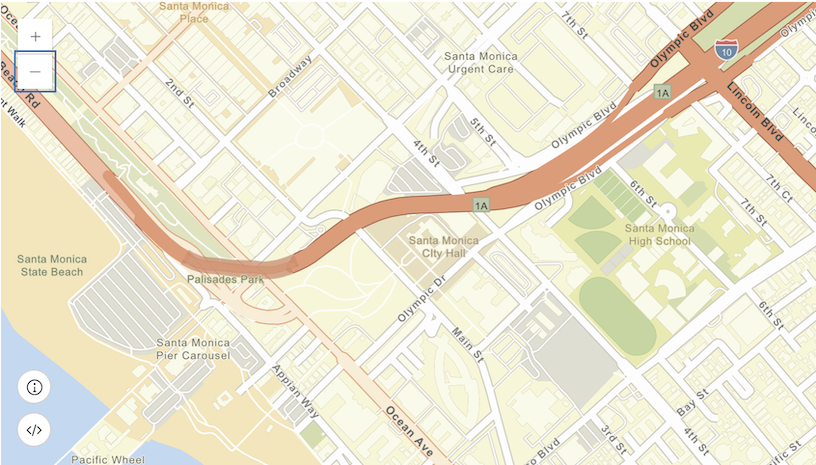
Display a map
Learn how to create and display a map with a basemap layer.
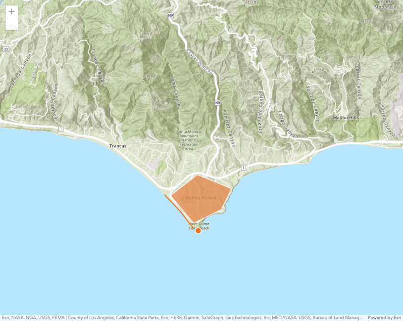
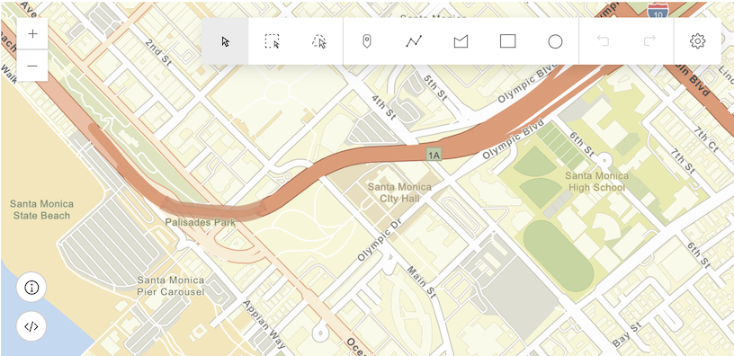
Add a point, line, and polygon
Learn how to display point, line, and polygon graphics as well as text in a map.
Display a map (basemap session)
Learn how to create and display a map with a basemap session.
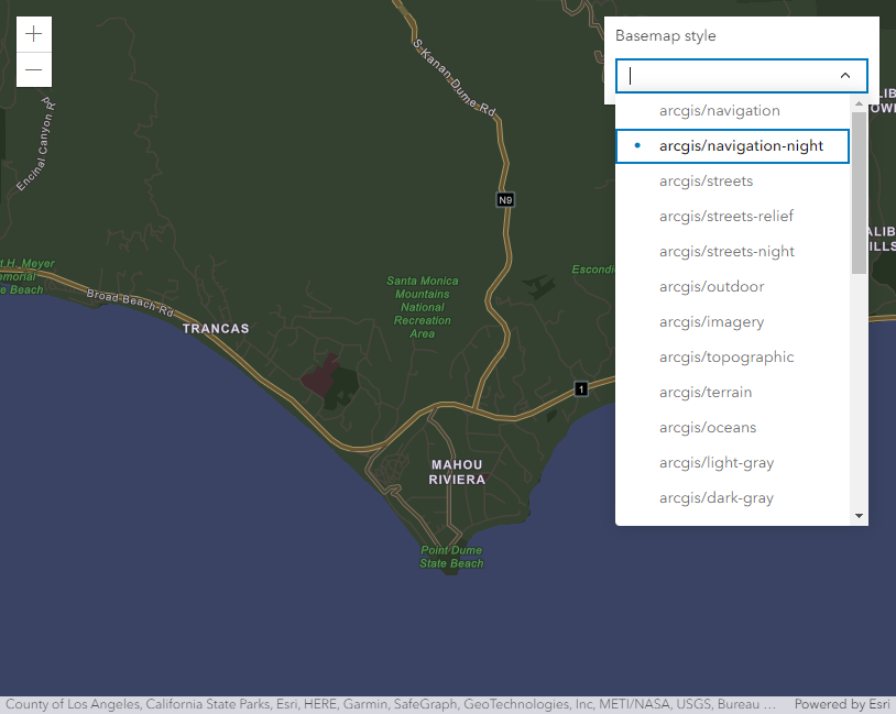
Change the basemap style
Learn how to change the basemap style.
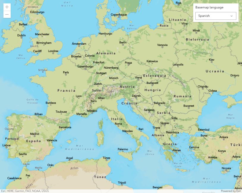
Change the basemap language
Learn how to change the language of an ArcGIS basemap layer.
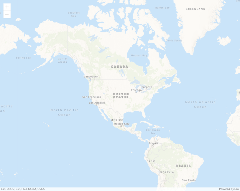
Display a custom basemap style
Learn how to access and display a styled basemap layer.
Scenes (3D)
Display a scene
Learn how to create a scene with a basemap layer and elevation.
Display a web scene
Learn how to display a map from a web scene stored in ArcGIS.
Layers
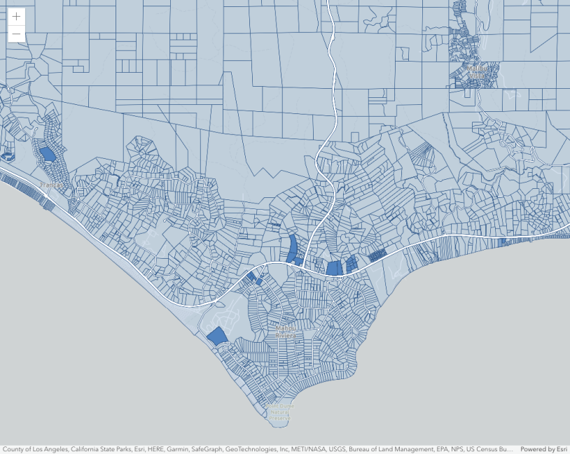
Add a feature layer
Learn how to access and display points, lines, and polygons from feature layers.
Style a feature layer
Learn how to use feature attributes and symbols with a renderer to style a feature layer.
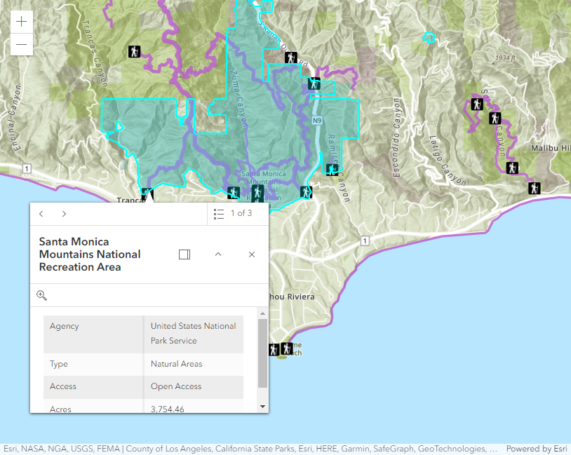
Display a pop-up
Learn how to format the content in pop-ups to show the attributes for features in a feature layer.
Add a vector tile layer
Add a published vector tile layer to an existing map.
Query
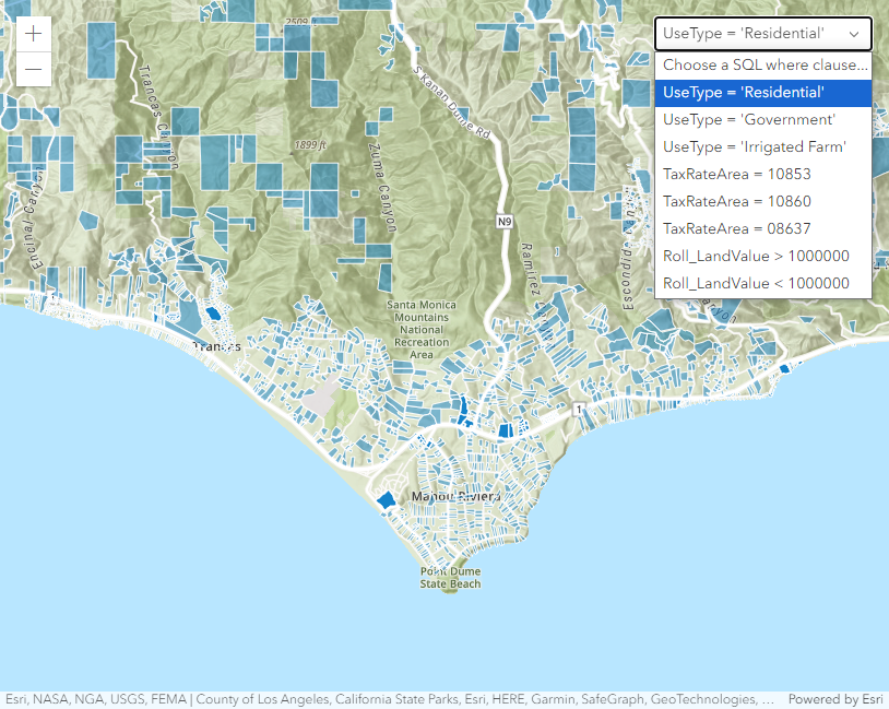
Query a feature layer (SQL)
Learn how to execute a SQL query to access point, line, polygon features from feature services.
Query a feature layer (spatial)
Learn how to execute a spatial query to access point, line, polygon features from feature services.
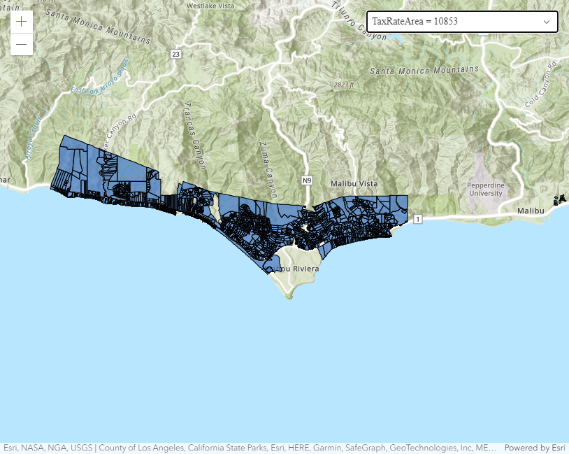
Filter a feature layer with SQL
Learn how to use a SQL query to limit features displayed in a feature layer.
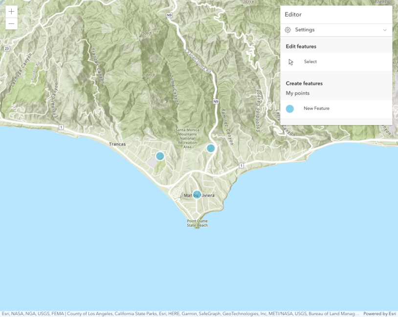
Edit
Geocoding
Display your location
Build an app to find and track your device location on a map.

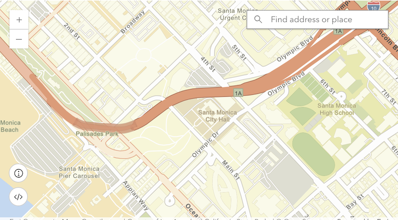
Search for an address
Learn how to convert an address or place to a location with the geocoding service.
Reverse geocode
Learn how to find an address near a location with the Geocoding service.
Find places
Learn how to search for businesses, administrative places, and geographic locations with the Geocoding service.
Charts
Display a chart
Learn how to display a chart from a feature layer stored in ArcGIS.
Bar chart
Learn how to create a bar chart using charts model.
Box plot
Learn how to create a box plot using charts model.
Heat chart
Learn how to create and customize a heat chart.
Pie chart
Learn how to create a pie chart using charts model.
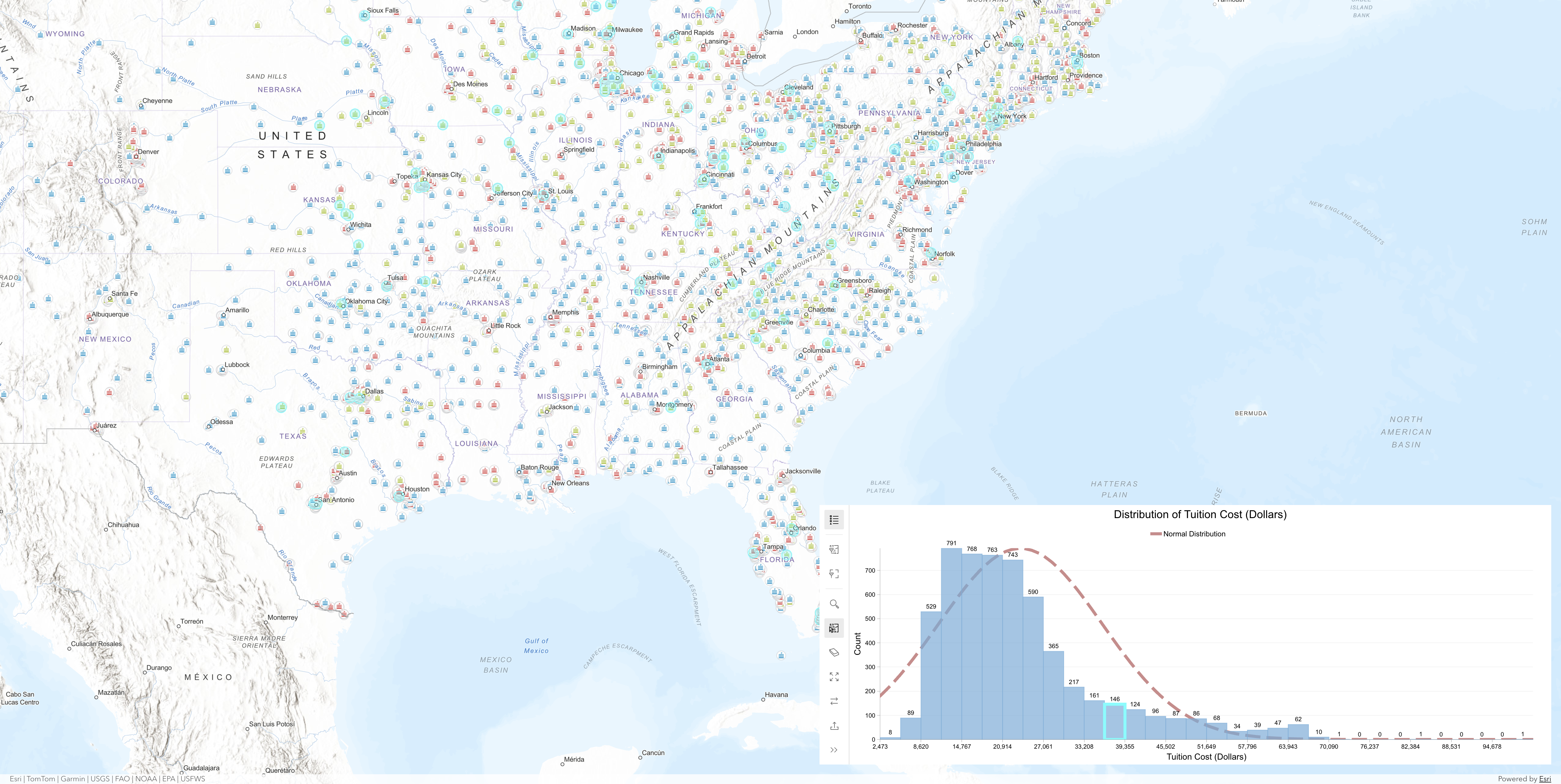
Chart and map interactions
Learn how to load a chart from a webmap and how to set up interactions between the chart and map using ArcGIS Maps SDK for JavaScript.
Routing
Display directions
Learn how to use the directions component.
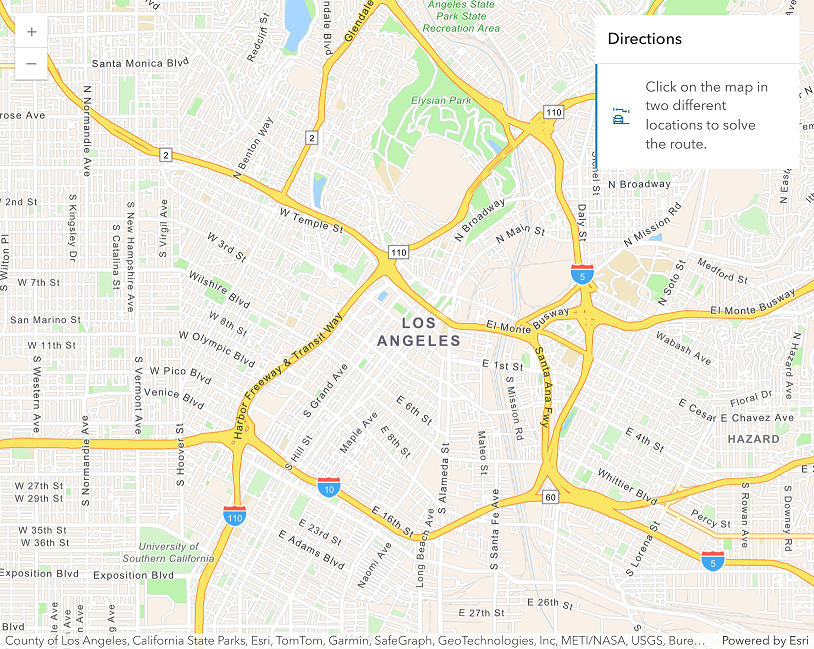
Find a route and directions
Learn how to find a route and directions with the routing service.
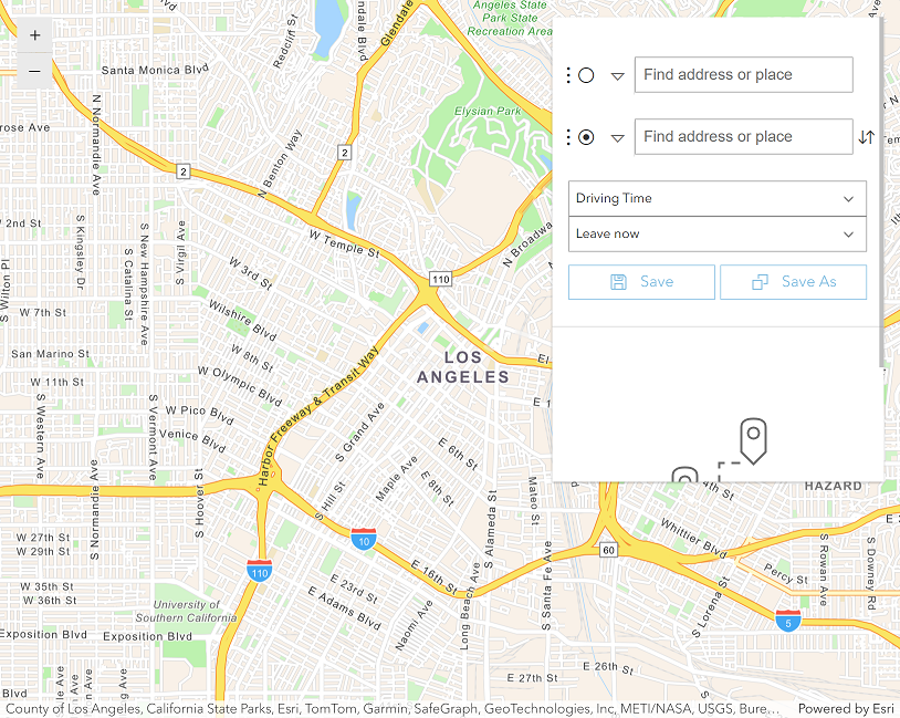
Find service areas
Learn how to calculate the area that can be reached in a given drive or walking time.
Places

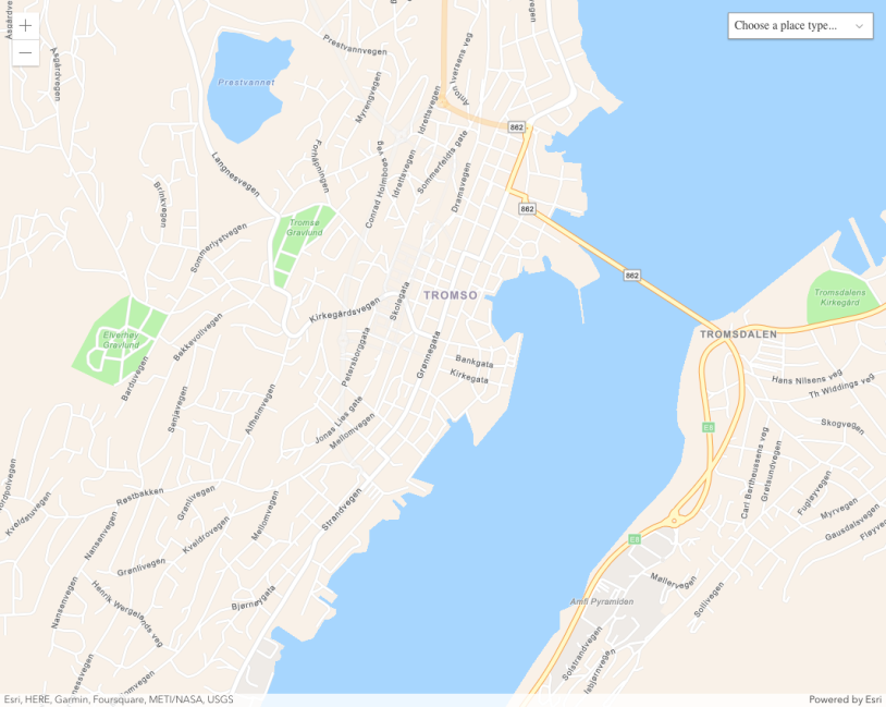
Find nearby places and details
Learn how to find points of interest near a location with the places service and get detailed information about them.
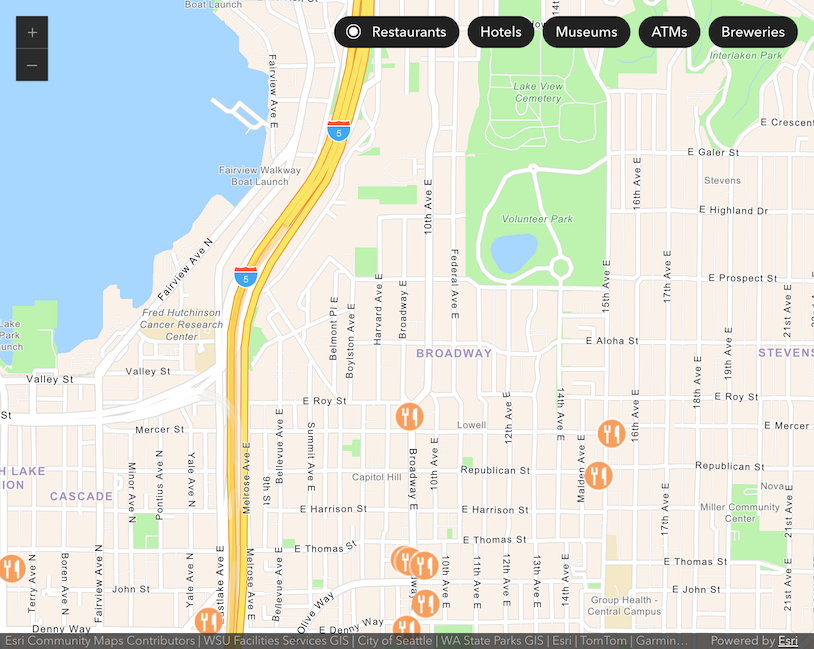
Find places in a bounding box
Learn how to perform a text-based search to find places within a bounding box.
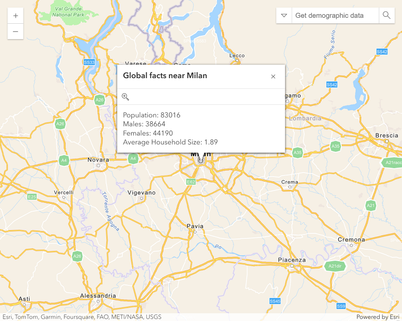
Demographics
Spatial analysis
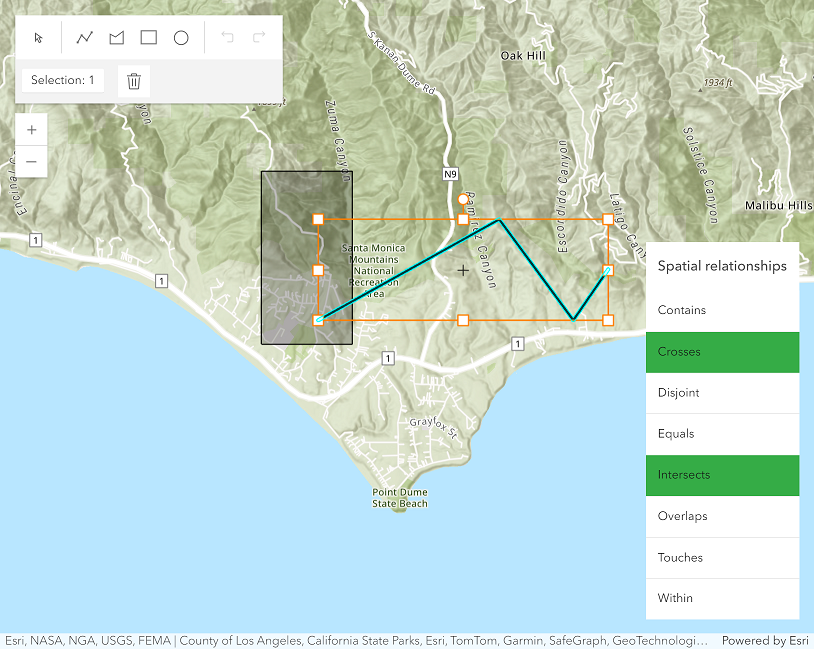
Find spatial relationships
Learn how to determine the spatial relationship on different geometries.
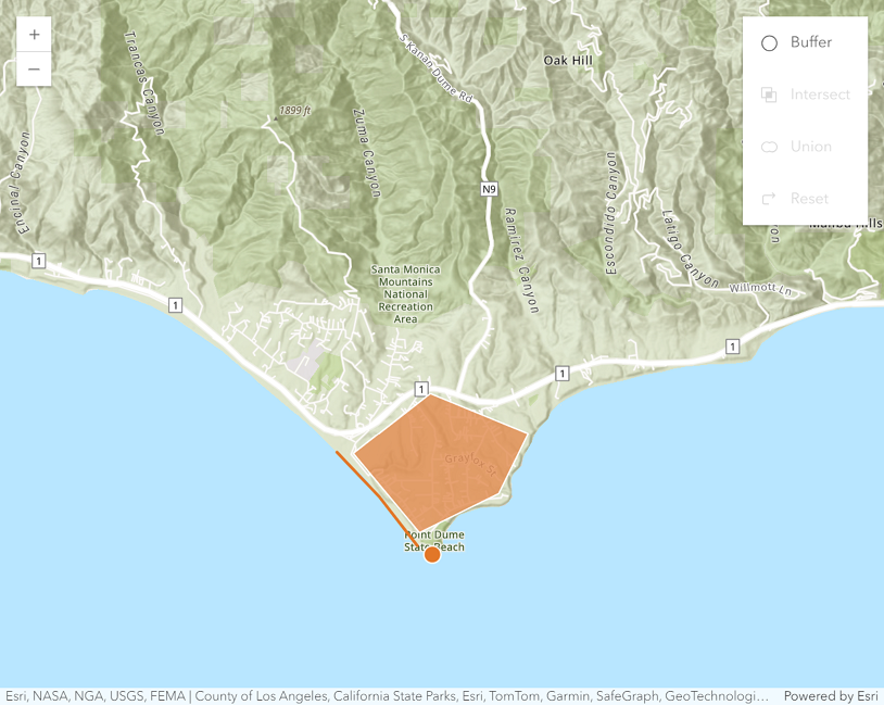
Calculate geometries
Learn how to perform calculations like buffer, intersect, and union on your geometries.
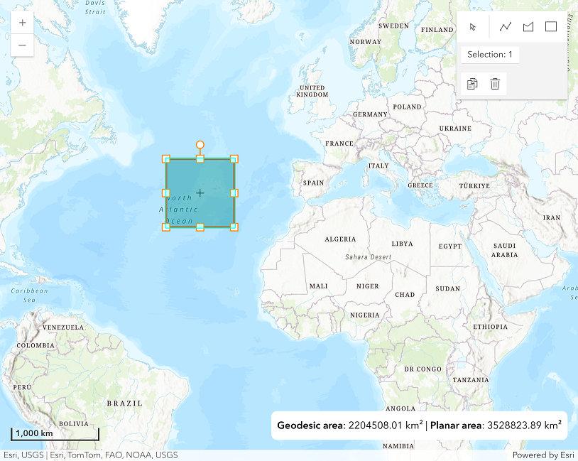
Find length and area
Learn how to calculate the length and area of geometries.
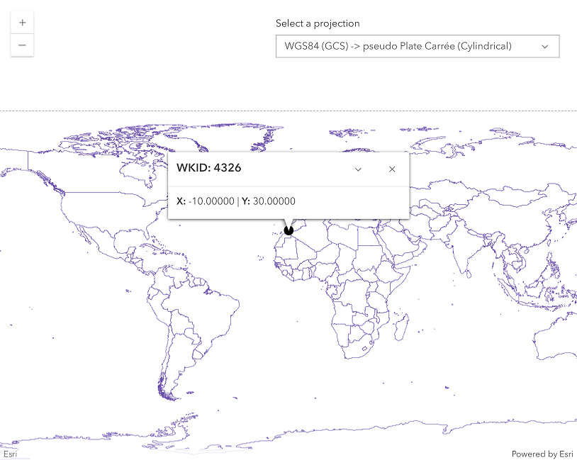
Display projected geometries
Learn how to use the projectOperator to project geometries.
ArcGIS portal
Display a web map from a portal
Learn how to display a map from a web map stored in ArcGIS.
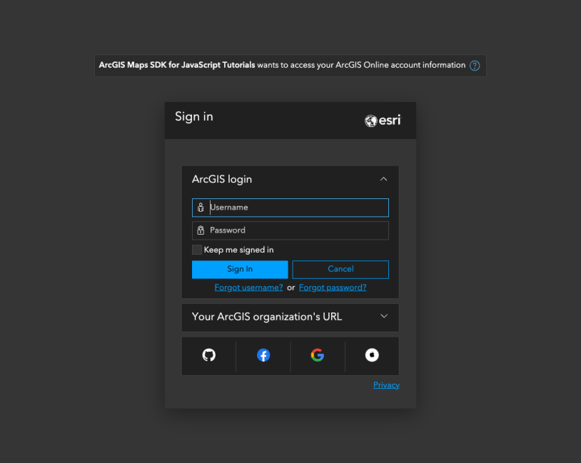
Implement user authentication
Learn how to implement user authentication to authenticate requests to secured ArcGIS resources
Migrate from Google Maps API
Display a map with Location Platform
Learn how to create and display a map.

Display a marker and a popup
Learn how to create and display a marker and a popup.
Search and geocode
Learn how to search and reverse geocode.
Display directions
Learn how to use the directions component.
Add shapes
Learn how to use add shapes to the map.