A feature service
Feature layers
A feature layer is a spatially-enabled table in a feature service
Below is an example of a feature layer that contains parcel features. Each feature contains a polygon geometry and a set of attributes.
Feature layer views
A feature layer view, also known as a view, is a feature layer with a definition that only exposes a subset of the features, fields, and/or capabilities of an existing feature layer
Below is an example of a feature layer view that only provides access to commercial parcels. Each feature contains a polygon geometry and set of attributes. This view is configured to only allow editing on commercial parcels. Only the owner or a group of ArcGIS users with the correct access and privileges can edit the features.
Tables
A table is a non-spatially enabled feature layer in a feature service
Below is an example of a table that contains features with attribute information for parcels.
Tutorials

Import data to create a feature layer
Use data management tools to import files and create a feature layer in a feature service.
Define a new feature layer
Use data management tools to define and create a new empty feature layer in a feature service.

Manage a feature layer
Use a hosted feature layer item to set the properties and settings of a feature layer in a feature service.

Create a vector tile service
Use data management tools to create a new vector tile service from a feature service.

Create a map tile service
Use ArcGIS Online or scripting APIs to publish a map tile service.
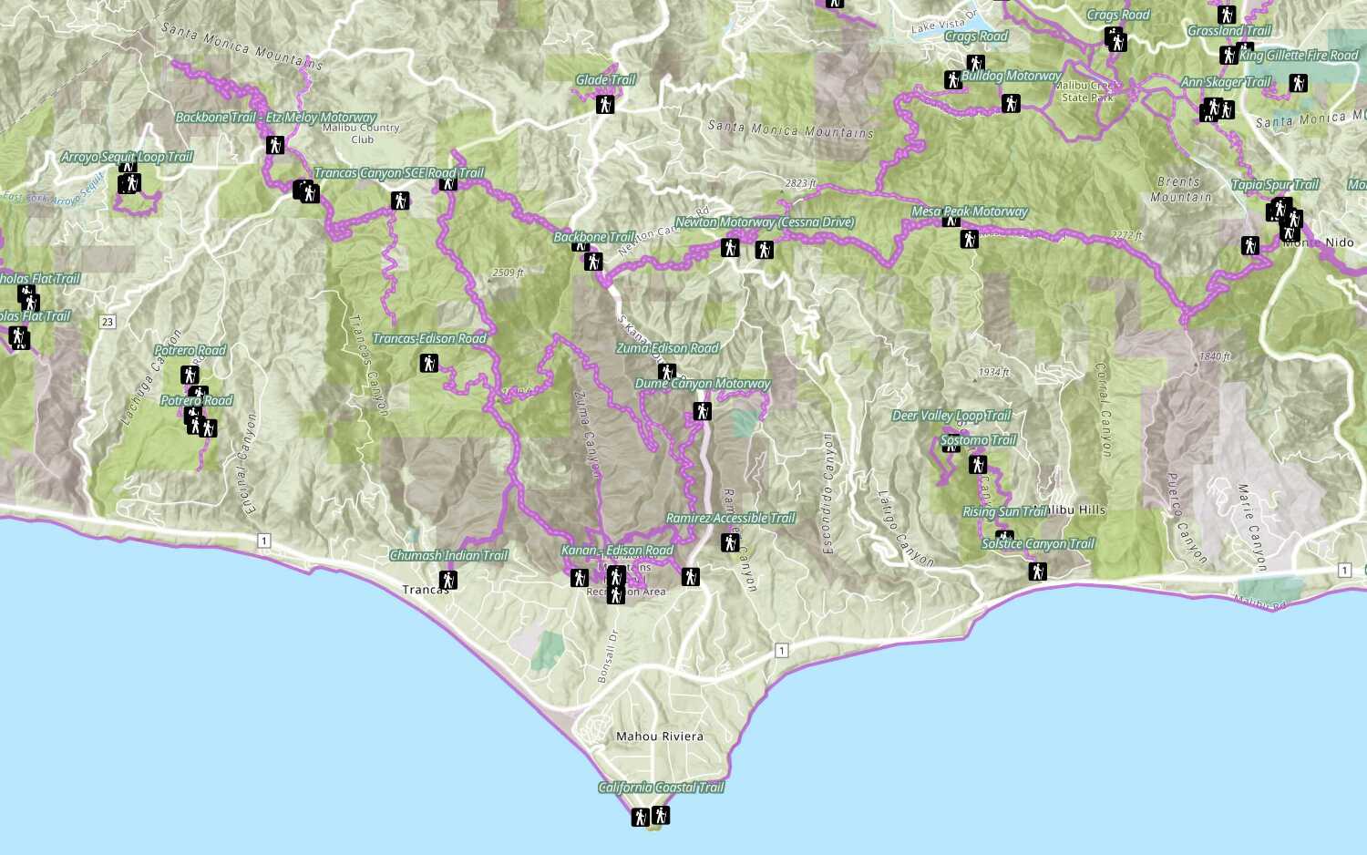
Add a feature layer
Access and display point, line, and polygon features from a feature service.
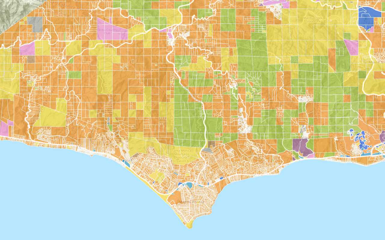
Add a vector tile layer

Add a map tile layer
Style a feature layer
Use symbols and renderers to style feature layers.
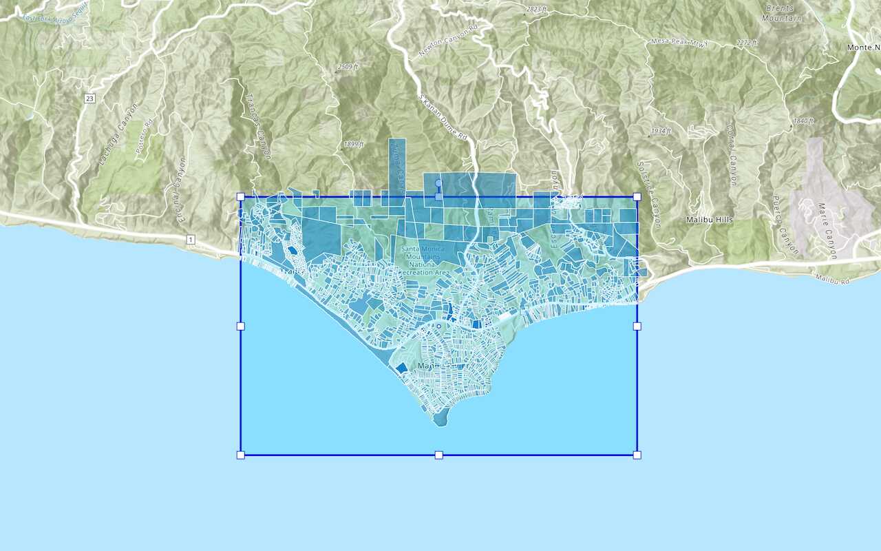
Query a feature layer (spatial)
Execute a spatial query to get features from a feature layer.
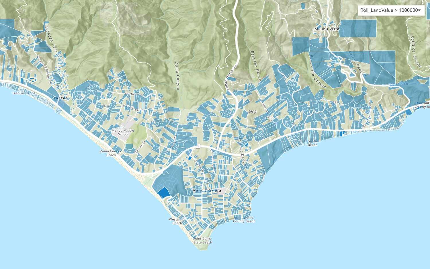
Query a feature layer (SQL)
Execute a SQL query to access polygon features from a feature layer.
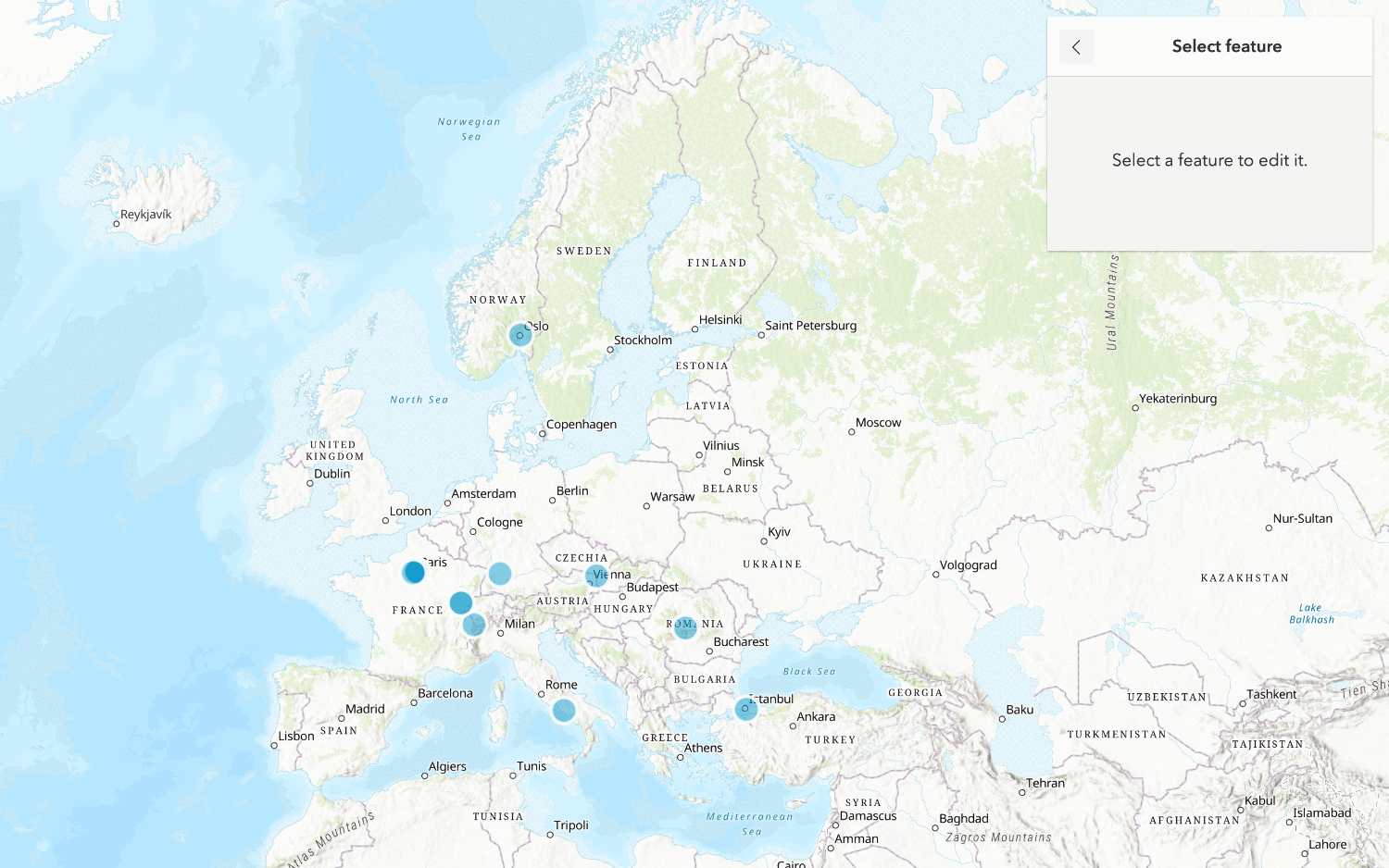
Edit feature data

Display a popup
Format a popup to show attributes in a feature layer.
Workflows
Create a feature service for an app
Learn how to import parcel data, create and style a feature layer, and then access the features in an app.

Create a feature layer view for an editor app
Learn how to import parcel data, create and style a feature layer view, and then access the features in an editing app.

Create a vector tile service for an app
Learn how to import parcel data, style a feature layer, and then create a vector tile service for an app.

Create a map tile service for an app
Learn how to import contour data, style a feature layer, and create a map tile service for an app.

Services
Feature service
Add, update, delete, and query feature data.
Vector tile service
Store and access vector tile data.
Map tile service
Store and access map tile data.
Image service
Store and access imagery and raster data.
API support
Use data management tools
- 1. Use portal class and direct REST API requests
- 2. Access via ArcGIS REST JS
- 3. Requires manually setting styles for renderers