Identify features in a scene to select.
Use case
You can select features to visually distinguish them with a selection color or highlighting. This can be useful to demonstrate the physical extent or associated attributes of a feature, or to initiate another action such as centering that feature in the scene view.
How to use the sample
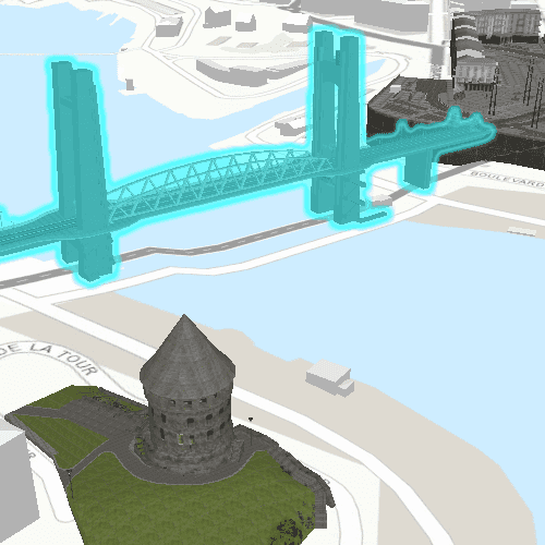
Click on a building in the scene layer to select it. Deselect buildings by clicking away from the buildings.
How it works
- Create an
ArcGISSceneLayerby passing in the URL to a scene layer service. - Use
SceneView.mouseClickedsignal to get the screen tap location screen point. - Call
SceneView.identifyLayerto identify features in the scene that intersect the tapped screen point. - From the resulting
IdentifyLayerResult, a list of identifiedGeoElementsare obtained. - Get the first element in the list is obtained and
ArcGISSceneLayer.selectFeature(feature)is used to select it.
About the data
This sample shows a Berlin, Germany Scene hosted on ArcGIS Online.
Relevant API
- ArcGISSceneLayer
- Scene
- SceneView
Tags
3D, Berlin, buildings, identify, model, query, search, select
Sample Code
SceneLayerSelection.qml
// [WriteFile Name=SceneLayerSelection, Category=Scenes]
// [Legal]
// Copyright 2018 Esri.
// Licensed under the Apache License, Version 2.0 (the "License");
// you may not use this file except in compliance with the License.
// You may obtain a copy of the License at
// http://www.apache.org/licenses/LICENSE-2.0
// Unless required by applicable law or agreed to in writing, software
// distributed under the License is distributed on an "AS IS" BASIS,
// WITHOUT WARRANTIES OR CONDITIONS OF ANY KIND, either express or implied.
// See the License for the specific language governing permissions and
// limitations under the License.
// [Legal]
import QtQuick
import Esri.ArcGISRuntime
Rectangle {
id: rootRectangle
clip: true
width: 800
height: 600
SceneView {
id: sceneView
anchors.fill: parent
Component.onCompleted: {
// Set the focus on SceneView to initially enable keyboard navigation
forceActiveFocus();
}
Scene {
id: scene
Basemap {
initStyle: Enums.BasemapStyleArcGISTopographic
}
// add a scene layer
ArcGISSceneLayer {
id: sceneLayer
url: "https://tiles.arcgis.com/tiles/P3ePLMYs2RVChkJx/arcgis/rest/services/Buildings_Brest/SceneServer/layers/0"
}
// set an initial viewpoint
ViewpointCenter {
Point {
id: initialPoint
x: -4.49779155626782
y: 48.38282454039932
z: 62.013264927081764
spatialReference: SpatialReference { wkid: 4326 }
}
targetScale: 62.013264927081764
Camera {
id: camera
location: initialPoint
heading: 41.64729875588979
pitch: 71.2017391571523
roll: 2.194677223e-314
}
}
// add an elevation surface
Surface {
ArcGISTiledElevationSource {
url: "https://elevation3d.arcgis.com/arcgis/rest/services/WorldElevation3D/Terrain3D/ImageServer"
}
}
}
// handle the identifyLayerStatusChanged signal
onIdentifyLayerStatusChanged: {
if (identifyLayerStatus !== Enums.TaskStatusCompleted)
return;
// get the results
const result = sceneView.identifyLayerResult;
const geoElements = result.geoElements;
// get the first GeoElement
if (geoElements.length > 0) {
// select the feature
sceneLayer.selectFeature(geoElements[0]);
}
}
// when the scene is clicked, identify the clicked feature and select it
onMouseClicked: mouse => {
// clear any previous selection
sceneLayer.clearSelection();
// identify from the click
sceneView.identifyLayer(sceneLayer, mouse.x, mouse.y, 10, false);
}
}
}