Display a map with a predefined initial extent.
Use case
You can set a map's initial location when you want to highlight a particular feature or area to establish the context.
How to use the sample
When the map loads, note the specific location of the initial map view.
How it works
- Create a
Envelope(xMin, yMin, xMax, yMax, SpatialReference). - Create a
ViewpointExtentcontaining the envelope. - Set the initial viewpoint of the map to the viewpoint extent.
Relevant API
- Basemap
- Map
- MapView
About the data
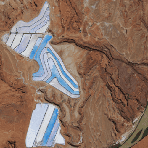
The map opens with satellite imagery of a guitar-shaped field in the Pampas region of north central Argentina.
Tags
basemap, center, envelope, extent, initial, lat, latitude, level of detail, location, LOD, long, longitude, scale, zoom level
Sample Code
SetInitialMapArea.qml
// [WriteFile Name=SetInitialMapArea, Category=Maps]
// [Legal]
// Copyright 2016 Esri.
// Licensed under the Apache License, Version 2.0 (the "License");
// you may not use this file except in compliance with the License.
// You may obtain a copy of the License at
// http://www.apache.org/licenses/LICENSE-2.0
// Unless required by applicable law or agreed to in writing, software
// distributed under the License is distributed on an "AS IS" BASIS,
// WITHOUT WARRANTIES OR CONDITIONS OF ANY KIND, either express or implied.
// See the License for the specific language governing permissions and
// limitations under the License.
// [Legal]
import QtQuick
import Esri.ArcGISRuntime
Rectangle {
width: 800
height: 600
// Create MapView that contains a Map with the Imagery Basemap
MapView {
id: mapView
anchors.fill: parent
Component.onCompleted: {
// Set the focus on MapView to initially enable keyboard navigation
forceActiveFocus();
}
Map {
Basemap {
initStyle: Enums.BasemapStyleArcGISImageryStandard
}
initialViewpoint: viewpoint
}
}
// Create the intial Viewpoint
ViewpointExtent {
id: viewpoint
extent: Envelope {
xMin: -12211308.778729
yMin: 4645116.003309
xMax: -12208257.879667
yMax: 4650542.535773
spatialReference: SpatialReference { wkid: 102100 }
}
}
}